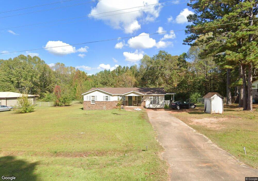
44 Hudson Rd Lagrange, GA 30240
Estimated Value: $184,000 - $274,000
3
Beds
2
Baths
2,024
Sq Ft
$120/Sq Ft
Est. Value
About This Home
This home is located at 44 Hudson Rd, Lagrange, GA 30240 and is currently estimated at $241,933, approximately $119 per square foot. 44 Hudson Rd is a home located in Troup County with nearby schools including Long Cane Elementary School, Berta Weathersbee Elementary School, and Whitesville Road Elementary School.
Ownership History
Date
Name
Owned For
Owner Type
Purchase Details
Closed on
Feb 7, 2001
Sold by
George W Arrington
Bought by
Arrington George W and Arrington Sandra C
Current Estimated Value
Purchase Details
Closed on
Aug 26, 1987
Bought by
George W Arrington
Purchase Details
Closed on
Feb 12, 1981
Purchase Details
Closed on
May 17, 1979
Purchase Details
Closed on
Apr 20, 1976
Purchase Details
Closed on
Apr 19, 1976
Purchase Details
Closed on
May 30, 1975
Create a Home Valuation Report for This Property
The Home Valuation Report is an in-depth analysis detailing your home's value as well as a comparison with similar homes in the area
Purchase History
We collect this data history from publicly available records. To have your information removed, we recommend requesting removal directly through your county’s website.
| Date | Buyer | Sale Price | Title Company |
|---|---|---|---|
| Arrington George W | -- | -- | |
| George W Arrington | $48,500 | -- | |
| George W Arrington | $48,500 | -- | |
| -- | -- | -- | |
| -- | -- | -- | |
| -- | -- | -- | |
| -- | $28,800 | -- | |
| -- | -- | -- |
Source: Public Records
Tax History
| Year | Tax Paid | Tax Assessment Tax Assessment Total Assessment is a certain percentage of the fair market value that is determined by local assessors to be the total taxable value of land and additions on the property. | Land | Improvement |
|---|---|---|---|---|
| 2025 | $2,002 | $85,880 | $15,400 | $70,480 |
| 2024 | $1,772 | $72,800 | $15,400 | $57,400 |
| 2023 | $1,921 | $72,440 | $15,400 | $57,040 |
| 2022 | $1,699 | $62,880 | $11,000 | $51,880 |
| 2021 | $1,312 | $45,480 | $11,000 | $34,480 |
| 2020 | $1,179 | $41,080 | $6,600 | $34,480 |
| 2019 | $1,244 | $43,240 | $6,600 | $36,640 |
| 2018 | $1,099 | $38,440 | $4,000 | $34,440 |
| 2017 | $1,099 | $38,440 | $4,000 | $34,440 |
| 2016 | $1,104 | $38,604 | $4,000 | $34,604 |
| 2015 | $1,071 | $37,412 | $4,000 | $33,412 |
| 2014 | $1,072 | $37,412 | $4,000 | $33,412 |
| 2013 | -- | $37,412 | $4,000 | $33,412 |
Source: Public Records
Map
Nearby Homes
- 105 Redwood Dr
- 3658 W Point Rd
- 22 Freeman Rd
- 2663-2683 W Point Rd
- 801 Glass Bridge Rd
- 245 Teaver Rd
- 20 Hill Rd
- 36 Hill Rd
- 5047 W Point Rd
- 104 Independence Ct
- 102 Bridgewater Dr
- 0 Bradfield Dr Unit 10568803
- 1054 Glass Bridge Rd
- 53 Horace Carter Rd
- 6 Hastings Ct
- 107 Waters Edge Dr
- 311 Cumberland Dr
- 101 Ivy Springs Dr
- 300 Cumberland Dr
- 1358 Glass Bridge Rd
- 56 Hudson Rd
- 30 Hudson Rd
- 68 Hudson Rd
- 16 Hudson Rd
- 78 Hudson Rd
- 6010 Old West Point Rd
- 5898 Old West Point Rd
- 6006 Old West Point Rd
- 1941 Cannonville Rd
- 121 Hudson Rd
- 6004 Old West Point Rd
- 6085 Old West Point Rd
- 1925 Cannonville Rd
- 6035 Old West Point Rd
- 35 Maefield Dr
- 6002 Old West Point Rd
- 49 Maefield Dr
- 55 Maefield Dr
- 6015 Old West Point Rd
- 1911 Cannonville Rd
Your Personal Tour Guide
Ask me questions while you tour the home.