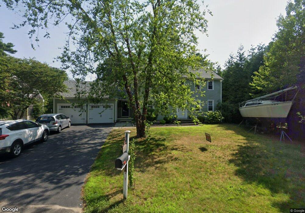
44 Joanne Dr Marion, MA 02738
Estimated Value: $656,000 - $766,000
4
Beds
3
Baths
2,104
Sq Ft
$344/Sq Ft
Est. Value
About This Home
This home is located at 44 Joanne Dr, Marion, MA 02738 and is currently estimated at $722,937, approximately $343 per square foot. 44 Joanne Dr is a home located in Plymouth County with nearby schools including Old Rochester Regional High School and Tabor Academy.
Ownership History
Date
Name
Owned For
Owner Type
Purchase Details
Closed on
Oct 1, 2003
Sold by
Roth William D and Roth Paige J
Bought by
Walsh Shaun P and Walsh Karen
Current Estimated Value
Purchase Details
Closed on
Sep 28, 2001
Sold by
Durr Jeffrey A
Bought by
Roth William D and Roth Paige J
Purchase Details
Closed on
Sep 20, 1996
Sold by
Rjm Corp
Bought by
Durr Jeffrey A
Create a Home Valuation Report for This Property
The Home Valuation Report is an in-depth analysis detailing your home's value as well as a comparison with similar homes in the area
Purchase History
We collect this data history from publicly available records. To have your information removed, we recommend requesting removal directly through your county’s website.
| Date | Buyer | Sale Price | Title Company |
|---|---|---|---|
| Walsh Shaun P | $370,000 | -- | |
| Roth William D | $290,000 | -- | |
| Durr Jeffrey A | $169,584 | -- |
Source: Public Records
Mortgage History
We collect this data history from publicly available records. To have your information removed, we recommend requesting removal directly through your county’s website.
| Date | Status | Borrower | Loan Amount |
|---|---|---|---|
| Open | Durr Jeffrey A | $197,000 | |
| Closed | Durr Jeffrey A | $200,000 | |
| Closed | Durr Jeffrey A | $50,000 |
Source: Public Records
Tax History
| Year | Tax Paid | Tax Assessment Tax Assessment Total Assessment is a certain percentage of the fair market value that is determined by local assessors to be the total taxable value of land and additions on the property. | Land | Improvement |
|---|---|---|---|---|
| 2025 | $5,449 | $584,700 | $219,400 | $365,300 |
| 2024 | $5,364 | $579,300 | $219,400 | $359,900 |
| 2023 | $4,945 | $523,800 | $190,900 | $332,900 |
| 2022 | $4,581 | $422,200 | $143,500 | $278,700 |
| 2021 | $4,448 | $392,900 | $121,600 | $271,300 |
| 2020 | $4,136 | $353,500 | $113,500 | $240,000 |
| 2019 | $3,899 | $353,500 | $113,500 | $240,000 |
| 2018 | $3,812 | $332,900 | $112,400 | $220,500 |
| 2017 | $3,668 | $321,500 | $112,400 | $209,100 |
| 2016 | $3,773 | $333,600 | $118,800 | $214,800 |
| 2015 | $3,559 | $320,300 | $116,800 | $203,500 |
Source: Public Records
Map
Nearby Homes
- 9 Deer Run
- 174 Cross Neck Rd
- 492 Delano Rd
- 44 Oakdale Ave
- 63 Oakdale Ave
- 44 Stoney Run Ln
- 7 Blackhall Ct
- 4 Blackhall Ct
- 245 Wareham Rd
- 170 Wareham Rd
- 0 Cross Neck Rd Unit 73420524
- 0 Cross Neck Rd Unit 73466177
- 0 Cross Neck Rd Unit 73420525
- 16 Bass Point Rd
- 58 Delano Rd
- 329 Front St
- 31 Main St
- 14 Vine St
- 468 Mill St
- 16 Vine St
Your Personal Tour Guide
Ask me questions while you tour the home.