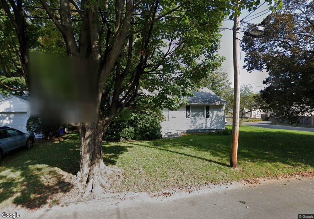
44 Notre Dame St Springfield, MA 01104
East Springfield NeighborhoodEstimated Value: $221,000 - $276,000
3
Beds
1
Bath
864
Sq Ft
$296/Sq Ft
Est. Value
About This Home
This home is located at 44 Notre Dame St, Springfield, MA 01104 and is currently estimated at $255,996, approximately $296 per square foot. 44 Notre Dame St is a home located in Hampden County with nearby schools including Mary O. Pottenger Elementary School, Van Sickle Academy, and Springfield Central High School.
Ownership History
Date
Name
Owned For
Owner Type
Purchase Details
Closed on
Nov 16, 2007
Sold by
Irwin Stuart and Kowalski Joan S
Bought by
Broderick William
Current Estimated Value
Home Financials for this Owner
Home Financials are based on the most recent Mortgage that was taken out on this home.
Original Mortgage
$84,000
Outstanding Balance
$51,760
Interest Rate
6.41%
Mortgage Type
Purchase Money Mortgage
Estimated Equity
$204,236
Create a Home Valuation Report for This Property
The Home Valuation Report is an in-depth analysis detailing your home's value as well as a comparison with similar homes in the area
Home Values in the Area
Average Home Value in this Area
Purchase History
| Date | Buyer | Sale Price | Title Company |
|---|---|---|---|
| Broderick William | $105,000 | -- |
Source: Public Records
Mortgage History
| Date | Status | Borrower | Loan Amount |
|---|---|---|---|
| Open | Broderick William | $84,000 |
Source: Public Records
Tax History
| Year | Tax Paid | Tax Assessment Tax Assessment Total Assessment is a certain percentage of the fair market value that is determined by local assessors to be the total taxable value of land and additions on the property. | Land | Improvement |
|---|---|---|---|---|
| 2025 | $3,330 | $212,400 | $38,500 | $173,900 |
| 2024 | $3,056 | $190,300 | $38,500 | $151,800 |
| 2023 | $3,338 | $195,800 | $35,900 | $159,900 |
| 2022 | $2,682 | $142,500 | $33,500 | $109,000 |
| 2021 | $2,606 | $137,900 | $30,500 | $107,400 |
| 2020 | $2,437 | $124,800 | $30,500 | $94,300 |
| 2019 | $2,295 | $116,600 | $31,500 | $85,100 |
| 2018 | $2,281 | $115,900 | $31,500 | $84,400 |
| 2017 | $2,224 | $113,100 | $28,500 | $84,600 |
| 2016 | $2,159 | $109,800 | $28,500 | $81,300 |
| 2015 | $2,174 | $110,500 | $28,500 | $82,000 |
Source: Public Records
Map
Nearby Homes
- 3 Fordham St
- 51 E Canton Cir
- 456-458 Page Blvd
- 25-27 Santa Barbara St
- 21-23 Santa Barbara St
- 126 Windemere St
- 47 Holy Cross St
- 245 El Paso St
- 114 Monrovia St
- 73 Oklahoma St
- 66 Thornton St
- 152 Monrovia St
- 158 Monrovia St
- 112 W Canton Cir
- 890-892 Saint James Ave
- 191 Monrovia St
- 884-886 Saint James Ave
- 878-880 Saint James Ave
- 58 Eureka St
- 23 Ralph Cir
- 36 Notre Dame St
- 31 Lang St
- 21 Lang St
- 41 Notre Dame St Unit 43
- 28 Notre Dame St
- 43 Lang St
- 47 Notre Dame St
- 37 Notre Dame St
- 60 Notre Dame St
- 53 Notre Dame St
- 24 Notre Dame St
- N S Notre Dame
- 24 Notre Dame St
- 29 Notre Dame St
- 38 Lang St
- 57 Notre Dame St
- 51 Lang St
- 11 Lang St
- 66 Notre Dame St
- 22 Lang St Unit 24
Your Personal Tour Guide
Ask me questions while you tour the home.