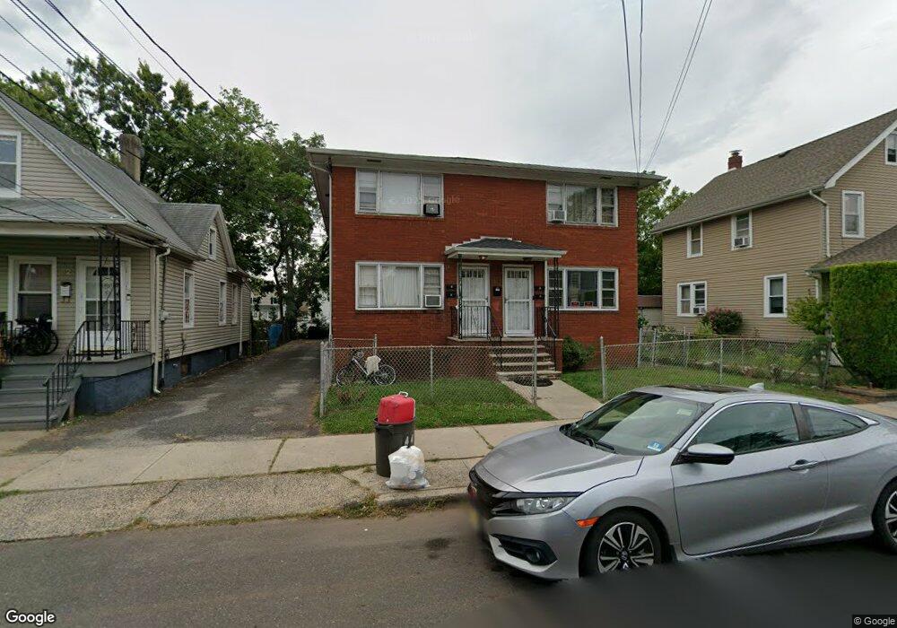
44 Powers St New Brunswick, NJ 08901
Estimated Value: $642,000 - $870,000
Studio
--
Bath
2,944
Sq Ft
$249/Sq Ft
Est. Value
About This Home
This home is located at 44 Powers St, New Brunswick, NJ 08901 and is currently estimated at $734,423, approximately $249 per square foot. 44 Powers St is a home located in Middlesex County with nearby schools including New Brunswick High School, Central Jersey College Prep Charter School, and St. Mary of Mount Virgin School.
Ownership History
Date
Name
Owned For
Owner Type
Purchase Details
Closed on
Apr 25, 2005
Sold by
Davenport Johnie
Bought by
Angeles Italo and Lord Ampelia
Current Estimated Value
Home Financials for this Owner
Home Financials are based on the most recent Mortgage that was taken out on this home.
Original Mortgage
$359,600
Outstanding Balance
$187,613
Interest Rate
5.95%
Mortgage Type
New Conventional
Estimated Equity
$546,810
Create a Home Valuation Report for This Property
The Home Valuation Report is an in-depth analysis detailing your home's value as well as a comparison with similar homes in the area
Home Values in the Area
Average Home Value in this Area
Purchase History
| Date | Buyer | Sale Price | Title Company |
|---|---|---|---|
| Angeles Italo | $405,000 | -- |
Source: Public Records
Mortgage History
| Date | Status | Borrower | Loan Amount |
|---|---|---|---|
| Open | Angeles Italo | $359,600 |
Source: Public Records
Tax History
| Year | Tax Paid | Tax Assessment Tax Assessment Total Assessment is a certain percentage of the fair market value that is determined by local assessors to be the total taxable value of land and additions on the property. | Land | Improvement |
|---|---|---|---|---|
| 2025 | $8,685 | $331,600 | $112,500 | $219,100 |
| 2024 | $8,433 | $331,600 | $112,500 | $219,100 |
| 2023 | $8,433 | $331,600 | $112,500 | $219,100 |
| 2022 | $8,254 | $331,600 | $112,500 | $219,100 |
| 2021 | $6,123 | $331,600 | $112,500 | $219,100 |
| 2020 | $8,191 | $331,600 | $112,500 | $219,100 |
| 2019 | $8,035 | $331,600 | $112,500 | $219,100 |
| 2018 | $7,852 | $331,600 | $112,500 | $219,100 |
| 2017 | $7,541 | $331,600 | $112,500 | $219,100 |
| 2016 | $10,447 | $178,100 | $33,800 | $144,300 |
| 2015 | $10,198 | $178,100 | $33,800 | $144,300 |
| 2014 | $10,016 | $178,100 | $33,800 | $144,300 |
Source: Public Records
Map
Nearby Homes
- 105 N Talmadge St
- 168 Throop Ave
- 63 Renaissance Ln Unit 13A
- 49 Comstock St
- 1224 Dogwood Ct
- 131 Comstock St
- 82 S Ward St
- 65 Hale St
- 1035 Dogwood Ct
- 1031 Dogwood Ct
- 1332 Fernwood Ct Unit 1332
- 1311 Fernwood Ct Unit 1311
- 44 S Ward St
- 36 Baldwin St
- 132A Remsen Ave
- 130B Remsen Ave Unit B
- 130B Remsen Ave
- 28 Handy St
- 122B Remsen Ave Unit A
- 122A Remsen Ave Unit A
Your Personal Tour Guide
Ask me questions while you tour the home.