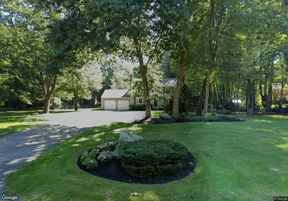
44 Walcott Cir Marlborough, MA 01752
Marlborough AreaEstimated Value: $688,000 - $800,000
About This Home
This home is located at 44 Walcott Cir, Marlborough, MA 01752 and is currently estimated at $744,439, approximately $384 per square foot. 44 Walcott Cir is a home located in Middlesex County with nearby schools including Marlborough High School, Advanced Math & Science Academy, and New Covenant Christian School.
Ownership History
We collect this data history from publicly available records. To have your information removed, we recommend requesting removal directly through your county’s website.
Purchase Details
Home Values in the Area
Average Home Value in this Area
Purchase History
We collect this data history from publicly available records. To have your information removed, we recommend requesting removal directly through your county’s website.
| Date | Buyer | Sale Price | Title Company |
|---|---|---|---|
| $161,000 | -- |
Mortgage History
We collect this data history from publicly available records. To have your information removed, we recommend requesting removal directly through your county’s website.
| Date | Status | Borrower | Loan Amount |
|---|---|---|---|
| Open | $228,000 | ||
| Closed | $550,000 | ||
| Closed | $229,000 | ||
| Closed | $131,500 |
Tax History
We collect this data history from publicly available records. To have your information removed, we recommend requesting removal directly through your county’s website.
| Year | Tax Paid | Tax Assessment Tax Assessment Total Assessment is a certain percentage of the fair market value that is determined by local assessors to be the total taxable value of land and additions on the property. | Land | Improvement |
|---|---|---|---|---|
| 2025 | $6,646 | $674,000 | $272,300 | $401,700 |
| 2024 | $6,371 | $622,200 | $247,700 | $374,500 |
| 2023 | $6,615 | $573,200 | $209,100 | $364,100 |
| 2022 | $6,515 | $496,600 | $199,600 | $297,000 |
| 2021 | $4,801 | $470,600 | $170,000 | $300,600 |
| 2020 | $6,307 | $444,800 | $156,500 | $288,300 |
| 2019 | $4,567 | $433,700 | $153,600 | $280,100 |
| 2018 | $6,169 | $421,700 | $143,200 | $278,500 |
| 2017 | $6,073 | $396,400 | $145,500 | $250,900 |
| 2016 | $5,825 | $379,700 | $145,500 | $234,200 |
| 2015 | $5,951 | $377,600 | $151,100 | $226,500 |
Map
- 650 Brigham St
- 218 Stearns Rd
- 10 Robin Dr Unit 1
- 277 W Main St Unit 36
- 28 Beach St
- 273 W Main St Unit B12
- 4 Nipmuc Ln
- 45 Lakeside Ave Unit 33
- 30 Broad St Unit 203
- 30 Broad St Unit 204
- 30 Winter Ave
- 123 Mount Pleasant St
- 11 Winter Ave
- 61 Broad St
- 7 Versailles St
- 39 Orchard St
- 31 Gibbon St
- 4 Dairy Farm Ln
- 55 Pleasant St
- 11 Brook St
- 32 Walcott Cir
- 58 Walcott Cir
- 520 Brigham St
- 35 Walcott Cir
- 35 Walcott Cir Unit 35
- 20 Walcott Cir
- 47 Walcott Cir
- 23 Walcott Cir
- 524 Brigham St
- 528 Brigham St
- 8 Walcott Cir
- 59 Walcott Cir
- 9 Walcott Cir
- 122 Kelleher St
- 565 Brigham St
- 553 Brigham St
- 573 Brigham St
- 98 Kelleher St
- 547 Brigham St
- 602 Brigham St
Ask me questions while you tour the home.