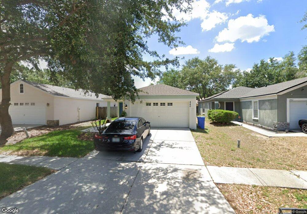
440 Maple Pointe Dr Seffner, FL 33584
Estimated Value: $319,000 - $340,000
About This Home
This home is located at 440 Maple Pointe Dr, Seffner, FL 33584 and is currently estimated at $328,028, approximately $220 per square foot. 440 Maple Pointe Dr is a home located in Hillsborough County with nearby schools including Lopez Elementary School, Burnett Middle School, and Armwood High School.
Ownership History
We collect this data history from publicly available records. To have your information removed, we recommend requesting removal directly through your county’s website.
Purchase Details
Home Financials for this Owner
Home Financials are based on the most recent Mortgage that was taken out on this home.Home Values in the Area
Average Home Value in this Area
Purchase History
We collect this data history from publicly available records. To have your information removed, we recommend requesting removal directly through your county’s website.
| Date | Buyer | Sale Price | Title Company |
|---|---|---|---|
| -- | -- |
Mortgage History
We collect this data history from publicly available records. To have your information removed, we recommend requesting removal directly through your county’s website.
| Date | Status | Borrower | Loan Amount |
|---|---|---|---|
| Open | $100,876 |
Tax History
We collect this data history from publicly available records. To have your information removed, we recommend requesting removal directly through your county’s website.
| Year | Tax Paid | Tax Assessment Tax Assessment Total Assessment is a certain percentage of the fair market value that is determined by local assessors to be the total taxable value of land and additions on the property. | Land | Improvement |
|---|---|---|---|---|
| 2025 | $4,368 | $228,121 | $67,980 | $160,141 |
| 2024 | $4,368 | $225,864 | $65,714 | $160,150 |
| 2023 | $4,047 | $213,997 | $65,714 | $148,283 |
| 2022 | $3,670 | $196,615 | $56,650 | $139,965 |
| 2021 | $3,647 | $160,956 | $45,320 | $115,636 |
| 2020 | $3,326 | $143,019 | $40,788 | $102,231 |
| 2019 | $3,211 | $139,512 | $35,123 | $104,389 |
| 2018 | $2,991 | $128,261 | $0 | $0 |
| 2017 | $2,837 | $122,663 | $0 | $0 |
| 2016 | $2,675 | $103,442 | $0 | $0 |
| 2015 | $2,549 | $94,038 | $0 | $0 |
| 2014 | $2,364 | $85,489 | $0 | $0 |
| 2013 | -- | $77,717 | $0 | $0 |
Map
- 763 Star Pointe Dr
- 728 Parsons Mooring Ct
- 719 Vineyard Reserve Ct
- 704 Parsons Pointe St
- 920 Brinwood Dr
- 814 Coade Stone Dr
- 503 de Resine Carre St Unit 503DR
- 1010 N Parsons Ave
- 708 Coade Stone Dr
- 634 Auxerre Cir Unit 634AC
- 605 de Resine Carre St Unit 605DR
- 217 Aladana Dr Unit 217
- 608 Clairvaux Rue
- 107 Elina Sky Dr
- 308 Abyhara Ave Unit 308
- 1214 Florablu Dr
- 1220 Florablu Dr
- 109 Azul Dr
- 215 Fern Gulley Dr
- 127 Winston Manor Cir
- 441 Maple Pointe Dr
- 443 Maple Pointe Dr Unit A
- 439 Maple Pointe Dr
- 445 Maple Pointe Dr Unit A
- 437 Maple Pointe Dr
- 447 Maple Pointe Dr
- 435 Maple Pointe Dr
- 442 Maple Pointe Dr Unit A
- 444 Maple Pointe Dr
- 433 Maple Pointe Dr
- 446 Maple Pointe Dr Unit A
- 438 Maple Pointe Dr
- 436 Maple Pointe Dr
- 448 Maple Pointe Dr Unit A
- 449 Maple Pointe Dr Unit A
- 431 Maple Pointe Dr
- 434 Maple Pointe Dr
- 451 Maple Pointe Dr
- 429 Maple Pointe Dr
- 432 Maple Pointe Dr
Ask me questions while you tour the home.