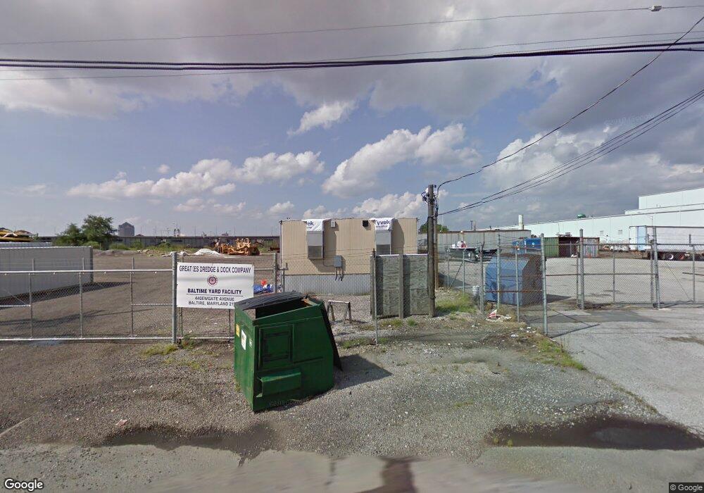
4400 Newgate Ave Baltimore, MD 21224
Studio
--
Bath
--
Sq Ft
34,412
Sq Ft Lot
About This Home
This home is located at 4400 Newgate Ave, Baltimore, MD 21224. 4400 Newgate Ave is a home located in Baltimore City with nearby schools including Booker T. Washington Middle School, Patterson High School, and Paul Laurence Dunbar High School.
Ownership History
Date
Name
Owned For
Owner Type
Purchase Details
Closed on
Oct 25, 2021
Sold by
Grp 1770 Union Ave Llc
Bought by
Mid Atlantic Rock Storage Llc
Purchase Details
Closed on
Jun 5, 2019
Sold by
Canton Marine Terminal Inc
Bought by
Grp 232 Cockeysville Llc and Grp 1770 Union Ave Llc
Home Financials for this Owner
Home Financials are based on the most recent Mortgage that was taken out on this home.
Original Mortgage
$4,200,000
Interest Rate
4.1%
Mortgage Type
Commercial
Create a Home Valuation Report for This Property
The Home Valuation Report is an in-depth analysis detailing your home's value as well as a comparison with similar homes in the area
Purchase History
| Date | Buyer | Sale Price | Title Company |
|---|---|---|---|
| Mid Atlantic Rock Storage Llc | $36,000,000 | None Available | |
| Grp 232 Cockeysville Llc | $8,500,000 | Residential T&E Co |
Source: Public Records
Mortgage History
| Date | Status | Borrower | Loan Amount |
|---|---|---|---|
| Previous Owner | Grp 232 Cockeysville Llc | $4,200,000 |
Source: Public Records
Tax History
| Year | Tax Paid | Tax Assessment Tax Assessment Total Assessment is a certain percentage of the fair market value that is determined by local assessors to be the total taxable value of land and additions on the property. | Land | Improvement |
|---|---|---|---|---|
| 2025 | $12,419 | $692,400 | $688,200 | $4,200 |
| 2024 | $12,419 | $528,767 | -- | -- |
| 2023 | $4,730 | $1,045,667 | $0 | $0 |
| 2022 | $4,755 | $201,500 | $197,200 | $4,300 |
| 2021 | $3,740 | $158,467 | $0 | $0 |
| 2020 | $2,724 | $115,433 | $0 | $0 |
| 2019 | $1,700 | $72,400 | $67,000 | $5,400 |
| 2018 | $1,709 | $72,400 | $67,000 | $5,400 |
| 2017 | $1,709 | $72,400 | $0 | $0 |
| 2016 | $1,741 | $73,300 | $0 | $0 |
| 2015 | $1,741 | $73,300 | $0 | $0 |
| 2014 | $1,741 | $73,300 | $0 | $0 |
Source: Public Records
Map
Nearby Homes
- 1604 Charlotte Ave
- 1527 Elrino St
- 1523 Elrino St
- 6321 Brown Ave
- 3424 Toone St
- 6302 Brown Ave
- 6320 Brown Ave
- 5905 O Donnell St
- 6573 Saint Helena Ave
- 1106 Anglesea St
- 3427 Odonnell St
- 966 S Macon St
- 3407 O Donnell St
- 3518 Odonnell St
- 6556 Parnell Ave
- 4005 Harmony Ct
- 4609 Hudson St
- 1101 S Clinton St
- 3800 Dillon St
- 3134 Elliott St
- 4500 Newgate Ave
- 4616 Newgate Ave
- 4401 Newgate Ave
- 4601 Newgate Ave
- 4701 Newgate Ave
- 5200 Newgate Ave
- 2301 S Newkirk St
- 4801 Newgate Ave
- 2207 S Newkirk St
- 2209 S Newkirk St
- 4000 Leland Ave
- 3800 Newgate Ave
- 5001 Keith Ave
- 2200 Vail St
- 4851 Holabird Ave
- 3400 Mertens Ave
- 2121 S Clinton St
- 2300 Broening Hwy
- 2111 S Clinton St
- 2010 Broening Hwy
Your Personal Tour Guide
Ask me questions while you tour the home.