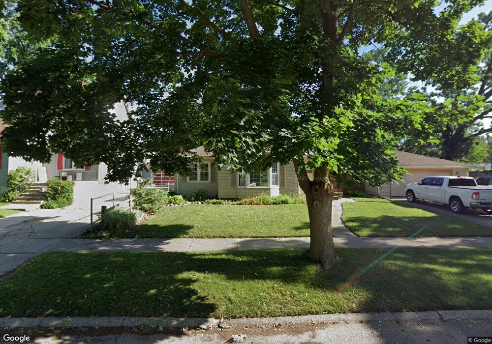
441 Burroughs Ave Flint, MI 48507
Circle Drive NeighborhoodEstimated Value: $77,277 - $123,000
2
Beds
2
Baths
923
Sq Ft
$102/Sq Ft
Est. Value
About This Home
This home is located at 441 Burroughs Ave, Flint, MI 48507 and is currently estimated at $93,819, approximately $101 per square foot. 441 Burroughs Ave is a home located in Genesee County with nearby schools including Freeman Elementary School, Flint Southwestern Classical Academy, and Burton Glen Charter Academy.
Ownership History
Date
Name
Owned For
Owner Type
Purchase Details
Closed on
Jun 7, 2024
Sold by
Dailey Daniel J
Bought by
Dailey Daniel J and Wallace Kortney L
Current Estimated Value
Purchase Details
Closed on
Jul 27, 2011
Sold by
Mireles Steve
Bought by
Dailey Daniel
Purchase Details
Closed on
Aug 29, 2003
Sold by
Cox Michael K and Cox Joanna M
Bought by
Mireles Steve
Purchase Details
Closed on
May 20, 1999
Sold by
Cox Susan M and Emery Richard C
Bought by
Cox Michael K
Home Financials for this Owner
Home Financials are based on the most recent Mortgage that was taken out on this home.
Original Mortgage
$57,924
Interest Rate
6.92%
Mortgage Type
Purchase Money Mortgage
Create a Home Valuation Report for This Property
The Home Valuation Report is an in-depth analysis detailing your home's value as well as a comparison with similar homes in the area
Home Values in the Area
Average Home Value in this Area
Purchase History
| Date | Buyer | Sale Price | Title Company |
|---|---|---|---|
| Dailey Daniel J | -- | None Listed On Document | |
| Dailey Daniel J | -- | None Listed On Document | |
| Dailey Daniel | $37,000 | Sargents Title Company | |
| Mireles Steve | $89,900 | Sargents Title Company | |
| Cox Michael K | $60,000 | First American Title |
Source: Public Records
Mortgage History
| Date | Status | Borrower | Loan Amount |
|---|---|---|---|
| Previous Owner | Cox Michael K | $57,924 |
Source: Public Records
Tax History
| Year | Tax Paid | Tax Assessment Tax Assessment Total Assessment is a certain percentage of the fair market value that is determined by local assessors to be the total taxable value of land and additions on the property. | Land | Improvement |
|---|---|---|---|---|
| 2025 | $1,039 | $47,900 | $0 | $0 |
| 2024 | $939 | $42,400 | $0 | $0 |
| 2023 | $921 | $39,500 | $0 | $0 |
| 2022 | $0 | $31,800 | $0 | $0 |
| 2021 | $959 | $27,500 | $0 | $0 |
| 2020 | $863 | $22,600 | $0 | $0 |
| 2019 | $840 | $17,100 | $0 | $0 |
| 2018 | $843 | $15,800 | $0 | $0 |
| 2017 | $820 | $0 | $0 | $0 |
| 2016 | $814 | $0 | $0 | $0 |
| 2015 | -- | $0 | $0 | $0 |
| 2014 | -- | $0 | $0 | $0 |
| 2012 | -- | $15,900 | $0 | $0 |
Source: Public Records
Map
Nearby Homes
- 4127 Custer Ave
- 4126 Circle Dr
- 361 Buckingham Ave
- 366 E Atherton Rd
- 352 Buckingham Ave
- 326 Burroughs Ave
- 621 Burroughs Ave
- 630 Buckingham Ave
- 530 McKeighan Ave
- 617 McKeighan Ave
- 338 Browning Ave
- 720 Algonquin Ave
- 413 E Hemphill Rd
- 916 Buckingham Ave
- 4526 Milton Dr
- 3505 Comanche Ave
- 3218 Collingwood Pkwy
- 4424 Cheyenne Ave
- 213 E Lakeview Ave
- 1030 McKeighan Ave
- 437 Burroughs Ave
- 3916 Circle Dr
- 444 Buckingham Ave Unit Bldg-Unit
- 444 Buckingham Ave
- 440 Buckingham Ave
- 3912 Circle Dr
- 436 Buckingham Ave
- 3910 Circle Dr
- 429 Burroughs Ave
- 442 Burroughs Ave
- 446 Burroughs Ave
- 3902 Circle Dr
- 438 Burroughs Ave
- 4002 Circle Dr
- 428 Buckingham Ave
- 425 Burroughs Ave
- 424 Buckingham Ave
- 4008 Circle Dr
- 428 Burroughs Ave
- 430 Burroughs Ave
Your Personal Tour Guide
Ask me questions while you tour the home.