441 Nellie Rd Wellfleet, MA 2667
Estimated Value: $848,000 - $2,341,000
2
Beds
2
Baths
1,176
Sq Ft
$1,337/Sq Ft
Est. Value
About This Home
This home is located at 441 Nellie Rd, Wellfleet, MA 2667 and is currently estimated at $1,572,769, approximately $1,337 per square foot. 441 Nellie Rd is a home located in Barnstable County with nearby schools including Wellfleet Elementary School, Nauset Regional Middle School, and Nauset Regional High School.
Ownership History
Date
Name
Owned For
Owner Type
Purchase Details
Closed on
Nov 12, 2024
Sold by
Ames Adam
Bought by
Lecount Hollow Llc
Current Estimated Value
Purchase Details
Closed on
Oct 7, 2024
Sold by
Ames Elisabeth
Bought by
Ames Adam B
Purchase Details
Closed on
Feb 28, 2024
Sold by
Lois S Ames Ret and Ames
Bought by
Ames Adam B and Ames Elizabeth
Purchase Details
Closed on
Feb 3, 2020
Sold by
Ames Lois
Bought by
Lois S Ames Ret and Ames
Purchase Details
Closed on
Oct 7, 1975
Bought by
Ames Lois
Create a Home Valuation Report for This Property
The Home Valuation Report is an in-depth analysis detailing your home's value as well as a comparison with similar homes in the area
Home Values in the Area
Average Home Value in this Area
Purchase History
| Date | Buyer | Sale Price | Title Company |
|---|---|---|---|
| Lecount Hollow Llc | -- | None Available | |
| Lecount Hollow Llc | -- | None Available | |
| Lecount Hollow Llc | -- | None Available | |
| Ames Adam B | $715,000 | None Available | |
| Ames Adam B | $715,000 | None Available | |
| Ames Adam B | $715,000 | None Available | |
| Ames Adam B | -- | None Available | |
| Ames Adam B | -- | None Available | |
| Ames Adam B | -- | None Available | |
| Lois S Ames Ret | -- | None Available | |
| Lois S Ames Ret | -- | None Available | |
| Ames Lois | $34,500 | -- |
Source: Public Records
Tax History
| Year | Tax Paid | Tax Assessment Tax Assessment Total Assessment is a certain percentage of the fair market value that is determined by local assessors to be the total taxable value of land and additions on the property. | Land | Improvement |
|---|---|---|---|---|
| 2025 | $11,141 | $1,566,900 | $1,357,800 | $209,100 |
| 2024 | $10,240 | $1,499,200 | $1,293,200 | $206,000 |
| 2023 | $8,916 | $1,281,100 | $1,096,000 | $185,100 |
| 2022 | $8,525 | $1,095,800 | $961,300 | $134,500 |
| 2021 | $7,657 | $974,200 | $858,300 | $115,900 |
| 2020 | $7,602 | $980,900 | $866,600 | $114,300 |
| 2019 | $7,585 | $981,200 | $866,600 | $114,600 |
| 2018 | $7,040 | $980,500 | $866,600 | $113,900 |
| 2017 | $6,643 | $979,800 | $866,600 | $113,200 |
| 2016 | $6,629 | $970,600 | $858,100 | $112,500 |
| 2015 | $4,925 | $726,400 | $614,600 | $111,800 |
Source: Public Records
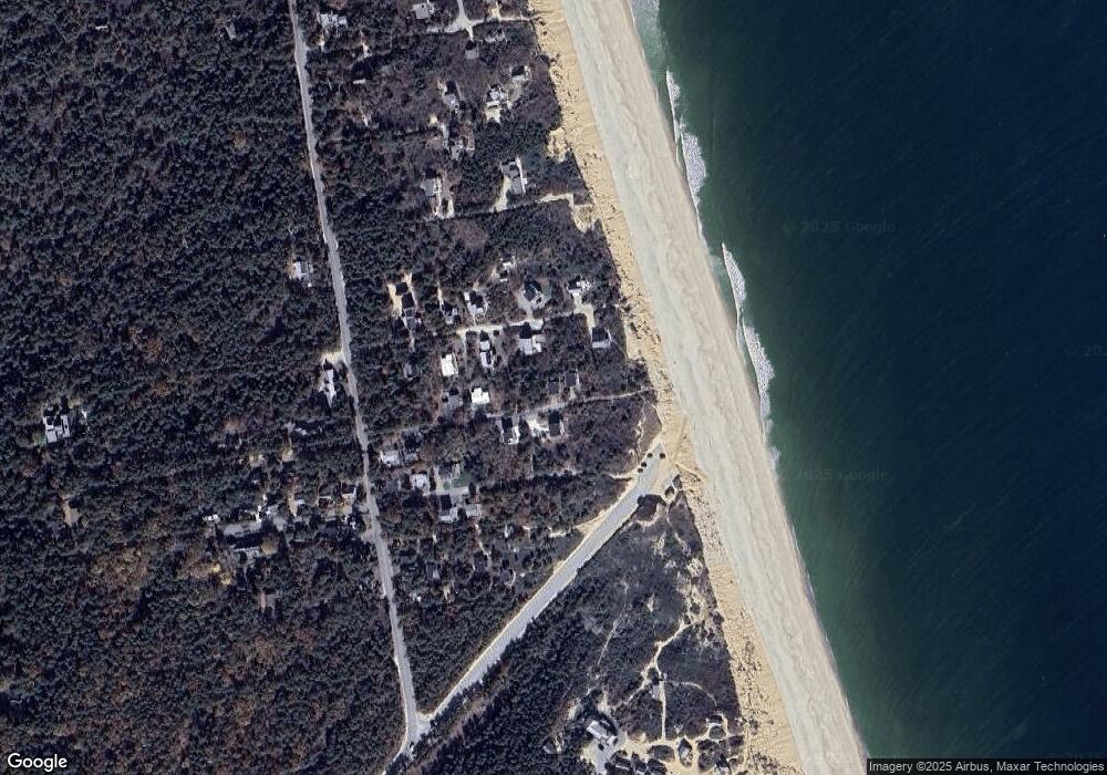
Map
Nearby Homes
- 85 Rockwell Ave
- 175 Cliff Rd
- 165 Cottontail Rd
- 88 Cottontail Rd
- 1937 State Highway Route 6 Unit E
- 1937 State Highway Route 6 Unit E
- 2032 State Hwy Rte 6 Unit F/ (6)
- 30 Sam Hollow Rd
- 100 E Hill Rd
- 105 Howard Ct
- 36 Cove Rd
- 345 Cove Rd
- 205 Blue Heron Rd
- 79 King Phillip Rd
- 344 King Phillip Rd
- 30 Harbor View Cir
- 135 Marven Way
- 35 Tecumseh Rd
- 90 Ring Rd
- 135 Newcomb Hollow Rd
- 449 Nellie Rd
- 440 Nellie Rd
- 116 Rockwell Ave
- 430 Nellie Rd
- 425 Nellie Rd
- 100 Rockwell Ave
- 136 Rockwell Ave
- 90 Rockwell Ave
- 115 Rockwell Ave
- 146 Rockwell Ave
- 105 Rockwell Ave
- 85 Rockwell
- 131 Rockwell Ave
- 419 Nellie Rd
- 405 Wilson Ave
- 95 Rockwell Ave
- 475 Nellie Rd
- 80 Rockwell Ave
- 410 Wilson Ave
- 93 Ocean View Ave
Your Personal Tour Guide
Ask me questions while you tour the home.