Estimated Value: $253,000 - $322,000
3
Beds
2
Baths
1,016
Sq Ft
$291/Sq Ft
Est. Value
About This Home
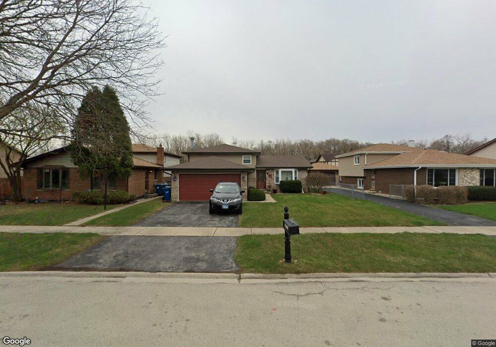
This home is located at 4413 W 129th St Unit 1, Alsip, IL 60803 and is currently estimated at $295,184, approximately $290 per square foot. 4413 W 129th St Unit 1 is a home located in Cook County with nearby schools including Nathan Hale Primary School, Nathan Hale Intermediate School, and Nathan Hale Middle School.
Ownership History
Date
Name
Owned For
Owner Type
Purchase Details
Closed on
Oct 15, 1997
Sold by
Devitto Michael J and Devitto Donna M
Bought by
Sylas Lucreda R
Current Estimated Value
Create a Home Valuation Report for This Property
The Home Valuation Report is an in-depth analysis detailing your home's value as well as a comparison with similar homes in the area
Home Values in the Area
Average Home Value in this Area
Purchase History
We collect this data history from publicly available records. To have your information removed, we recommend requesting removal directly through your county’s website.
| Date | Buyer | Sale Price | Title Company |
|---|---|---|---|
| Sylas Lucreda R | $86,666 | -- |
Source: Public Records
Tax History
| Year | Tax Paid | Tax Assessment Tax Assessment Total Assessment is a certain percentage of the fair market value that is determined by local assessors to be the total taxable value of land and additions on the property. | Land | Improvement |
|---|---|---|---|---|
| 2025 | $6,480 | $22,775 | $3,438 | $19,337 |
| 2024 | $6,480 | $22,775 | $3,438 | $19,337 |
| 2023 | $4,514 | $24,001 | $3,438 | $20,563 |
| 2022 | $4,514 | $16,533 | $2,969 | $13,564 |
| 2021 | $4,362 | $16,532 | $2,968 | $13,564 |
| 2020 | $4,426 | $16,532 | $2,968 | $13,564 |
| 2019 | $4,720 | $17,501 | $2,656 | $14,845 |
| 2018 | $5,645 | $17,501 | $2,656 | $14,845 |
| 2017 | $5,779 | $17,501 | $2,656 | $14,845 |
| 2016 | $4,949 | $14,383 | $2,187 | $12,196 |
| 2015 | $4,801 | $14,383 | $2,187 | $12,196 |
| 2014 | $4,972 | $15,108 | $2,187 | $12,921 |
| 2013 | $4,740 | $15,679 | $2,187 | $13,492 |
Source: Public Records
Map
Nearby Homes
- 12820 S Blossom Dr
- 12818 S Blossom Dr
- 12821 S Kenneth Ave Unit B3
- 12769 S Loveland St
- 12756 S Loveland St
- 4940 W 134th St Unit 403
- 4709 W 128th St
- 13401 S Kolin Ave
- 4343 W Emerald Way St
- 4211 W 135th St
- 3918 Lincoln Ln E
- 12416 S 44th Ct
- 13434 E Circle Dr Unit 404
- 12409 S 44th Ct
- 5031 Circle Dr Unit 207
- 4223 137th St
- 13300 W Circle Drive Pkwy Unit G222
- 12337 S Loveland St
- 13248 W Circle Drive Pkwy Unit 405
- 4950 134th Ct Unit 508
- 4409 W 129th St
- 4417 W 129th St
- 4421 W 129th St
- 4405 W 129th St
- 4425 W 129th St
- 4576 W 131st St Unit 2N
- 4576 W 131st St Unit 4576
- 4576 W 131st St Unit 4576
- 4576 W 131st St Unit 4576
- 4576 W 131st St Unit 4576
- 4580 W 131st St Unit 2N
- 4580 W 131st St Unit 4580
- 4580 W 131st St Unit 4580
- 4580 W 131st St Unit 4580
- 4580 W 131st St Unit 4580
- 4580 W 131st St Unit 1S
- 4580 W 131st St Unit 1N
- 4572 W 131st St Unit 4572
- 4572 W 131st St Unit 4572
- 4572 W 131st St Unit 4572
Your Personal Tour Guide
Ask me questions while you tour the home.