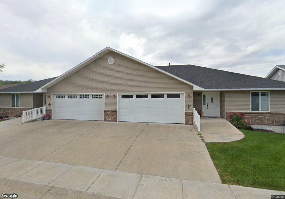
442 Gwen Loop Blackfoot, ID 83221
Estimated Value: $288,000 - $374,000
2
Beds
2
Baths
1,500
Sq Ft
$223/Sq Ft
Est. Value
About This Home
This home is located at 442 Gwen Loop, Blackfoot, ID 83221 and is currently estimated at $334,377, approximately $222 per square foot. 442 Gwen Loop is a home with nearby schools including Ridge Crest Elementary School, Blackfoot High School, and Blackfoot Charter Community Learning Center.
Ownership History
Date
Name
Owned For
Owner Type
Purchase Details
Closed on
Sep 3, 2025
Sold by
Chaffin Joanne M
Bought by
Packer Travis and Packer Lori
Current Estimated Value
Home Financials for this Owner
Home Financials are based on the most recent Mortgage that was taken out on this home.
Original Mortgage
$141,000
Outstanding Balance
$141,000
Interest Rate
6.74%
Mortgage Type
New Conventional
Estimated Equity
$193,377
Purchase Details
Closed on
Apr 16, 2009
Sold by
Murdock Kendall Ray and Murdock Katheryn Joyce
Bought by
Chaffin Joanne M
Create a Home Valuation Report for This Property
The Home Valuation Report is an in-depth analysis detailing your home's value as well as a comparison with similar homes in the area
Purchase History
| Date | Buyer | Sale Price | Title Company |
|---|---|---|---|
| Packer Travis | -- | Alliance Title & Escrow | |
| Chaffin Joanne M | -- | -- |
Source: Public Records
Mortgage History
| Date | Status | Borrower | Loan Amount |
|---|---|---|---|
| Open | Packer Travis | $141,000 |
Source: Public Records
Tax History
| Year | Tax Paid | Tax Assessment Tax Assessment Total Assessment is a certain percentage of the fair market value that is determined by local assessors to be the total taxable value of land and additions on the property. | Land | Improvement |
|---|---|---|---|---|
| 2025 | $1,659 | $300,685 | $24,585 | $276,100 |
| 2024 | $1,875 | $300,685 | $24,585 | $276,100 |
| 2023 | $2,185 | $300,685 | $24,585 | $276,100 |
| 2022 | $4,005 | $300,685 | $24,585 | $276,100 |
| 2021 | $2,106 | $189,850 | $15,000 | $174,850 |
| 2020 | $2,077 | $189,850 | $0 | $0 |
| 2019 | $2,026 | $173,400 | $0 | $0 |
| 2018 | $2,141 | $173,400 | $12,000 | $161,400 |
| 2017 | $1,887 | $161,550 | $12,000 | $149,550 |
| 2016 | $1,855 | $161,550 | $0 | $0 |
| 2015 | -- | $161,550 | $0 | $0 |
| 2014 | -- | $161,550 | $12,000 | $149,550 |
Source: Public Records
Map
Nearby Homes
- 492 Gwen Loop
- 2215 Cooper's Way
- 2050 Cruiser Loop
- 577 Ridgecrest Ave
- 507 Wooten Way
- 632 Wildrose Ln
- 513 Wooten Way
- 811 Harborside Loop
- 817 Harborside Loop
- 775 Wooten Way
- TBD U S Highway 26 Unit Lot 2
- TBD 1200 U S Highway 26
- TBD U S Highway 26 Unit Lot 7
- TBD U S Highway 26 Unit Lot 6
- 1381 E Airport Rd
- 850 Parkway Dr Unit 32
- 1565 NW Main St
- 537 N Broadway St
- 795 N Shilling Ave
- TBD E 335 N
Your Personal Tour Guide
Ask me questions while you tour the home.