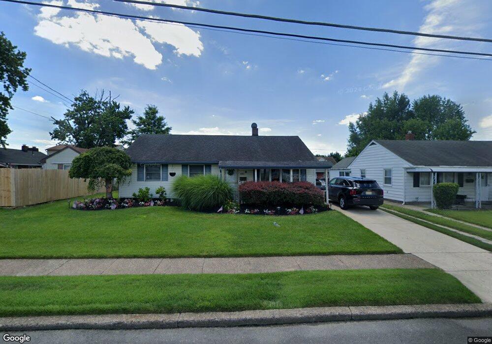
442 Wayne Rd Bellmawr, NJ 08031
Estimated Value: $285,000 - $310,000
Studio
--
Bath
1,286
Sq Ft
$233/Sq Ft
Est. Value
About This Home
This home is located at 442 Wayne Rd, Bellmawr, NJ 08031 and is currently estimated at $300,115, approximately $233 per square foot. 442 Wayne Rd is a home located in Camden County with nearby schools including Triton High School.
Create a Home Valuation Report for This Property
The Home Valuation Report is an in-depth analysis detailing your home's value as well as a comparison with similar homes in the area
Home Values in the Area
Average Home Value in this Area
Tax History
We collect this data history from publicly available records. To have your information removed, we recommend requesting removal directly through your county’s website.
| Year | Tax Paid | Tax Assessment Tax Assessment Total Assessment is a certain percentage of the fair market value that is determined by local assessors to be the total taxable value of land and additions on the property. | Land | Improvement |
|---|---|---|---|---|
| 2026 | $6,139 | $159,700 | $51,600 | $108,100 |
| 2025 | $6,139 | $159,700 | $51,600 | $108,100 |
| 2024 | $6,030 | $159,700 | $51,600 | $108,100 |
| 2023 | $6,030 | $159,700 | $51,600 | $108,100 |
| 2022 | $6,107 | $159,700 | $51,600 | $108,100 |
| 2021 | $6,227 | $159,700 | $51,600 | $108,100 |
| 2020 | $6,139 | $159,700 | $51,600 | $108,100 |
| 2019 | $6,077 | $159,700 | $51,600 | $108,100 |
| 2018 | $5,981 | $159,700 | $51,600 | $108,100 |
| 2017 | $5,911 | $159,700 | $51,600 | $108,100 |
| 2016 | $5,796 | $159,700 | $51,600 | $108,100 |
| 2015 | $5,684 | $159,700 | $51,600 | $108,100 |
| 2014 | $5,518 | $159,700 | $51,600 | $108,100 |
Source: Public Records
Map
Nearby Homes
- 444 Colonial Rd
- 121 Dobbs Ave
- 120 Dobbs Ave
- 124 Dobbs Ave
- 133 Dobbs Ave
- 144 Dobbs Ave
- 38 Belmont Rd
- 54 Princeton Ave
- 118 Cleveland Ave
- 167 Cardinal Dr
- 125 Roosevelt Ave
- 333 Princeton Ave
- 137 Princeton Ave
- 140 Princeton Ave
- 136 Baird Ave
- 317 Union Ave
- 0 Grant Ave Unit NJCD2121114
- 209 Union Ave
- 16 Cleveland Ave
- 1209 W Kings Hwy
- 448 Colonial Rd
- 440 Colonial Rd
- 471 Flanders Rd
- 475 Flanders Rd
- 32 Midway Ln
- 452 Colonial Rd
- 443 Colonial Rd
- 439 Colonial Rd
- 447 Colonial Rd
- 467 Flanders Rd
- 451 Colonial Rd
- 36 Midway Ln
- 456 Colonial Rd
- 20 Midway Ln
- 29 Midway Ln
- 455 Colonial Rd
- 476 Flanders Rd
- 31 Midway Ln
- 463 Flanders Rd
- 40 Midway Ln
Your Personal Tour Guide
Ask me questions while you tour the home.