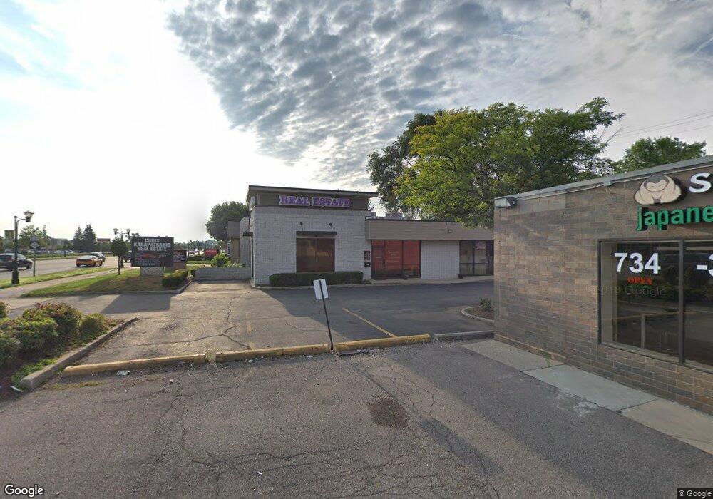
44245 Ford Rd Unit 101 Canton, MI 48187
Canton AreaEstimated Value: $561,458
About This Home
This home is located at 44245 Ford Rd Unit 101, Canton, MI 48187 and is currently estimated at $561,458, approximately $251 per square foot. 44245 Ford Rd Unit 101 is a home located in Wayne County with nearby schools including Canton High School, Discovery Middle School, and Salem High School.
Ownership History
We collect this data history from publicly available records. To have your information removed, we recommend requesting removal directly through your county’s website.
Purchase Details
Purchase Details
Home Values in the Area
Average Home Value in this Area
Purchase History
We collect this data history from publicly available records. To have your information removed, we recommend requesting removal directly through your county’s website.
| Date | Buyer | Sale Price | Title Company |
|---|---|---|---|
| $250,000 | First Centennial Title Agenc | ||
| -- | None Available |
Tax History
We collect this data history from publicly available records. To have your information removed, we recommend requesting removal directly through your county’s website.
| Year | Tax Paid | Tax Assessment Tax Assessment Total Assessment is a certain percentage of the fair market value that is determined by local assessors to be the total taxable value of land and additions on the property. | Land | Improvement |
|---|---|---|---|---|
| 2025 | $5,576 | $191,400 | $0 | $0 |
| 2024 | $5,413 | $181,800 | $0 | $0 |
| 2023 | $3,125 | $175,700 | $0 | $0 |
| 2022 | $7,890 | $162,800 | $0 | $0 |
| 2021 | $7,650 | $157,200 | $0 | $0 |
| 2020 | $7,555 | $155,500 | $0 | $0 |
| 2019 | $7,415 | $155,960 | $0 | $0 |
| 2018 | $4,439 | $148,380 | $0 | $0 |
| 2017 | $5,025 | $144,500 | $0 | $0 |
| 2016 | $6,814 | $137,100 | $0 | $0 |
| 2015 | $12,003 | $120,030 | $0 | $0 |
| 2013 | $12,520 | $128,610 | $0 | $0 |
| 2010 | -- | $132,720 | $45,738 | $86,982 |
Map
- 0000 Marlowe Blvd Marlowe Blvd
- 2037 E Franklin Dr Unit 51
- 44467 Savery Dr Unit 117
- 1822 N Sheldon Rd
- 2041 W Franklin Dr Unit 48
- 6121 Braemore Ct
- 58560 Stuart Dr
- 1660 N Sheldon Rd
- 1567 Marlowe St
- 43729 Fleetwood Dr
- 43694 Emrick Dr
- 44220 Saltz Rd
- 44100 Somerset Square
- 44442 Cape Cod Way
- 45125 Horseshoe Cir Unit 52
- 1129 Whittier Dr
- 49772 Shoreline Dr
- LOT 27 Maben
- LOT 26 Maben
- 835 Coldrose Way
- 2189 Brookline St
- 2065 Brookline St
- 0 Maben Rd
- 2053 Brookline St
- 44205 Ford Rd
- 2132 N Sheldon Rd
- 44245 Ford Rd
- 2078 N Sheldon Rd
- 2029 Brookline St
- 2066 N Sheldon Rd
- 2088 Brookline St
- Brookline St Unit 4910287
- Brookline St
- 2048 N Sheldon Rd
- 2017 Brookline St
- V/L Brookline
- 2046 Brookline St
- 1993 Brookline St
- 2040 N Sheldon Rd
- 2028 Brookline St
Ask me questions while you tour the home.