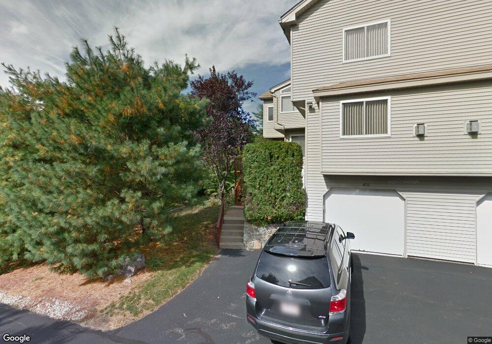
443 Captain Eames Cir Ashland, MA 01721
Estimated Value: $634,000 - $671,000
About This Home
This home is located at 443 Captain Eames Cir, Ashland, MA 01721 and is currently estimated at $650,463, approximately $309 per square foot. 443 Captain Eames Cir is a home located in Middlesex County with nearby schools including William Pittaway Elementary School, Henry E. Warren Elementary School, and David Mindess Elementary School.
Ownership History
We collect this data history from publicly available records. To have your information removed, we recommend requesting removal directly through your county’s website.
Purchase Details
Purchase Details
Home Values in the Area
Average Home Value in this Area
Purchase History
We collect this data history from publicly available records. To have your information removed, we recommend requesting removal directly through your county’s website.
| Date | Buyer | Sale Price | Title Company |
|---|---|---|---|
| -- | -- | ||
| $322,000 | -- |
Tax History
We collect this data history from publicly available records. To have your information removed, we recommend requesting removal directly through your county’s website.
| Year | Tax Paid | Tax Assessment Tax Assessment Total Assessment is a certain percentage of the fair market value that is determined by local assessors to be the total taxable value of land and additions on the property. | Land | Improvement |
|---|---|---|---|---|
| 2025 | $7,352 | $575,700 | $0 | $575,700 |
| 2024 | $7,188 | $542,900 | $0 | $542,900 |
| 2023 | $6,458 | $469,000 | $0 | $469,000 |
| 2022 | $6,633 | $417,700 | $0 | $417,700 |
| 2021 | $6,360 | $399,229 | $0 | $399,229 |
| 2020 | $6,286 | $389,000 | $0 | $389,000 |
| 2019 | $5,898 | $362,300 | $0 | $362,300 |
| 2018 | $5,642 | $339,700 | $0 | $339,700 |
| 2017 | $5,331 | $319,200 | $0 | $319,200 |
| 2016 | $5,182 | $304,800 | $0 | $304,800 |
| 2015 | $5,237 | $302,738 | $0 | $302,738 |
| 2014 | $5,264 | $302,700 | $0 | $302,700 |
Map
- 325 Captain Eames Cir
- 22 Algonquin Trail Unit 22
- 262 Captain Eames Cir
- 254 Captain Eames Cir
- 192 Captain Eames Cir Unit 192
- 156 Algonquin Trail
- 8 Blue Jay Ln
- 73 Half Crown Cir
- 81 Arrowhead Cir
- 244 Algonquin Trail
- 33 Half Crown Cir Unit 33
- 33 Brimstone Way
- 25 Nickerson Rd
- 185 America Blvd
- 31 America Blvd Unit 31
- 131 America Blvd Unit 131
- 387 America Blvd
- 354 America Blvd Unit 354
- 439 America Blvd Unit 439
- 431 America Blvd Unit 431
- 417 Captain Eames Cir
- 445 Captain Eames Cir
- 425 Captain Eames Cir
- 447 Captain Eames Cir
- 411 Captain Eames Cir
- 381 Captain Eames Cir
- 411 Captain Eames Cir
- 411 Captain Eames Cir Unit 411
- 391 Captain Eames Cir
- 421 Captain Eames Cir
- 419 Captain Eames Cir
- 389 Captain Eames Cir
- 389 Captain Eames Cir Unit 389
- 421 Captain Eames Cir Unit 421
- 467 Captain Eames Cir
- 451 Captain Eames Cir
- 451 Captain Eames Cir Unit 451
- 451 Captain Eames Cir Unit 29
- 427 Captain Eames Cir
- 393 Captain Eames Cir
Ask me questions while you tour the home.