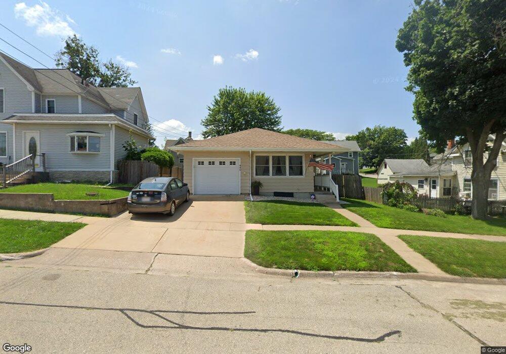
444 N Monroe St Lancaster, WI 53813
Estimated Value: $165,000 - $211,000
About This Home
This home is located at 444 N Monroe St, Lancaster, WI 53813 and is currently estimated at $183,966, approximately $162 per square foot. 444 N Monroe St is a home located in Grant County with nearby schools including Winskill Elementary School, Lancaster Middle School, and Lancaster High School.
Ownership History
We collect this data history from publicly available records. To have your information removed, we recommend requesting removal directly through your county’s website.
Purchase Details
Home Financials for this Owner
Home Financials are based on the most recent Mortgage that was taken out on this home.Home Values in the Area
Average Home Value in this Area
Purchase History
We collect this data history from publicly available records. To have your information removed, we recommend requesting removal directly through your county’s website.
| Date | Buyer | Sale Price | Title Company |
|---|---|---|---|
| $96,300 | None Available |
Mortgage History
We collect this data history from publicly available records. To have your information removed, we recommend requesting removal directly through your county’s website.
| Date | Status | Borrower | Loan Amount |
|---|---|---|---|
| Open | $100,000 |
Tax History
We collect this data history from publicly available records. To have your information removed, we recommend requesting removal directly through your county’s website.
| Year | Tax Paid | Tax Assessment Tax Assessment Total Assessment is a certain percentage of the fair market value that is determined by local assessors to be the total taxable value of land and additions on the property. | Land | Improvement |
|---|---|---|---|---|
| 2025 | $2,416 | $153,900 | $12,900 | $141,000 |
| 2024 | $2,190 | $153,900 | $12,900 | $141,000 |
| 2023 | $2,094 | $153,900 | $12,900 | $141,000 |
| 2022 | $2,004 | $153,900 | $12,900 | $141,000 |
| 2021 | $1,577 | $89,800 | $8,600 | $81,200 |
| 2020 | $1,605 | $89,800 | $8,600 | $81,200 |
| 2019 | $1,668 | $89,800 | $860 | $8,120 |
| 2018 | $1,701 | $89,800 | $8,600 | $81,200 |
| 2017 | $1,639 | $89,800 | $8,600 | $81,200 |
| 2016 | $1,615 | $89,800 | $8,600 | $81,200 |
| 2015 | $1,680 | $89,800 | $8,600 | $81,200 |
| 2014 | $1,697 | $89,800 | $8,600 | $81,200 |
| 2013 | $1,706 | $89,800 | $8,600 | $81,200 |
Map
- 307 N Monroe St
- 229 N Monroe St
- 206 N Adams St
- 217 W Cherry St
- 117 N Lincoln St
- 350 S Taylor St
- 1500 S Madison St
- 631 S Tyler St
- 901 S Madison St
- 2.28 acres E Lincoln Ave
- 9397 S Mckinley St
- 201 Roosevelt St
- 229.98± Acres Whitcomb Ln
- Whitcomb Ln
- 11454 Liberty Ridge Rd
- Lot 15 Porter Bridge Rd
- 7469 Grant River Rd
- 1380 13th St
- 1260 Madison St
- 1440 7th St
- 432 N Monroe St
- 450 N Monroe St
- 443 N Madison St
- 455 N Madison St
- 132 E Pine St
- 132 E Pine St
- 122 E Pine St
- 441 N Monroe St
- 203 E Linden St
- 423 N Monroe St
- 110 E Pine St
- 511 N Madison St
- 206 E Pine St
- 206 E Linden St
- 430 N Adams St
- 218 E Linden St
- 456 N Adams St
- 408 N Adams St
- 351 N Madison St
- 530 N Monroe St
Ask me questions while you tour the home.