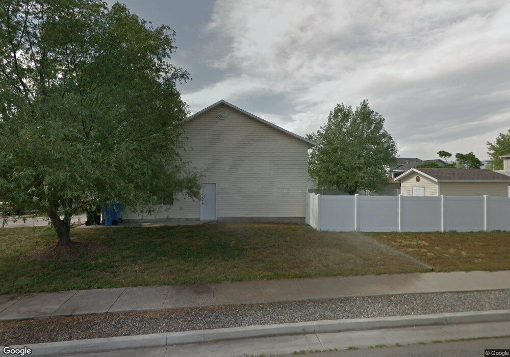
444 S 1060 W Logan, UT 84321
Woodruff NeighborhoodEstimated Value: $339,334 - $383,000
Studio
--
Bath
882
Sq Ft
$414/Sq Ft
Est. Value
About This Home
This home is located at 444 S 1060 W, Logan, UT 84321 and is currently estimated at $365,334, approximately $414 per square foot. 444 S 1060 W is a home with nearby schools including Woodruff School, Mount Logan Middle School, and Logan High School.
Ownership History
Date
Name
Owned For
Owner Type
Purchase Details
Closed on
Dec 10, 2001
Sold by
Merrill George C and Merrill Monica
Bought by
Merrill George C and Merrill Monica
Current Estimated Value
Home Financials for this Owner
Home Financials are based on the most recent Mortgage that was taken out on this home.
Original Mortgage
$112,000
Interest Rate
6.37%
Create a Home Valuation Report for This Property
The Home Valuation Report is an in-depth analysis detailing your home's value as well as a comparison with similar homes in the area
Home Values in the Area
Average Home Value in this Area
Purchase History
We collect this data history from publicly available records. To have your information removed, we recommend requesting removal directly through your county’s website.
| Date | Buyer | Sale Price | Title Company |
|---|---|---|---|
| Merrill George C | -- | -- |
Source: Public Records
Mortgage History
We collect this data history from publicly available records. To have your information removed, we recommend requesting removal directly through your county’s website.
| Date | Status | Borrower | Loan Amount |
|---|---|---|---|
| Closed | Merrill George C | $112,000 |
Source: Public Records
Tax History
| Year | Tax Paid | Tax Assessment Tax Assessment Total Assessment is a certain percentage of the fair market value that is determined by local assessors to be the total taxable value of land and additions on the property. | Land | Improvement |
|---|---|---|---|---|
| 2025 | $1,508 | $195,055 | $0 | $0 |
| 2024 | $155 | $193,925 | $0 | $0 |
| 2023 | $1,601 | $191,215 | $0 | $0 |
| 2022 | $1,384 | $154,360 | $0 | $0 |
| 2021 | $1,351 | $232,730 | $41,000 | $191,730 |
| 2020 | $1,213 | $188,120 | $41,000 | $147,120 |
| 2019 | $1,268 | $188,119 | $41,000 | $147,119 |
| 2018 | $1,247 | $168,930 | $41,000 | $127,930 |
| 2017 | $1,170 | $83,765 | $0 | $0 |
| 2016 | $1,213 | $83,765 | $0 | $0 |
| 2015 | $1,132 | $78,100 | $0 | $0 |
| 2014 | $1,023 | $78,100 | $0 | $0 |
| 2013 | -- | $78,100 | $0 | $0 |
Source: Public Records
Map
Nearby Homes
- 402 S 1060 W
- 1099 Three Pointe Ave
- 959 Three Pointe Ave
- 1163 W 400 S
- 370 S 1200 W Unit 2
- 952 W 330 S
- 1400 S 940 W
- 869 Three Pointe Ave
- 1213 W 500 S
- 850 W 370 S
- 1174 W 240 S
- 1225 W 500 S
- 1204 W 575 S
- 1210 W 575 S Unit 163
- 251 Rosewood Cir
- 1230 W 240 S
- 1312 W 350 S
- 1262 W 500 S
- 1264 W 500 S Unit 320
- 1269 W 500 S
- 443 Oakwood Dr
- 425 Oakwood Dr
- 428 S 1060 W
- 405 Oakwood Dr
- 398 S 1060 W
- 432 Oak Place
- 1022 W Three Point Ave
- 465 Oakwood Dr Unit 62
- 1023 Three Point Ave
- 424 Oak Place
- 459 Oakwood Dr
- 1065 W 400 S Unit 55
- 1076 W 400 S
- 465 Oakwood Ct
- 458 Oakbrook Cir Unit 27
- 458 Oakbrook Cir
- 445 S 1060 W Unit 29
- 445 S 1060 W
- 1022 Three Point Ave
- 1087 W 400 S
Your Personal Tour Guide
Ask me questions while you tour the home.