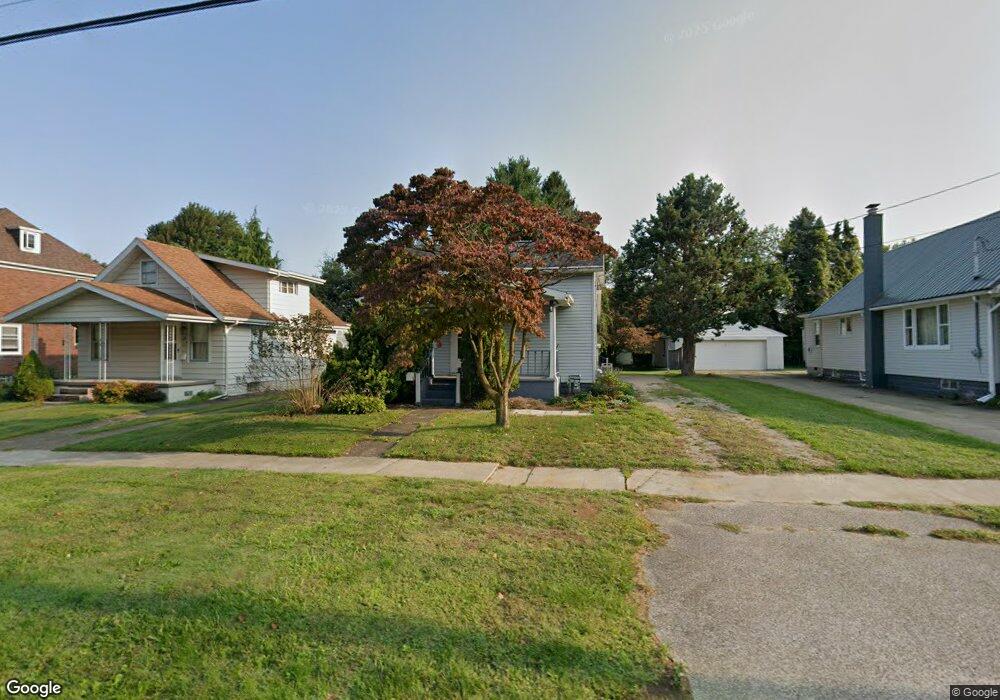
448 16th St Conneaut, OH 44030
Estimated Value: $68,000 - $106,906
2
Beds
1
Bath
1,001
Sq Ft
$91/Sq Ft
Est. Value
About This Home
This home is located at 448 16th St, Conneaut, OH 44030 and is currently estimated at $90,977, approximately $90 per square foot. 448 16th St is a home located in Ashtabula County with nearby schools including Lakeshore Primary Elementary School, Gateway Elementary School, and Conneaut Middle School.
Ownership History
Date
Name
Owned For
Owner Type
Purchase Details
Closed on
Jun 15, 2018
Sold by
Miller Earl G
Bought by
Furst Paula L and Furst Kent C
Current Estimated Value
Purchase Details
Closed on
Jul 28, 2005
Sold by
Garstenshlager Sandra E
Bought by
Miller Earl G and Miller Marcia G
Home Financials for this Owner
Home Financials are based on the most recent Mortgage that was taken out on this home.
Original Mortgage
$71,379
Interest Rate
5.74%
Mortgage Type
FHA
Purchase Details
Closed on
Nov 1, 2000
Sold by
Hoyt Kathleen
Bought by
Garstenshlager Sandra E
Create a Home Valuation Report for This Property
The Home Valuation Report is an in-depth analysis detailing your home's value as well as a comparison with similar homes in the area
Home Values in the Area
Average Home Value in this Area
Purchase History
We collect this data history from publicly available records. To have your information removed, we recommend requesting removal directly through your county’s website.
| Date | Buyer | Sale Price | Title Company |
|---|---|---|---|
| Furst Paula L | $37,500 | None Available | |
| Miller Earl G | $125,000 | Real Living Title Agency Ltd | |
| Garstenshlager Sandra E | $73,000 | -- |
Source: Public Records
Mortgage History
We collect this data history from publicly available records. To have your information removed, we recommend requesting removal directly through your county’s website.
| Date | Status | Borrower | Loan Amount |
|---|---|---|---|
| Previous Owner | Miller Earl G | $71,379 |
Source: Public Records
Tax History
| Year | Tax Paid | Tax Assessment Tax Assessment Total Assessment is a certain percentage of the fair market value that is determined by local assessors to be the total taxable value of land and additions on the property. | Land | Improvement |
|---|---|---|---|---|
| 2025 | $1,739 | $23,940 | $3,920 | $20,020 |
| 2024 | $1,751 | $23,940 | $3,920 | $20,020 |
| 2023 | $1,115 | $23,940 | $3,920 | $20,020 |
| 2022 | $975 | $18,410 | $3,010 | $15,400 |
| 2021 | $992 | $18,410 | $3,010 | $15,400 |
| 2020 | $992 | $18,410 | $3,010 | $15,400 |
| 2019 | $1,142 | $20,860 | $3,010 | $17,850 |
| 2018 | $1,089 | $20,860 | $3,010 | $17,850 |
| 2017 | $1,031 | $20,860 | $3,010 | $17,850 |
| 2016 | $964 | $20,170 | $2,910 | $17,260 |
| 2015 | $974 | $20,170 | $2,910 | $17,260 |
| 2014 | $858 | $20,170 | $2,910 | $17,260 |
| 2013 | $1,131 | $27,380 | $2,770 | $24,610 |
Source: Public Records
Map
Nearby Homes
Your Personal Tour Guide
Ask me questions while you tour the home.