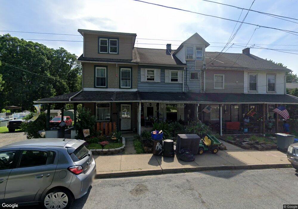
448 S 7th St Emmaus, PA 18049
Estimated Value: $235,000 - $275,000
3
Beds
2
Baths
1,194
Sq Ft
$206/Sq Ft
Est. Value
About This Home
This home is located at 448 S 7th St, Emmaus, PA 18049 and is currently estimated at $245,697, approximately $205 per square foot. 448 S 7th St is a home located in Lehigh County with nearby schools including Lincoln Elementary School, Lower Macungie Middle School, and Emmaus High School.
Ownership History
Date
Name
Owned For
Owner Type
Purchase Details
Closed on
Jul 24, 2006
Sold by
Whilhide Michael C
Bought by
Wilhide Michael C and Whilhide Traci L
Current Estimated Value
Home Financials for this Owner
Home Financials are based on the most recent Mortgage that was taken out on this home.
Original Mortgage
$72,850
Outstanding Balance
$2,713
Interest Rate
6.7%
Mortgage Type
Stand Alone Refi Refinance Of Original Loan
Estimated Equity
$242,984
Purchase Details
Closed on
May 30, 2000
Sold by
Kollar Eleanor V
Bought by
Wilhide Michael C
Purchase Details
Closed on
Sep 30, 1981
Bought by
Kollar Eleanor
Create a Home Valuation Report for This Property
The Home Valuation Report is an in-depth analysis detailing your home's value as well as a comparison with similar homes in the area
Home Values in the Area
Average Home Value in this Area
Purchase History
| Date | Buyer | Sale Price | Title Company |
|---|---|---|---|
| Wilhide Michael C | -- | None Available | |
| Wilhide Michael C | $55,000 | -- | |
| Kollar Eleanor | $25,000 | -- |
Source: Public Records
Mortgage History
| Date | Status | Borrower | Loan Amount |
|---|---|---|---|
| Open | Wilhide Michael C | $72,850 |
Source: Public Records
Tax History
| Year | Tax Paid | Tax Assessment Tax Assessment Total Assessment is a certain percentage of the fair market value that is determined by local assessors to be the total taxable value of land and additions on the property. | Land | Improvement |
|---|---|---|---|---|
| 2026 | $3,220 | $88,800 | $13,100 | $75,700 |
| 2025 | $3,128 | $88,800 | $13,100 | $75,700 |
| 2024 | $2,865 | $88,800 | $13,100 | $75,700 |
| 2023 | $2,809 | $88,800 | $13,100 | $75,700 |
| 2022 | $2,717 | $88,800 | $75,700 | $13,100 |
| 2021 | $2,649 | $88,800 | $13,100 | $75,700 |
| 2020 | $2,626 | $88,800 | $13,100 | $75,700 |
| 2019 | $2,556 | $88,800 | $13,100 | $75,700 |
| 2018 | $2,459 | $88,800 | $13,100 | $75,700 |
| 2017 | $2,384 | $88,800 | $13,100 | $75,700 |
| 2016 | -- | $88,800 | $13,100 | $75,700 |
| 2015 | -- | $88,800 | $13,100 | $75,700 |
| 2014 | -- | $88,800 | $13,100 | $75,700 |
Source: Public Records
Map
Nearby Homes
- 615-619 Fairview St
- 615 Fairview St
- 390 Fairview St Unit 390
- 122 S 4th St
- 97 Chestnut Hill Rd
- 742 Walnut St
- 630 Walnut St
- 530 Chestnut St
- 108 MacUngie Ave
- 115 MacUngie Ave
- 343 Broad St
- 543 Long St
- 42 N 4th St
- 534 Seem St Unit 540
- 4109 Eveningstar Rd
- 118-122 N 2nd St
- 118 N 2nd St
- 443 N 3rd St
- 210 S 16th St
- 4859 Vera Cruz Rd
Your Personal Tour Guide
Ask me questions while you tour the home.