Estimated Value: $57,610 - $149,000
2
Beds
1
Bath
736
Sq Ft
$159/Sq Ft
Est. Value
About This Home
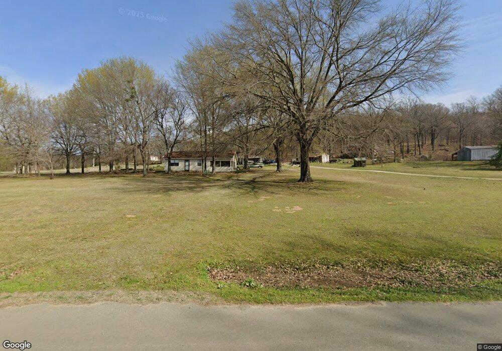
This home is located at 448823 E 1067 Rd, Vian, OK 74962 and is currently estimated at $117,153, approximately $159 per square foot. 448823 E 1067 Rd is a home located in Sequoyah County with nearby schools including Vian Elementary School, Vian Middle School, and Vian High School.
Ownership History
Date
Name
Owned For
Owner Type
Purchase Details
Closed on
Jan 17, 2018
Sold by
Two Feather Enterprises Llc
Bought by
Lynmark Enterprises Llc
Current Estimated Value
Purchase Details
Closed on
Aug 18, 2011
Sold by
Underwood Jack and Underwood Dorothy
Bought by
Two Feathers Enterprises
Purchase Details
Closed on
Jun 2, 2010
Sold by
Woodshire Rodney and Woodshire Sherry
Bought by
Woodshire Rodney and Woodshire Sherry
Create a Home Valuation Report for This Property
The Home Valuation Report is an in-depth analysis detailing your home's value as well as a comparison with similar homes in the area
Purchase History
| Date | Buyer | Sale Price | Title Company |
|---|---|---|---|
| Lynmark Enterprises Llc | -- | None Available | |
| Two Feathers Enterprises | -- | -- | |
| Woodshire Rodney | -- | None Available |
Source: Public Records
Tax History
| Year | Tax Paid | Tax Assessment Tax Assessment Total Assessment is a certain percentage of the fair market value that is determined by local assessors to be the total taxable value of land and additions on the property. | Land | Improvement |
|---|---|---|---|---|
| 2025 | $302 | $3,105 | $693 | $2,412 |
| 2024 | $302 | $2,957 | $660 | $2,297 |
| 2023 | $284 | $2,816 | $660 | $2,156 |
| 2022 | $273 | $2,816 | $660 | $2,156 |
| 2021 | $270 | $2,816 | $660 | $2,156 |
| 2020 | $280 | $2,816 | $660 | $2,156 |
| 2019 | $286 | $2,860 | $660 | $2,200 |
| 2018 | $262 | $2,904 | $660 | $2,244 |
| 2017 | $269 | $2,954 | $660 | $2,294 |
| 2016 | $279 | $3,053 | $660 | $2,393 |
| 2015 | $289 | $3,141 | $660 | $2,481 |
| 2014 | $296 | $3,185 | $660 | $2,525 |
Source: Public Records
Map
Nearby Homes
- 447008 E 1058 Rd
- 613 S Rodgers St
- 503 Bonham St
- 108 S Thornton St
- 403 S Rodgers St
- 802 Schley St
- TBD E 1055 Rd
- 605 Main St
- 0 N445
- 304 Blackstone St
- 300 Blackstone St
- 0 1030 Rd Unit 2546326
- 000 Schley St
- 0 U S Highway 64
- 449272 E 982 Rd
- 0 Hwy 64 Hwy Unit 2600559
- 510 S Mill St
- 505 Avalon Dr
- 510 Beverly Ave
- 448159 E 979 Rd
Your Personal Tour Guide
Ask me questions while you tour the home.