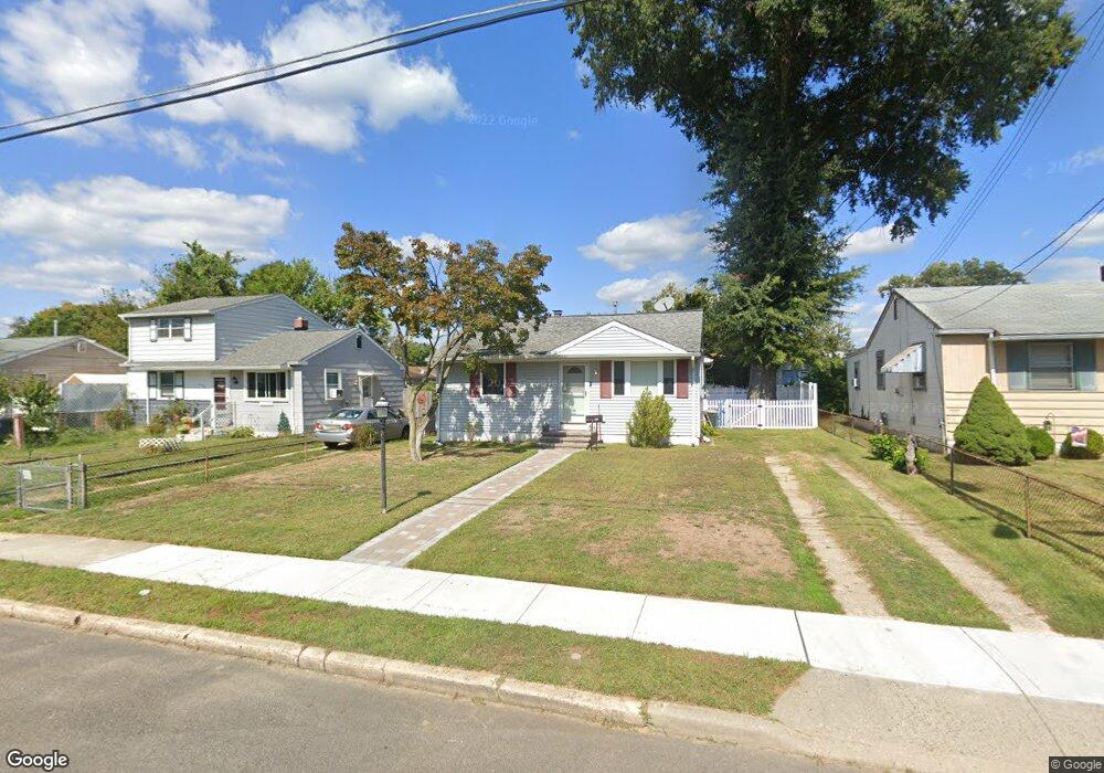
449 10th Ave Lindenwold, NJ 08021
Estimated Value: $236,000 - $260,353
About This Home
This home is located at 449 10th Ave, Lindenwold, NJ 08021 and is currently estimated at $249,088, approximately $244 per square foot. 449 10th Ave is a home located in Camden County with nearby schools including Lindenwold High School, Saint John Paul II Regional School, and South Jersey Sudbury School.
Ownership History
We collect this data history from publicly available records. To have your information removed, we recommend requesting removal directly through your county’s website.
Purchase Details
Home Financials for this Owner
Home Financials are based on the most recent Mortgage that was taken out on this home.Home Values in the Area
Average Home Value in this Area
Purchase History
We collect this data history from publicly available records. To have your information removed, we recommend requesting removal directly through your county’s website.
| Date | Buyer | Sale Price | Title Company |
|---|---|---|---|
| $150,000 | -- |
Mortgage History
We collect this data history from publicly available records. To have your information removed, we recommend requesting removal directly through your county’s website.
| Date | Status | Borrower | Loan Amount |
|---|---|---|---|
| Open | $120,000 |
Tax History
We collect this data history from publicly available records. To have your information removed, we recommend requesting removal directly through your county’s website.
| Year | Tax Paid | Tax Assessment Tax Assessment Total Assessment is a certain percentage of the fair market value that is determined by local assessors to be the total taxable value of land and additions on the property. | Land | Improvement |
|---|---|---|---|---|
| 2025 | $5,563 | $111,900 | $35,000 | $76,900 |
| 2024 | $5,564 | $111,900 | $35,000 | $76,900 |
| 2023 | $5,564 | $111,900 | $35,000 | $76,900 |
| 2022 | $5,558 | $111,900 | $35,000 | $76,900 |
| 2021 | $5,711 | $111,900 | $35,000 | $76,900 |
| 2020 | $5,678 | $111,900 | $35,000 | $76,900 |
| 2019 | $5,728 | $111,900 | $35,000 | $76,900 |
| 2018 | $5,714 | $111,900 | $35,000 | $76,900 |
| 2017 | $5,542 | $111,900 | $35,000 | $76,900 |
| 2016 | $5,418 | $111,900 | $35,000 | $76,900 |
| 2015 | $5,190 | $111,900 | $35,000 | $76,900 |
| 2014 | $4,964 | $111,900 | $35,000 | $76,900 |
Map
- 1100 Scott Ave
- 57 Dover Dr
- 2004 Greenwood Dr
- 18 Chiswick Dr Unit CU01
- 2005 Greenwood Dr
- 2707 Greenwood Dr
- 2303 Greenwood Dr
- 1910 Greenwood Dr
- 1802 Greenwood Dr
- 2208 Greenwood Dr
- 2209 Greenwood Dr
- 17 Joel Ct
- 11 Dover Dr
- 1 Georgetown Rd
- 649 6th Ave
- 1604 Timber Creek
- 407 Mason Run
- 195 Chews Landing Rd
- 208 Timber Creek Rd
- 705 Mason Run
Ask me questions while you tour the home.