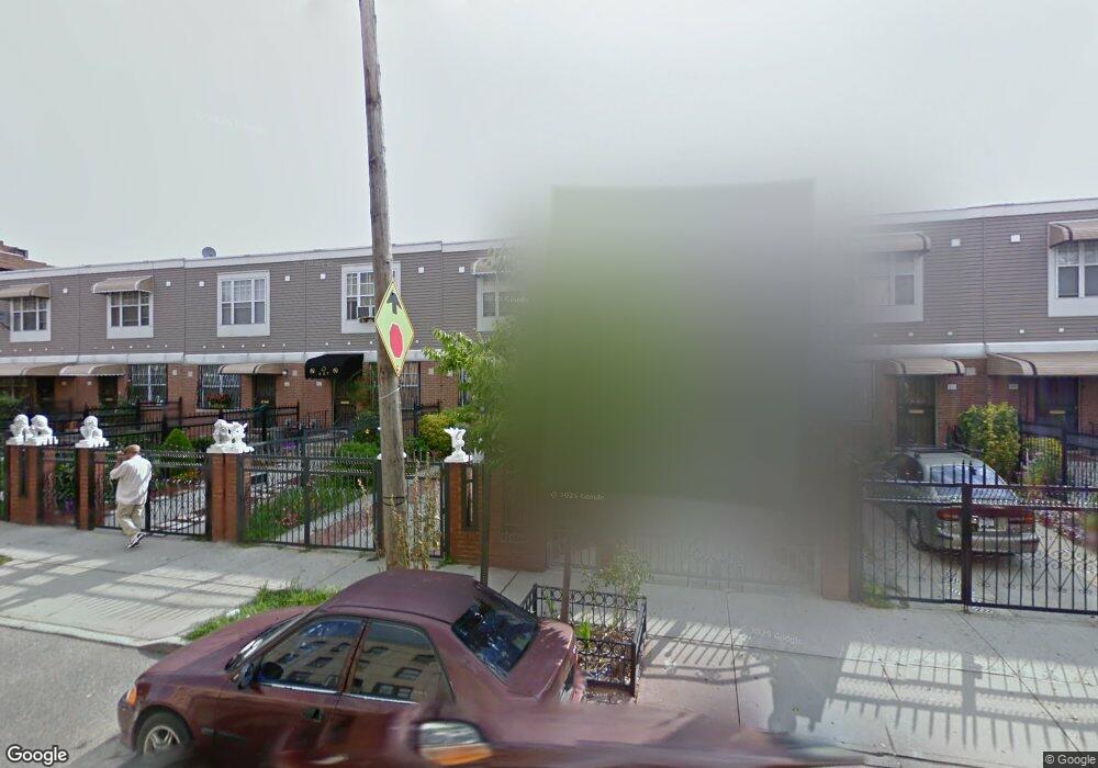
449 Georgia Ave Brooklyn, NY 11207
Brownsville NeighborhoodEstimated Value: $568,310 - $716,000
Studio
--
Bath
1,296
Sq Ft
$506/Sq Ft
Est. Value
About This Home
This home is located at 449 Georgia Ave, Brooklyn, NY 11207 and is currently estimated at $655,828, approximately $506 per square foot. 449 Georgia Ave is a home located in Kings County with nearby schools including Brooklyn Gardens Elementary School, J.H.S 292 Margaret S. Douglas, and Hyde Leadership Charter School-Brooklyn.
Ownership History
Date
Name
Owned For
Owner Type
Purchase Details
Closed on
Sep 28, 1999
Sold by
Nehemiah Housing Development Fund Co Inc
Bought by
Cort Rita E
Current Estimated Value
Home Financials for this Owner
Home Financials are based on the most recent Mortgage that was taken out on this home.
Original Mortgage
$69,000
Interest Rate
7.81%
Create a Home Valuation Report for This Property
The Home Valuation Report is an in-depth analysis detailing your home's value as well as a comparison with similar homes in the area
Home Values in the Area
Average Home Value in this Area
Purchase History
| Date | Buyer | Sale Price | Title Company |
|---|---|---|---|
| Cort Rita E | $94,000 | First American Title Ins Co |
Source: Public Records
Mortgage History
| Date | Status | Borrower | Loan Amount |
|---|---|---|---|
| Previous Owner | Cort Rita E | $69,000 | |
| Closed | Cort Rita E | $20,000 |
Source: Public Records
Tax History
| Year | Tax Paid | Tax Assessment Tax Assessment Total Assessment is a certain percentage of the fair market value that is determined by local assessors to be the total taxable value of land and additions on the property. | Land | Improvement |
|---|---|---|---|---|
| 2025 | $4,205 | $36,780 | $11,460 | $25,320 |
| 2024 | $4,205 | $37,680 | $11,460 | $26,220 |
| 2023 | $1,984 | $36,060 | $11,460 | $24,600 |
| 2022 | $1,926 | $29,520 | $11,460 | $18,060 |
| 2021 | $4,105 | $31,740 | $11,460 | $20,280 |
| 2019 | $3,601 | $25,200 | $11,460 | $13,740 |
| 2018 | $3,263 | $18,613 | $7,153 | $11,460 |
| 2017 | $3,000 | $18,472 | $7,035 | $11,437 |
| 2016 | $2,488 | $17,427 | $5,990 | $11,437 |
| 2015 | $789 | $16,441 | $5,004 | $11,437 |
| 2014 | $789 | $15,511 | $4,074 | $11,437 |
Source: Public Records
Map
Nearby Homes
- 525 Alabama Ave
- 359 Sheffield Ave
- 460 Hinsdale St
- 446 New Jersey Ave
- 444 New Jersey Ave
- 353 Pennsylvania Ave
- 644 Vermont St
- 596 Wyona St
- 578 Williams Ave
- 582 Williams Ave
- 662 Riverdale Ave
- 439 Vermont St
- 533 Snediker Ave
- 317 Pennsylvania Ave
- 606 Alabama Ave
- 392 New Jersey Ave Unit 3921
- 610 Alabama Ave
- 412 Bradford St
- 472 Sutter Ave
- 543 Miller Ave
- 451 Georgia Ave
- 447 Georgia Ave
- 453 Georgia Ave
- 445 Georgia Ave
- 443 Georgia Ave
- 455 Georgia Ave
- 441 Georgia Ave
- 457 Georgia Ave
- 459 Georgia Ave
- 439 Georgia Ave
- 462 Sheffield Ave
- 460 Sheffield Ave
- 464 Sheffield Ave
- 466 Sheffield Ave
- 458 Sheffield Ave
- 461 Georgia Ave
- 437 Georgia Ave Unit 439
- 437-439 Georgia Ave
- 468 Sheffield Ave
- 454 Sheffield Ave
Your Personal Tour Guide
Ask me questions while you tour the home.