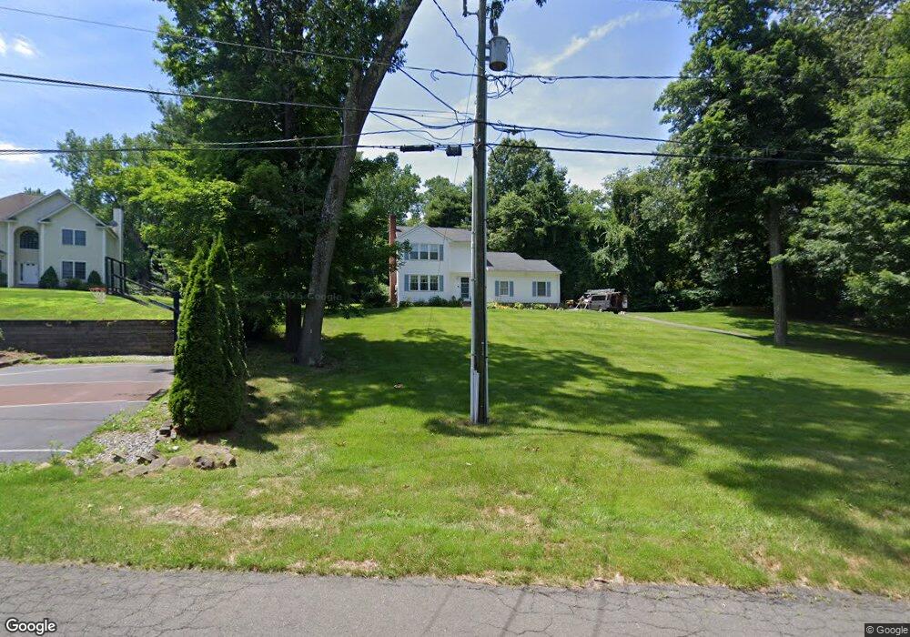
449 Tunxis Ave Bloomfield, CT 06002
Estimated Value: $377,000 - $398,947
3
Beds
3
Baths
1,778
Sq Ft
$218/Sq Ft
Est. Value
About This Home
This home is located at 449 Tunxis Ave, Bloomfield, CT 06002 and is currently estimated at $387,737, approximately $218 per square foot. 449 Tunxis Ave is a home located in Hartford County with nearby schools including Laurel School, Metacomet School, and Carmen Arace Intermediate School.
Ownership History
Date
Name
Owned For
Owner Type
Purchase Details
Closed on
Nov 24, 2021
Sold by
Haase Laura
Bought by
Laura E Haase T E and Laura Haase
Current Estimated Value
Purchase Details
Closed on
Aug 14, 2007
Sold by
Leslie Carlton and Leslie Priscilla
Bought by
Hasse Laura
Purchase Details
Closed on
Oct 31, 2000
Sold by
Pachucki Debra
Bought by
Leslie Carlton and Leslie Priscilla
Create a Home Valuation Report for This Property
The Home Valuation Report is an in-depth analysis detailing your home's value as well as a comparison with similar homes in the area
Home Values in the Area
Average Home Value in this Area
Purchase History
| Date | Buyer | Sale Price | Title Company |
|---|---|---|---|
| Laura E Haase T E | -- | None Available | |
| Laura E Haase T E | -- | None Available | |
| Hasse Laura | $226,000 | -- | |
| Hasse Laura | $226,000 | -- | |
| Leslie Carlton | $169,500 | -- | |
| Leslie Carlton | $169,500 | -- |
Source: Public Records
Mortgage History
| Date | Status | Borrower | Loan Amount |
|---|---|---|---|
| Previous Owner | Leslie Carlton | $139,479 | |
| Previous Owner | Leslie Carlton | $14,000 |
Source: Public Records
Tax History
| Year | Tax Paid | Tax Assessment Tax Assessment Total Assessment is a certain percentage of the fair market value that is determined by local assessors to be the total taxable value of land and additions on the property. | Land | Improvement |
|---|---|---|---|---|
| 2025 | $8,450 | $225,330 | $53,130 | $172,200 |
| 2024 | $5,958 | $151,830 | $44,730 | $107,100 |
| 2023 | $5,850 | $151,830 | $44,730 | $107,100 |
| 2022 | $5,470 | $151,830 | $44,730 | $107,100 |
| 2021 | $5,592 | $151,830 | $44,730 | $107,100 |
| 2020 | $5,505 | $151,830 | $44,730 | $107,100 |
| 2019 | $5,826 | $150,710 | $44,730 | $105,980 |
| 2018 | $5,880 | $152,250 | $46,410 | $105,840 |
| 2017 | $5,871 | $152,250 | $46,410 | $105,840 |
| 2016 | $5,732 | $152,250 | $46,410 | $105,840 |
| 2015 | $5,626 | $152,250 | $46,410 | $105,840 |
| 2014 | $5,807 | $162,470 | $45,500 | $116,970 |
Source: Public Records
Map
Nearby Homes
- 68 Tariffville Rd
- 25 Nutmeg Rd
- 26 Melody Ln
- 3 Bonnieview Dr
- 857 Stone Rd
- 25 Mountain Rd
- 823 Stone Rd
- 12 Lewis St
- 19 Chelsea Ln Unit 19
- 39 Loren Cir
- 24 Hunting Ridge Dr
- 406 Tunxis Ave
- 49 Seymour Rd
- 10 Eastfield Farms Dr
- 3-1 S Main St
- 999 Stone Rd
- 100 Cambridge Ct
- 59 Cambridge Ct
- 79 Cambridge Ct
- 31 Woodduck Farms Rd
Your Personal Tour Guide
Ask me questions while you tour the home.