Estimated Value: $338,000 - $607,000
2
Beds
3
Baths
2,468
Sq Ft
$183/Sq Ft
Est. Value
About This Home
This home is located at 449605 E 1042 Rd, Vian, OK 74962 and is currently estimated at $452,312, approximately $183 per square foot. 449605 E 1042 Rd is a home with nearby schools including Gore Upper Elementary School and Gore High School.
Ownership History
Date
Name
Owned For
Owner Type
Purchase Details
Closed on
Dec 8, 2020
Sold by
Teehee Johnny and Teehee Kimberly
Bought by
Winans Lance and Winans Melissa
Current Estimated Value
Home Financials for this Owner
Home Financials are based on the most recent Mortgage that was taken out on this home.
Original Mortgage
$242,526
Outstanding Balance
$213,337
Interest Rate
2.8%
Mortgage Type
FHA
Estimated Equity
$238,975
Purchase Details
Closed on
Dec 19, 2016
Sold by
Miller Clark
Bought by
Teehee Johnny
Create a Home Valuation Report for This Property
The Home Valuation Report is an in-depth analysis detailing your home's value as well as a comparison with similar homes in the area
Purchase History
| Date | Buyer | Sale Price | Title Company |
|---|---|---|---|
| Winans Lance | $247,000 | Valley Land Title Company | |
| Teehee Johnny | $10,000 | None Available |
Source: Public Records
Mortgage History
| Date | Status | Borrower | Loan Amount |
|---|---|---|---|
| Open | Winans Lance | $242,526 |
Source: Public Records
Tax History
| Year | Tax Paid | Tax Assessment Tax Assessment Total Assessment is a certain percentage of the fair market value that is determined by local assessors to be the total taxable value of land and additions on the property. | Land | Improvement |
|---|---|---|---|---|
| 2025 | $2,691 | $28,825 | $3,823 | $25,002 |
| 2024 | $2,691 | $27,986 | $3,712 | $24,274 |
| 2023 | $2,623 | $27,170 | $3,685 | $23,485 |
| 2022 | $2,429 | $27,170 | $3,685 | $23,485 |
| 2021 | $2,425 | $27,170 | $3,685 | $23,485 |
| 2020 | $2,115 | $22,873 | $1,879 | $20,994 |
| 2019 | $2,092 | $22,207 | $1,213 | $20,994 |
| 2018 | $113 | $1,155 | $1,155 | $0 |
| 2017 | $109 | $1,100 | $1,100 | $0 |
Source: Public Records
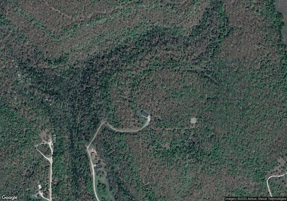
Map
Nearby Homes
- 802 Schley St
- 503 Bonham St
- 605 Main St
- 403 S Rodgers St
- 613 S Rodgers St
- 304 Blackstone St
- 300 Blackstone St
- TBD State Highway 82
- 000 Schley St
- 108 S Thornton St
- 100 E Thompson
- 448159 E 979 Rd
- 0 U S Highway 64
- 457848 E 1013 Rd
- 450770 E 960 Rd
- 449272 E 982 Rd
- 510 S Mill St
- 505 Avalon Dr
- TBD E 1055 Rd
- 510 Beverly Ave
- 449598 E 1042 Rd
- 449584 E 964 Rd
- 449327 Highway 64 Unit U
- 450102 Highway 64
- 450199 Highway 64
- 450199 Highway 64
- 449099 E 1041 Rd
- 449099 E 1041 Rd Unit 1
- 449066 E 1041 Rd
- 103388 S 4505 Rd
- 449011 E 1041 Rd
- 104013 S 4490 Rd
- 449454 E 1044 Loop
- 104294 S 4505 Rd
- 200 S Pendergrass St
- 103912 S 4505 Rd
- 104263 S 4490 Rd
- 103818 S 4505 Rd
- Box 1100 Hc 68
- HC Box 1100 Hc 68
Your Personal Tour Guide
Ask me questions while you tour the home.