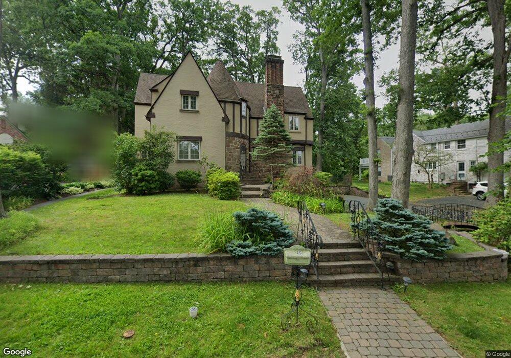
45 Beverly Rd Summit, NJ 07901
Estimated Value: $1,462,465 - $1,835,000
Studio
--
Bath
2,416
Sq Ft
$710/Sq Ft
Est. Value
About This Home
This home is located at 45 Beverly Rd, Summit, NJ 07901 and is currently estimated at $1,715,866, approximately $710 per square foot. 45 Beverly Rd is a home located in Union County with nearby schools including L C Johnson Summit Middle School, Summit Sr High School, and Kent Place School.
Ownership History
Date
Name
Owned For
Owner Type
Purchase Details
Closed on
Jul 6, 2000
Sold by
Charlaff David and Kouril Cynthia A
Bought by
Patin Yury and Volsfaya Svetlan
Current Estimated Value
Home Financials for this Owner
Home Financials are based on the most recent Mortgage that was taken out on this home.
Original Mortgage
$50,000
Outstanding Balance
$18,234
Interest Rate
8.5%
Mortgage Type
Credit Line Revolving
Estimated Equity
$1,697,632
Purchase Details
Closed on
Feb 5, 1994
Sold by
Hughes Louis R
Bought by
Charlaff David
Home Financials for this Owner
Home Financials are based on the most recent Mortgage that was taken out on this home.
Original Mortgage
$356,000
Interest Rate
7.6%
Create a Home Valuation Report for This Property
The Home Valuation Report is an in-depth analysis detailing your home's value as well as a comparison with similar homes in the area
Home Values in the Area
Average Home Value in this Area
Purchase History
| Date | Buyer | Sale Price | Title Company |
|---|---|---|---|
| Patin Yury | $635,000 | -- | |
| Charlaff David | $445,000 | -- |
Source: Public Records
Mortgage History
| Date | Status | Borrower | Loan Amount |
|---|---|---|---|
| Open | Patin Yury | $50,000 | |
| Open | Patin Yury | $400,000 | |
| Previous Owner | Charlaff David | $356,000 |
Source: Public Records
Tax History
| Year | Tax Paid | Tax Assessment Tax Assessment Total Assessment is a certain percentage of the fair market value that is determined by local assessors to be the total taxable value of land and additions on the property. | Land | Improvement |
|---|---|---|---|---|
| 2025 | $17,520 | $402,200 | $162,900 | $239,300 |
| 2024 | $17,403 | $402,200 | $162,900 | $239,300 |
| 2023 | $17,403 | $402,200 | $162,900 | $239,300 |
| 2022 | $17,226 | $402,200 | $162,900 | $239,300 |
| 2021 | $17,363 | $402,200 | $162,900 | $239,300 |
| 2020 | $17,536 | $402,200 | $162,900 | $239,300 |
| 2019 | $17,556 | $402,200 | $162,900 | $239,300 |
| 2018 | $17,443 | $402,200 | $162,900 | $239,300 |
| 2017 | $17,556 | $402,200 | $162,900 | $239,300 |
| 2016 | $17,299 | $402,200 | $162,900 | $239,300 |
| 2015 | $16,961 | $402,200 | $162,900 | $239,300 |
| 2014 | $16,522 | $402,200 | $162,900 | $239,300 |
Source: Public Records
Map
Nearby Homes
- 25 Bedford Rd
- 49 Norwood Ave
- 76 Woodland Ave
- 107 Kent Place Blvd
- 275 Woodland Ave
- 23 Euclid Ave
- 11 Euclid Ave Unit 4D
- 14 Euclid Ave Unit 102
- 1 Euclid Ave Unit 3B
- 8 Dunnder Dr
- 215 Kent Place Blvd
- 60 Fernwood Rd
- 149 Hillcrest Ave
- 133 Summit Ave Unit 16A
- 55 Oxbow Ln
- 49 Minton Ave
- 42 Locust Dr
- 11 Brantwood Dr
- 000 River Rd
- 81 Summit Ave
- 150 Canoe Brook Pkwy
- 49 Beverly Rd
- 22 Hickory Rd
- 156 Canoe Brook Pkwy
- 20 Hickory Rd
- 160 Canoe Brook Pkwy
- 44 Beverly Rd
- 40 Beverly Rd
- 148 Canoe Brook Pkwy
- 18 Hickory Rd
- 46 Beverly Rd
- 151 Canoe Brook Pkwy
- 164 Canoe Brook Pkwy
- 48 Beverly Rd
- 146 Canoe Brook Pkwy
- 16 Hickory Rd
- 21 Hickory Rd
- 68 Wade Dr
- 55 Beverly Rd
- 65 Wade Dr
Your Personal Tour Guide
Ask me questions while you tour the home.