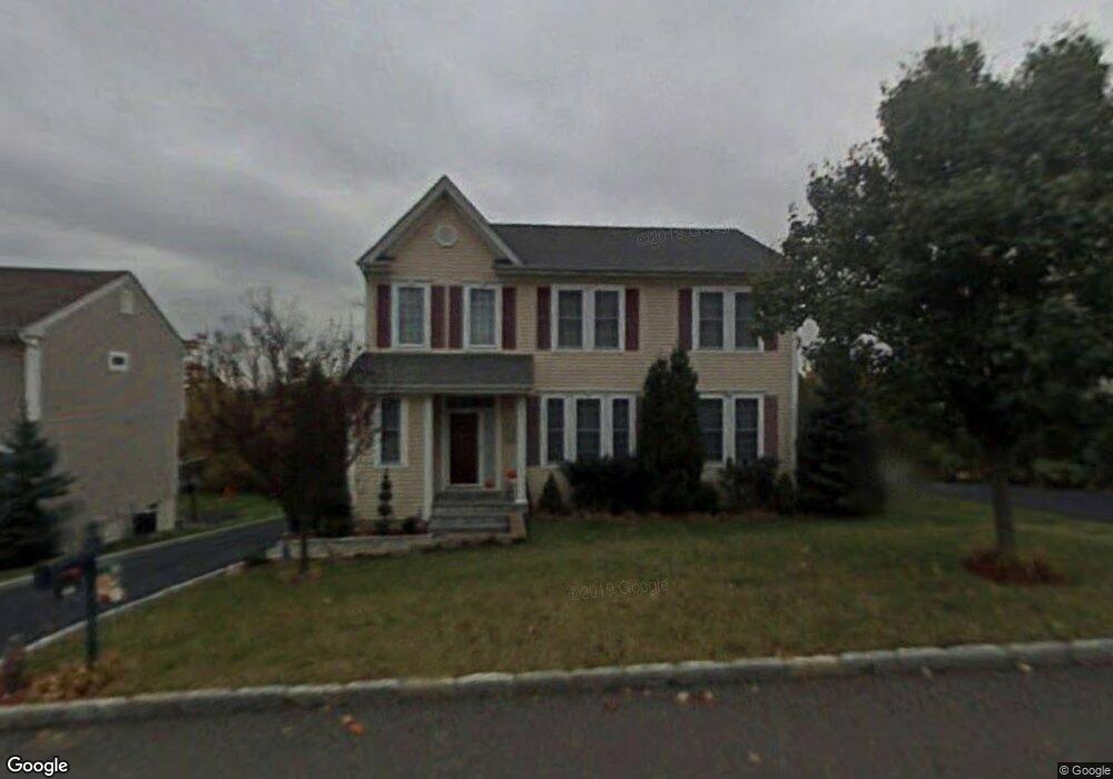
45 High Point Cir Rye Brook, NY 10573
Purchase NeighborhoodEstimated Value: $1,100,000 - $1,132,000
3
Beds
3
Baths
2,268
Sq Ft
$490/Sq Ft
Est. Value
About This Home
This home is located at 45 High Point Cir, Rye Brook, NY 10573 and is currently estimated at $1,111,860, approximately $490 per square foot. 45 High Point Cir is a home located in Westchester County with nearby schools including Bruno M. Ponterio Ridge Street School, Blind Brook Rye Middle School, and Blind Brook High School.
Ownership History
Date
Name
Owned For
Owner Type
Purchase Details
Closed on
Jul 30, 2024
Sold by
Campagna Santo T
Bought by
Namin Samad
Current Estimated Value
Home Financials for this Owner
Home Financials are based on the most recent Mortgage that was taken out on this home.
Original Mortgage
$560,000
Outstanding Balance
$491,223
Interest Rate
6.89%
Mortgage Type
New Conventional
Estimated Equity
$620,637
Create a Home Valuation Report for This Property
The Home Valuation Report is an in-depth analysis detailing your home's value as well as a comparison with similar homes in the area
Home Values in the Area
Average Home Value in this Area
Purchase History
We collect this data history from publicly available records. To have your information removed, we recommend requesting removal directly through your county’s website.
| Date | Buyer | Sale Price | Title Company |
|---|---|---|---|
| Namin Samad | $960,000 | None Listed On Document | |
| Namin Samad | $960,000 | None Listed On Document |
Source: Public Records
Mortgage History
We collect this data history from publicly available records. To have your information removed, we recommend requesting removal directly through your county’s website.
| Date | Status | Borrower | Loan Amount |
|---|---|---|---|
| Open | Namin Samad | $560,000 | |
| Closed | Namin Samad | $560,000 |
Source: Public Records
Tax History
| Year | Tax Paid | Tax Assessment Tax Assessment Total Assessment is a certain percentage of the fair market value that is determined by local assessors to be the total taxable value of land and additions on the property. | Land | Improvement |
|---|---|---|---|---|
| 2025 | $36,332 | $1,057,500 | $163,300 | $894,200 |
| 2024 | $25,070 | $947,800 | $163,300 | $784,500 |
| 2023 | $22,137 | $911,300 | $155,500 | $755,800 |
| 2022 | $22,595 | $851,700 | $155,500 | $696,200 |
| 2021 | $22,340 | $818,900 | $155,500 | $663,400 |
| 2020 | $18,697 | $818,900 | $155,500 | $663,400 |
| 2019 | $21,520 | $784,000 | $137,700 | $646,300 |
| 2018 | $13,748 | $766,600 | $135,300 | $631,300 |
| 2017 | $3,349 | $774,500 | $134,200 | $640,300 |
| 2016 | $17,808 | $790,900 | $170,400 | $620,500 |
| 2015 | -- | $762,000 | $136,300 | $625,700 |
| 2014 | -- | $707,200 | $115,900 | $591,300 |
| 2013 | -- | $704,100 | $112,800 | $591,300 |
Source: Public Records
Map
Nearby Homes
- 9 Meeting House Ln
- 26 Bellefair Rd
- 40 Bellefair Rd
- 2 Legendary Cir
- 67 Bellefair Rd
- 8 Chieftans Rd
- 5 Bristol Ln
- 332 Riversville Rd
- 311 Riversville Rd
- 20 Ponds Ln
- 36 Country Ridge Dr
- 4443 Purchase St
- 40 Thunder Mountain Rd
- 124 Lincoln Ave
- 3747 Purchase St
- 2 Katsura Dr
- 122 Lincoln Ave
- 8 Fairlawn Pkwy
- 9 Tamarack Place
- 3031 Purchase St
- 6 Meeting House Ln
- 8 Meeting House Ln
- 1 Meeting House Ln
- 10 Meeting House Ln
- 45 High Point Cir
- 45 High Point Cir
- 43 High Point Cir
- 41 High Point Cir
- 45 High Point Cir
- 12 Meeting House Ln
- 3 Meeting House Ln
- 15 Bellefair Blvd
- 5 Meeting House Ln
- 18 Bellefair Blvd
- 1 Bellefair Rd
- 7 Meeting House Ln
- 47 High Point Cir
- 2 Bellefair Rd
- 11 Meeting House Ln
- 37 High Point Cir
Your Personal Tour Guide
Ask me questions while you tour the home.