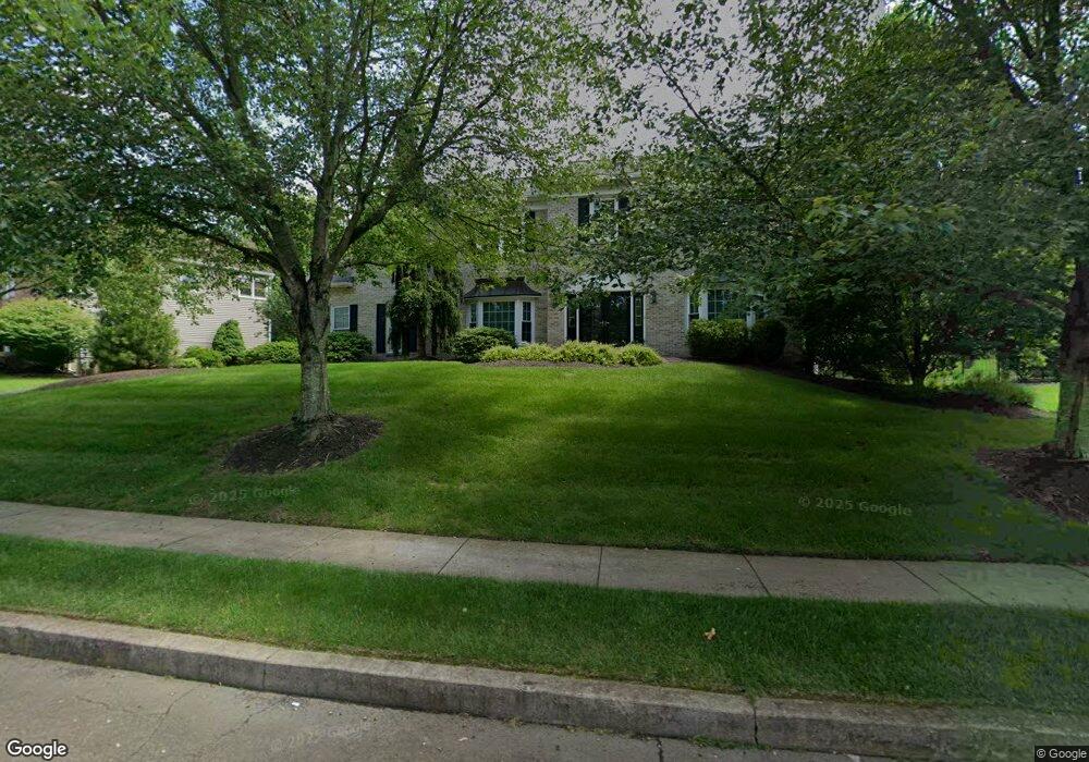
45 Radcliff Dr Doylestown, PA 18901
Estimated Value: $928,338 - $1,120,000
4
Beds
4
Baths
3,339
Sq Ft
$311/Sq Ft
Est. Value
About This Home
This home is located at 45 Radcliff Dr, Doylestown, PA 18901 and is currently estimated at $1,039,335, approximately $311 per square foot. 45 Radcliff Dr is a home located in Bucks County with nearby schools including Kutz Elementary School, Lenape Middle School, and Central Bucks High School-West.
Ownership History
Date
Name
Owned For
Owner Type
Purchase Details
Closed on
Sep 21, 2006
Sold by
Robinson Harold L and Robinson Claire M
Bought by
Robinson Harold L and Robinson Claire M
Current Estimated Value
Purchase Details
Closed on
Oct 5, 2005
Sold by
Robinson Harold L and Robinson Claire M
Bought by
Robinson Harold L and Robinson Claire M
Home Financials for this Owner
Home Financials are based on the most recent Mortgage that was taken out on this home.
Original Mortgage
$444,000
Outstanding Balance
$238,098
Interest Rate
5.79%
Mortgage Type
New Conventional
Estimated Equity
$801,237
Purchase Details
Closed on
Dec 22, 1994
Sold by
The Cutler Group Inc
Bought by
Robinson Harold L and Robinson Claire M
Home Financials for this Owner
Home Financials are based on the most recent Mortgage that was taken out on this home.
Original Mortgage
$214,150
Interest Rate
9.23%
Create a Home Valuation Report for This Property
The Home Valuation Report is an in-depth analysis detailing your home's value as well as a comparison with similar homes in the area
Home Values in the Area
Average Home Value in this Area
Purchase History
| Date | Buyer | Sale Price | Title Company |
|---|---|---|---|
| Robinson Harold L | -- | None Available | |
| Robinson Harold L | -- | T A Title Ins Co-Ed Sliker | |
| Robinson Harold L | $267,707 | T A Title Insurance Company |
Source: Public Records
Mortgage History
| Date | Status | Borrower | Loan Amount |
|---|---|---|---|
| Open | Robinson Harold L | $444,000 | |
| Closed | Robinson Harold L | $214,150 |
Source: Public Records
Tax History
| Year | Tax Paid | Tax Assessment Tax Assessment Total Assessment is a certain percentage of the fair market value that is determined by local assessors to be the total taxable value of land and additions on the property. | Land | Improvement |
|---|---|---|---|---|
| 2025 | $9,507 | $53,720 | $5,480 | $48,240 |
| 2024 | $9,507 | $53,720 | $5,480 | $48,240 |
| 2023 | $9,065 | $53,720 | $5,480 | $48,240 |
| 2022 | $8,964 | $53,720 | $5,480 | $48,240 |
| 2021 | $8,779 | $53,720 | $5,480 | $48,240 |
| 2020 | $8,739 | $53,720 | $5,480 | $48,240 |
| 2019 | $8,645 | $53,720 | $5,480 | $48,240 |
| 2018 | $8,618 | $53,720 | $5,480 | $48,240 |
| 2017 | $8,551 | $53,720 | $5,480 | $48,240 |
| 2016 | $8,497 | $53,720 | $5,480 | $48,240 |
| 2015 | -- | $53,720 | $5,480 | $48,240 |
| 2014 | -- | $53,720 | $5,480 | $48,240 |
Source: Public Records
Map
Nearby Homes
- 137 Wells Rd
- 72 Bittersweet Dr
- 588 Almshouse Rd
- 28 Brinker Dr
- 43 Evergreen Dr
- 15 Charter Oak Ct Unit 104
- 45 Maple Dr
- 2401 Lower State Rd Unit 106
- 158 Wooded Dr
- 60 Pebble Ridge Rd
- 3 Aspen Way Unit 33
- 117 Conestoga Dr
- 274 Hickory Dr
- 48 Steeplechase Dr
- 2-7 Aspen Way Unit 27
- 1920 Waid Way
- 325 N Shady Retreat Rd
- 200 N Shady Retreat Rd
- 11 Tradesville Dr
- 60 Cedar Dr
- 47 Radcliff Dr
- 43 Radcliff Dr
- 106 Brittany Cir
- 49 Radcliff Dr
- 108 Brittany Cir
- 48 Radcliff Dr
- 44 Radcliff Dr
- 46 Radcliff Dr
- 39 Radcliff Dr
- 42 Radcliff Dr
- 50 Radcliff Dr
- 104 Brittany Cir
- 53 Radcliff Dr
- 40 Radcliff Dr
- 37 Radcliff Dr
- 52 Radcliff Dr
- 105 Brittany Cir
- 55 Radcliff Dr
- 38 Radcliff Dr
- 103 Brittany Cir
Your Personal Tour Guide
Ask me questions while you tour the home.