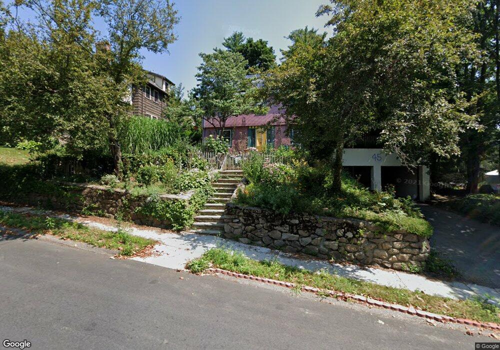
45 Walnut Hill Rd Chestnut Hill, MA 02467
South Brookline NeighborhoodEstimated Value: $1,554,645 - $1,861,000
4
Beds
4
Baths
2,465
Sq Ft
$715/Sq Ft
Est. Value
About This Home
This home is located at 45 Walnut Hill Rd, Chestnut Hill, MA 02467 and is currently estimated at $1,761,411, approximately $714 per square foot. 45 Walnut Hill Rd is a home located in Norfolk County with nearby schools including Baker School, Brookline High School, and Dexter School.
Ownership History
Date
Name
Owned For
Owner Type
Purchase Details
Closed on
Feb 3, 2010
Sold by
Sagov Stanley E
Bought by
Sagov Stanley E and Sagov Elivia Savadier
Current Estimated Value
Purchase Details
Closed on
Nov 14, 1985
Bought by
Sagov Stanley E and Savadie Elivia
Create a Home Valuation Report for This Property
The Home Valuation Report is an in-depth analysis detailing your home's value as well as a comparison with similar homes in the area
Home Values in the Area
Average Home Value in this Area
Purchase History
| Date | Buyer | Sale Price | Title Company |
|---|---|---|---|
| Sagov Stanley E | -- | -- | |
| Sagov Stanley E | $259,000 | -- |
Source: Public Records
Mortgage History
| Date | Status | Borrower | Loan Amount |
|---|---|---|---|
| Previous Owner | Sagov Stanley E | $252,000 | |
| Previous Owner | Sagov Stanley E | $247,000 | |
| Previous Owner | Sagov Stanley E | $231,000 |
Source: Public Records
Tax History
| Year | Tax Paid | Tax Assessment Tax Assessment Total Assessment is a certain percentage of the fair market value that is determined by local assessors to be the total taxable value of land and additions on the property. | Land | Improvement |
|---|---|---|---|---|
| 2025 | $12,879 | $1,304,900 | $684,700 | $620,200 |
| 2024 | $12,263 | $1,255,200 | $658,400 | $596,800 |
| 2023 | $11,571 | $1,160,600 | $533,900 | $626,700 |
| 2022 | $11,264 | $1,105,400 | $508,500 | $596,900 |
| 2021 | $10,415 | $1,062,800 | $488,900 | $573,900 |
| 2020 | $9,543 | $1,009,800 | $444,500 | $565,300 |
| 2019 | $9,011 | $961,700 | $423,300 | $538,400 |
| 2018 | $9,008 | $952,200 | $423,300 | $528,900 |
| 2017 | $8,795 | $890,200 | $399,300 | $490,900 |
| 2016 | $8,668 | $831,900 | $373,200 | $458,700 |
| 2015 | $8,304 | $777,500 | $348,800 | $428,700 |
| 2014 | $8,263 | $725,500 | $317,100 | $408,400 |
Source: Public Records
Map
Nearby Homes
- 16 Alberta Rd
- 1125 W Roxbury Pkwy
- 303 Russett Rd
- 71 Grove St
- 367 Newton St
- 171 Shaw Rd
- 73 Beverly Rd
- 25 Clearwater Rd
- 50-56 Broadlawn Park Unit 221
- 17 Fairgreen Place
- 87 Bonad Rd
- 57 Broadlawn Park Unit 14B
- 28 Westgate Rd Unit 3
- 34 Lagrange St
- 206 Lagrange St Unit 206
- 202 Allandale Rd Unit B
- 390 Weld St Unit 2
- 191 Newton St
- 188 Maple St
- 141 Church St
- 39 Walnut Hill Rd
- 8 Goodnough Rd
- 38 Walnut Hill Rd
- 16 Goodnough Rd
- 40 Walnut Hill Rd
- 44 Walnut Hill Rd
- 42 Walnut Hill Rd
- 32 Walnut Hill Rd
- 5 Shaw Rd
- 5 Shaw Rd Unit 5
- 15 - 0 Goodnough Rd
- 22 Goodnough Rd
- 50 Walnut Hill Rd
- 26 Walnut Hill Rd
- 11 Shaw Rd
- 9 Goodnough Rd
- 09 Goodnough Rd
- 15 Goodnough Rd
- 28 Goodnough Rd
- 3 Goodnough Rd
Your Personal Tour Guide
Ask me questions while you tour the home.