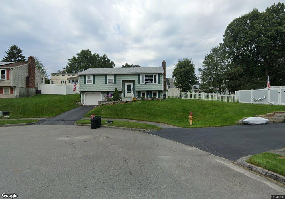
45 Westport Rd Worcester, MA 01605
Forest Grove NeighborhoodEstimated Value: $440,121 - $508,000
3
Beds
3
Baths
1,080
Sq Ft
$442/Sq Ft
Est. Value
About This Home
This home is located at 45 Westport Rd, Worcester, MA 01605 and is currently estimated at $477,780, approximately $442 per square foot. 45 Westport Rd is a home located in Worcester County with nearby schools including Nelson Place Elementary School, Jacob Hiatt Magnet School, and Chandler Magnet.
Create a Home Valuation Report for This Property
The Home Valuation Report is an in-depth analysis detailing your home's value as well as a comparison with similar homes in the area
Home Values in the Area
Average Home Value in this Area
Tax History
| Year | Tax Paid | Tax Assessment Tax Assessment Total Assessment is a certain percentage of the fair market value that is determined by local assessors to be the total taxable value of land and additions on the property. | Land | Improvement |
|---|---|---|---|---|
| 2025 | $5,637 | $427,400 | $117,800 | $309,600 |
| 2024 | $5,533 | $402,400 | $117,800 | $284,600 |
| 2023 | $5,398 | $376,400 | $102,400 | $274,000 |
| 2022 | $4,682 | $307,800 | $82,000 | $225,800 |
| 2021 | $4,581 | $281,400 | $65,600 | $215,800 |
| 2020 | $4,376 | $257,400 | $65,600 | $191,800 |
| 2019 | $4,268 | $237,100 | $59,000 | $178,100 |
| 2018 | $4,291 | $226,900 | $59,000 | $167,900 |
| 2017 | $4,111 | $213,900 | $59,000 | $154,900 |
| 2016 | $4,052 | $196,600 | $42,900 | $153,700 |
| 2015 | $3,946 | $196,600 | $42,900 | $153,700 |
| 2014 | $3,842 | $196,600 | $42,900 | $153,700 |
Source: Public Records
Map
Nearby Homes
- 158 Chester St
- 23 Leslie Rd
- 90 Bjorklund Ave
- 84 Chester St
- 3901 Knightsbridge Close Unit 3901
- 4004 Brompton Cir
- 42 N Worcester Ave
- 61 Barry Rd
- 12 Newell Rd
- 46 Barry Rd
- 97 Parkton Ave
- 5 Piehl Ave
- 3 Torrey Ln
- 202 Torrey Lane Extension Unit 202
- 82 Holden St
- 25 Chester St
- 53 Tea Party Cir
- 24 Watt Rd
- 37 Mohave Rd
- 7 Primmett Ln
Your Personal Tour Guide
Ask me questions while you tour the home.