450 Darling Rd Hudson, ME 04449
Estimated Value: $346,330 - $440,000
4
Beds
2
Baths
2,500
Sq Ft
$160/Sq Ft
Est. Value
About This Home
This home is located at 450 Darling Rd, Hudson, ME 04449 and is currently estimated at $400,443, approximately $160 per square foot. 450 Darling Rd is a home located in Penobscot County with nearby schools including Central Community Elementary School and Central High School.
Ownership History
Date
Name
Owned For
Owner Type
Purchase Details
Closed on
Dec 1, 2017
Sold by
Robb Andrew T and Robb Cassandra J
Bought by
Graham Arnold L
Current Estimated Value
Home Financials for this Owner
Home Financials are based on the most recent Mortgage that was taken out on this home.
Original Mortgage
$153,000
Outstanding Balance
$126,773
Interest Rate
3.88%
Mortgage Type
New Conventional
Estimated Equity
$273,670
Purchase Details
Closed on
Jul 30, 2007
Sold by
Robb Cassandra J
Bought by
Robb Cassandra J and Robb Andrew T
Home Financials for this Owner
Home Financials are based on the most recent Mortgage that was taken out on this home.
Original Mortgage
$134,000
Interest Rate
7%
Mortgage Type
Commercial
Create a Home Valuation Report for This Property
The Home Valuation Report is an in-depth analysis detailing your home's value as well as a comparison with similar homes in the area
Purchase History
| Date | Buyer | Sale Price | Title Company |
|---|---|---|---|
| Graham Arnold L | -- | -- | |
| Robb Cassandra J | -- | -- |
Source: Public Records
Mortgage History
| Date | Status | Borrower | Loan Amount |
|---|---|---|---|
| Open | Graham Arnold L | $153,000 | |
| Previous Owner | Robb Cassandra J | $134,000 |
Source: Public Records
Tax History
| Year | Tax Paid | Tax Assessment Tax Assessment Total Assessment is a certain percentage of the fair market value that is determined by local assessors to be the total taxable value of land and additions on the property. | Land | Improvement |
|---|---|---|---|---|
| 2024 | $3,312 | $203,800 | $32,900 | $170,900 |
| 2023 | $3,108 | $203,800 | $32,900 | $170,900 |
| 2022 | $2,955 | $203,800 | $32,900 | $170,900 |
| 2021 | $2,955 | $203,800 | $32,900 | $170,900 |
| 2019 | $2,955 | $203,800 | $32,900 | $170,900 |
| 2018 | $2,914 | $203,800 | $32,900 | $170,900 |
| 2017 | $2,833 | $203,800 | $32,900 | $170,900 |
| 2016 | $2,732 | $203,870 | $32,940 | $170,930 |
| 2015 | $2,617 | $202,870 | $31,940 | $170,930 |
| 2014 | $2,455 | $202,870 | $31,940 | $170,930 |
| 2013 | $2,303 | $202,870 | $31,940 | $170,930 |
Source: Public Records
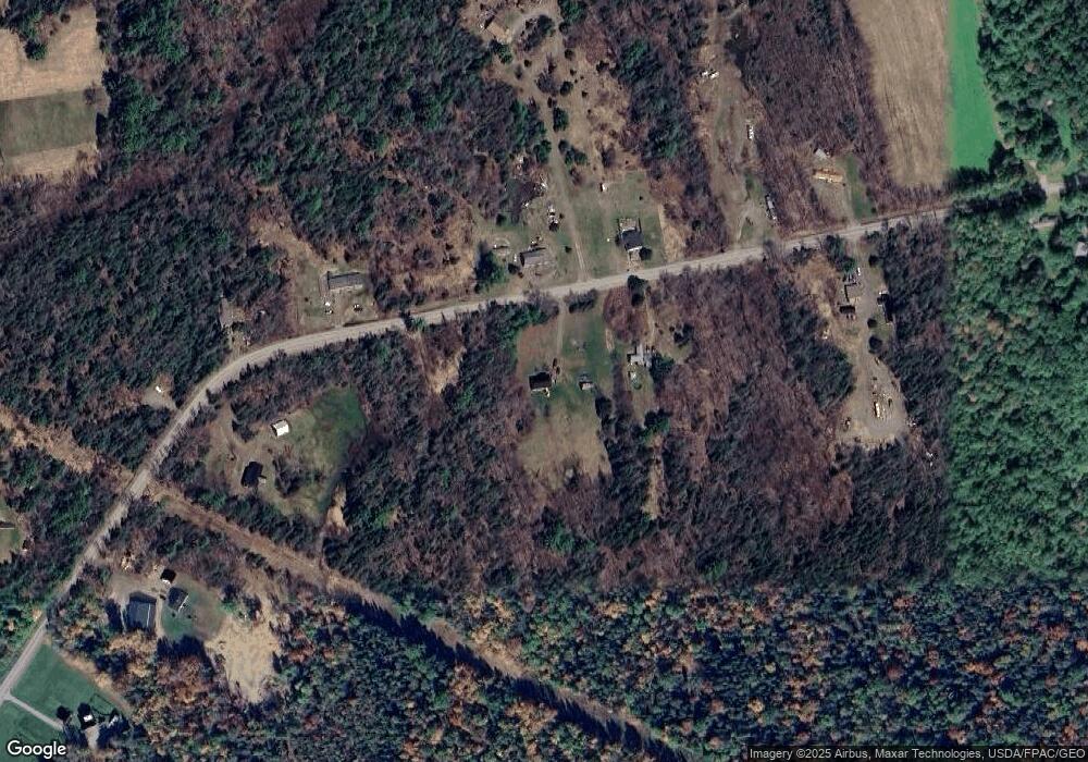
Map
Nearby Homes
- 398 Hudson Hill Rd
- 2016 Hudson Rd
- 14 Pushaw Woods Ln
- 1156 Main St
- Lot 24-07 Tate Rd
- 748 Grant Rd
- 34 Center St
- 32 Center St
- 67 Stacey Ln
- 19 Marston Meadow Rd
- 263 Mudgett Rd
- 465 Grant Rd
- 7 Ellingwood Dr
- 14-2 Hemlock Dr
- 20, Ln
- 8, 20 24 & 46 Martins Ln
- 8 Martins Ln
- 9 Jipson Ln
- 2979 Hudson Rd
- 57 Lorna Ln
- 277 Darling Rd
- 280 Darling Rd
- 108 Darling Rd
- 290 Darling Rd
- 242 Darling Rd
- 284 Darling Rd
- 265 Darling Rd
- 241 Darling Rd
- 165 Darling Rd
- 452 Darling Rd
- 420 Darling Rd
- 245 Darling Rd
- 304 Darling Rd
- 324 Darling Rd
- 237 Darling Rd
- 314 Darling Rd
- 319 Darling Rd
- 225 Darling Rd
- Map 2 Lot Lower Cross Rd
- 88 Upper Cross Rd
Your Personal Tour Guide
Ask me questions while you tour the home.