450 Patrick Rd Ephrata, WA 98823
Estimated Value: $362,000 - $470,000
6
Beds
3
Baths
1,443
Sq Ft
$281/Sq Ft
Est. Value
About This Home
This home is located at 450 Patrick Rd, Ephrata, WA 98823 and is currently estimated at $405,724, approximately $281 per square foot. 450 Patrick Rd is a home located in Grant County with nearby schools including Ephrata High School, New Life Christian School, and St. Rose of Lima Catholic School.
Ownership History
Date
Name
Owned For
Owner Type
Purchase Details
Closed on
Aug 8, 2013
Sold by
Cody Cheri A and Grace Cheri A
Bought by
Grace Daniel A
Current Estimated Value
Home Financials for this Owner
Home Financials are based on the most recent Mortgage that was taken out on this home.
Original Mortgage
$206,200
Outstanding Balance
$151,510
Interest Rate
4.17%
Mortgage Type
New Conventional
Estimated Equity
$254,214
Purchase Details
Closed on
Jul 27, 2005
Sold by
Stevens David P
Bought by
Grace Daniel A and Grace Cheri A
Home Financials for this Owner
Home Financials are based on the most recent Mortgage that was taken out on this home.
Original Mortgage
$163,200
Interest Rate
5.56%
Mortgage Type
Fannie Mae Freddie Mac
Create a Home Valuation Report for This Property
The Home Valuation Report is an in-depth analysis detailing your home's value as well as a comparison with similar homes in the area
Purchase History
We collect this data history from publicly available records. To have your information removed, we recommend requesting removal directly through your county’s website.
| Date | Buyer | Sale Price | Title Company |
|---|---|---|---|
| Grace Daniel A | -- | Stewart Title | |
| Grace Daniel A | $21,000 | Chicago Title Ins Co |
Source: Public Records
Mortgage History
We collect this data history from publicly available records. To have your information removed, we recommend requesting removal directly through your county’s website.
| Date | Status | Borrower | Loan Amount |
|---|---|---|---|
| Open | Grace Daniel A | $206,200 | |
| Closed | Grace Daniel A | $163,200 |
Source: Public Records
Tax History
| Year | Tax Paid | Tax Assessment Tax Assessment Total Assessment is a certain percentage of the fair market value that is determined by local assessors to be the total taxable value of land and additions on the property. | Land | Improvement |
|---|---|---|---|---|
| 2025 | $3,628 | $346,971 | -- | -- |
| 2024 | $3,737 | $331,872 | $29,900 | $301,972 |
| 2023 | $4,070 | $283,325 | $29,900 | $253,425 |
| 2022 | $3,524 | $283,325 | $29,900 | $253,425 |
| 2021 | $2,964 | $283,325 | $29,900 | $253,425 |
| 2020 | $3,195 | $226,885 | $29,900 | $196,985 |
| 2019 | $2,289 | $215,940 | $29,900 | $186,040 |
| 2018 | $2,834 | $195,920 | $25,000 | $170,920 |
| 2017 | $3,063 | $226,080 | $25,000 | $201,080 |
| 2016 | $3,193 | $218,510 | $25,000 | $193,510 |
| 2013 | -- | $216,180 | $25,000 | $191,180 |
Source: Public Records
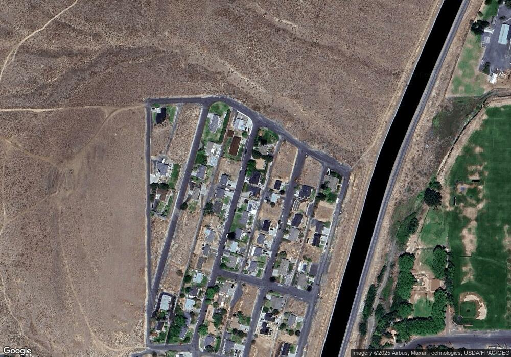
Map
Nearby Homes
- 405 Strand Rd
- 335 Canal Blvd
- 0 NKA Patrick Rd
- 281 Patrick Rd
- 321 Maringo Rd
- 0 Vue Crest Rd Unit NWM2523627
- 324 Mocliff Rd
- 281 Mocliff Rd
- 471 Statter Rd
- 0 Strand Rd Unit NWM2521670
- 386 Mocliff Rd
- 222 Mocliff Rd
- 870 C St NW
- 532 Jadehurst Dr
- 914 Roosevelt Blvd
- 0 Unit NWM2478101
- 921 1st Ave NW
- 493 Chrisview Ct W
- 257 D St NW
- 247 D St NW
Your Personal Tour Guide
Ask me questions while you tour the home.