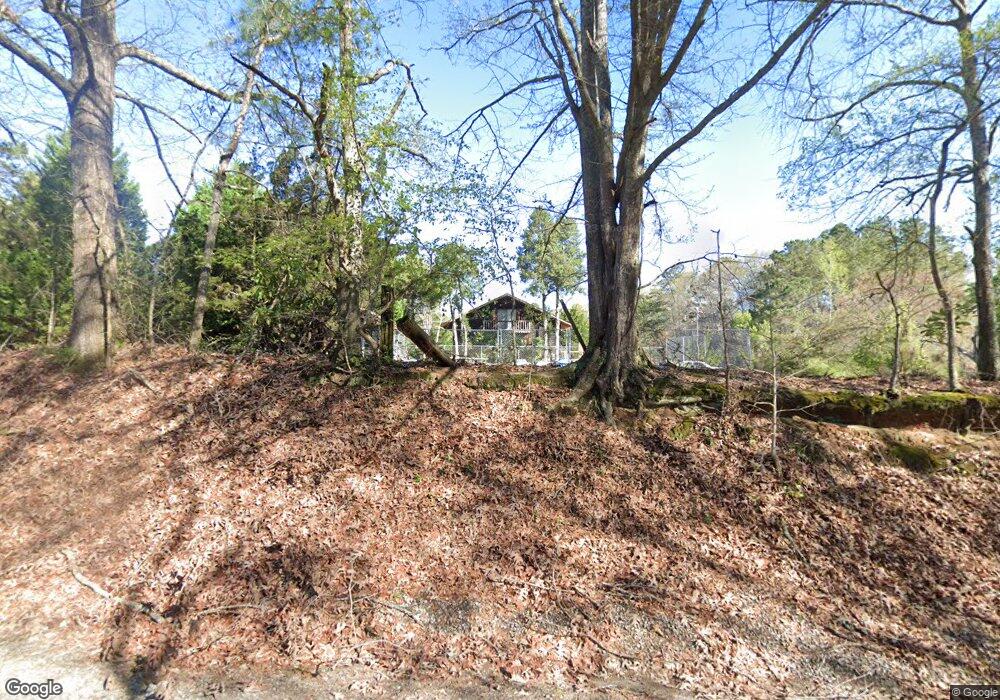
450 Tri County Rd Brooks, GA 30205
Spalding County NeighborhoodEstimated Value: $265,842 - $330,000
2
Beds
2
Baths
1,280
Sq Ft
$229/Sq Ft
Est. Value
About This Home
This home is located at 450 Tri County Rd, Brooks, GA 30205 and is currently estimated at $292,614, approximately $228 per square foot. 450 Tri County Rd is a home located in Spalding County with nearby schools including Orrs Elementary School, Carver Road Middle School, and Griffin High School.
Ownership History
Date
Name
Owned For
Owner Type
Purchase Details
Closed on
Jun 20, 2018
Sold by
Negron Sylvia Anne
Bought by
Negron Alvin Lou
Current Estimated Value
Purchase Details
Closed on
Dec 4, 2002
Sold by
Negron Sylvia A
Bought by
Negron Sylvia A and Negron Alvin L
Home Financials for this Owner
Home Financials are based on the most recent Mortgage that was taken out on this home.
Original Mortgage
$135,300
Interest Rate
6.07%
Mortgage Type
Stand Alone Refi Refinance Of Original Loan
Purchase Details
Closed on
Dec 29, 1978
Sold by
Cobb Kyle
Bought by
Weldon Ronald J and Weldon Sylvia A
Create a Home Valuation Report for This Property
The Home Valuation Report is an in-depth analysis detailing your home's value as well as a comparison with similar homes in the area
Home Values in the Area
Average Home Value in this Area
Purchase History
| Date | Buyer | Sale Price | Title Company |
|---|---|---|---|
| Negron Alvin Lou | -- | -- | |
| Negron Sylvia A | -- | -- | |
| Weldon Ronald J | $29,400 | -- |
Source: Public Records
Mortgage History
| Date | Status | Borrower | Loan Amount |
|---|---|---|---|
| Previous Owner | Negron Sylvia A | $135,300 |
Source: Public Records
Tax History
| Year | Tax Paid | Tax Assessment Tax Assessment Total Assessment is a certain percentage of the fair market value that is determined by local assessors to be the total taxable value of land and additions on the property. | Land | Improvement |
|---|---|---|---|---|
| 2025 | $1,059 | $79,279 | $40,305 | $38,974 |
| 2024 | $1,056 | $79,279 | $40,305 | $38,974 |
| 2023 | $1,056 | $79,279 | $40,305 | $38,974 |
| 2022 | $921 | $64,278 | $31,004 | $33,274 |
| 2021 | $1,001 | $64,278 | $31,004 | $33,274 |
| 2020 | $721 | $64,278 | $31,004 | $33,274 |
| 2019 | $1,659 | $62,784 | $30,800 | $31,984 |
| 2018 | $1,597 | $60,300 | $30,800 | $29,500 |
| 2017 | $1,542 | $60,300 | $30,800 | $29,500 |
| 2016 | $1,568 | $60,300 | $30,800 | $29,500 |
| 2015 | $2,000 | $60,300 | $30,800 | $29,500 |
| 2014 | $2,037 | $60,300 | $30,800 | $29,500 |
Source: Public Records
Map
Nearby Homes
- 6475 Newnan Rd
- 100 Fairview Rd
- 460 Mask Rd
- 161 Mockingbird Ln
- LOT 8 Mask Road - Hanner's Farm S
- LOT 7 Mask Road - Hanner's Farm S
- LOT 6 Mask Road - Hanner's Farm N
- LOT 5 Mask Road - Hanner's Farm N
- LOT 4 Mask Road - Hanner's Farm N
- 210 Mockingbird Ln
- LOT 3 Mask Road - Hanner's Farm N
- 0 Mask Rd Unit 10671477
- 130 Brooklet Way
- NEXT TO 443 W Mcintosh Rd
- 0 W Mcintosh Rd Unit 10654779
- 395 W Mcintosh Rd
- 4101 W Ellis Rd
- 456 W Mcintosh Rd
- 911 Highway 85 Connector
- 9902 Highway 16
- 460 Tri County Rd
- 465 Tri County Rd
- 6775 Newnan Rd
- 3410 Hickory Hill Rd
- 180 Midville Rd
- 0 Poplar Dr Unit 3+/- 7570873
- 0 Poplar Dr Unit 7+/- 7621767
- 0 Poplar Dr Unit 7639362
- 560 Tri County Rd
- 557 Tri County Rd
- 0 Highway 16 Unit 7204537
- 0 Highway 16 Unit B 8658419
- 0 Highway 16 Unit B 8498170
- 256 Tri County Rd Unit B&F
- 256 Tri County Rd
- 586 Tri County Rd
- 3375 Hickory Hill Rd
- 6780 Newnan Rd
- 194 Midville Rd
- 2935 Hickory Hill Rd
Your Personal Tour Guide
Ask me questions while you tour the home.