4500 Brophy Rd Howell, MI 48855
Estimated Value: $203,000 - $270,000
About This Home
This home is located at 4500 Brophy Rd, Howell, MI 48855 and is currently estimated at $234,106, approximately $243 per square foot. 4500 Brophy Rd is a home located in Livingston County with nearby schools including Ruahmah J. Hutchings Elementary, Parker Middle School, and Howell High School.
Ownership History
We collect this data history from publicly available records. To have your information removed, we recommend requesting removal directly through your county’s website.
Purchase Details
Home Financials for this Owner
Home Financials are based on the most recent Mortgage that was taken out on this home.Home Values in the Area
Average Home Value in this Area
Purchase History
We collect this data history from publicly available records. To have your information removed, we recommend requesting removal directly through your county’s website.
| Date | Buyer | Sale Price | Title Company |
|---|---|---|---|
| $160,000 | None Listed On Document |
Mortgage History
We collect this data history from publicly available records. To have your information removed, we recommend requesting removal directly through your county’s website.
| Date | Status | Borrower | Loan Amount |
|---|---|---|---|
| Open | $152,000 |
Tax History
We collect this data history from publicly available records. To have your information removed, we recommend requesting removal directly through your county’s website.
| Year | Tax Paid | Tax Assessment Tax Assessment Total Assessment is a certain percentage of the fair market value that is determined by local assessors to be the total taxable value of land and additions on the property. | Land | Improvement |
|---|---|---|---|---|
| 2025 | $1,330 | $92,200 | $0 | $0 |
| 2024 | $1,175 | $80,200 | $0 | $0 |
| 2023 | $1,046 | $68,300 | $0 | $0 |
| 2022 | $340 | $56,400 | $0 | $0 |
| 2021 | $1,836 | $60,500 | $0 | $0 |
| 2020 | $1,037 | $56,400 | $0 | $0 |
| 2019 | $1,023 | $52,200 | $0 | $0 |
| 2018 | $1,010 | $50,100 | $0 | $0 |
| 2017 | $997 | $49,100 | $0 | $0 |
| 2016 | $991 | $47,900 | $0 | $0 |
| 2014 | $950 | $40,900 | $0 | $0 |
| 2012 | $950 | $39,100 | $0 | $0 |
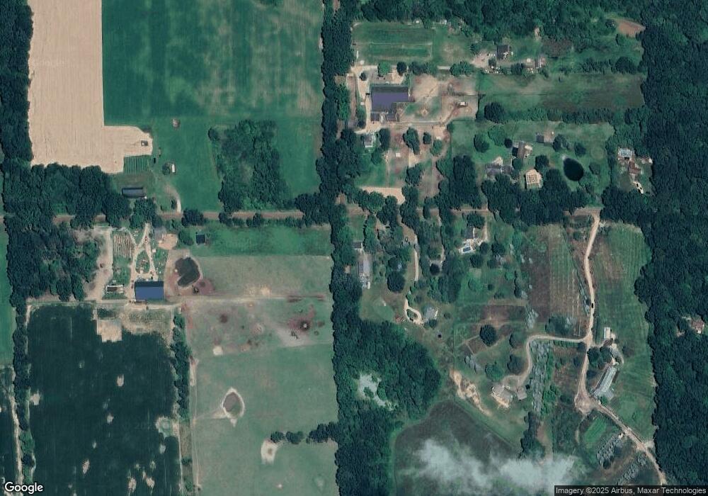
Map
- 000 N Latson Rd
- 000 VL N Latson Rd
- 2260 Moorland's View
- 4121 Ash Tree Ln
- 4441 Mack Rd
- 4248 Merriman Loop
- VL-000 Charles Huff Rd
- 0 Eager Unit 293099
- 3452 E Highland Rd
- 956 Callaway Ct
- 989 Callaway Ct
- 4126 Sonata Dr
- 559 Cannonade Loop
- 3849 Silver Charm Ln
- 4610 Clyde Rd
- 4966 Mack Rd
- 2886 Bogues View Dr
- 2647 Curdy Rd
- 3991 Rainier Dr Unit 1
- 2511 Kerria Dr Unit 42
- 4510 Brophy Rd
- 4570 Brophy Rd
- 4550 Brophy Rd
- 4600 Brophy Rd
- 3050 Listerman Rd
- 4350 Brophy Rd
- 4646 Brophy Rd
- 4611 Brophy Rd
- 3142 Listerman Rd
- 4721 Brophy Rd
- V/L Listerman Rd
- 4802 Brophy Rd
- 3250 Listerman Rd
- 3312 Listerman Rd
- 3400 Listerman Rd
- 3388 Listerman Rd
- 0 Caramae Ln
- 3476 Listerman Rd
- 2711 N Hughes Rd
- 3475 Listerman Rd
Ask me questions while you tour the home.