451 Cole Rd Moultrie, GA 31788
Estimated Value: $162,000 - $375,099
Studio
2
Baths
2,064
Sq Ft
$152/Sq Ft
Est. Value
About This Home
This home is located at 451 Cole Rd, Moultrie, GA 31788 and is currently estimated at $314,025, approximately $152 per square foot. 451 Cole Rd is a home located in Colquitt County with nearby schools including Odom Elementary School, Willie J. Williams Middle School, and C.A. Gray Junior High School.
Ownership History
Date
Name
Owned For
Owner Type
Purchase Details
Closed on
Sep 24, 2008
Sold by
Federal Home Loan Mortgage Corporation
Bought by
Mccoy Tabitha
Current Estimated Value
Purchase Details
Closed on
Jan 2, 2008
Sold by
Branch Banking & Trust Com
Bought by
Federal Home Loan Mortgage Corporation
Purchase Details
Closed on
Jan 5, 2005
Bought by
Davis Bernard
Home Financials for this Owner
Home Financials are based on the most recent Mortgage that was taken out on this home.
Original Mortgage
$37,056
Interest Rate
5.61%
Mortgage Type
New Conventional
Create a Home Valuation Report for This Property
The Home Valuation Report is an in-depth analysis detailing your home's value as well as a comparison with similar homes in the area
Purchase History
| Date | Buyer | Sale Price | Title Company |
|---|---|---|---|
| Mccoy Tabitha | $174,000 | -- | |
| Federal Home Loan Mortgage Corporation | $211,689 | -- | |
| Branch Banking & Trust Company | $211,689 | -- | |
| Davis Bernard | $45,000 | -- |
Source: Public Records
Mortgage History
| Date | Status | Borrower | Loan Amount |
|---|---|---|---|
| Previous Owner | Davis Bernard | $37,056 |
Source: Public Records
Tax History
| Year | Tax Paid | Tax Assessment Tax Assessment Total Assessment is a certain percentage of the fair market value that is determined by local assessors to be the total taxable value of land and additions on the property. | Land | Improvement |
|---|---|---|---|---|
| 2025 | $2,641 | $127,243 | $18,433 | $108,810 |
| 2024 | $2,927 | $131,510 | $13,824 | $117,686 |
| 2023 | $2,398 | $102,723 | $13,824 | $88,899 |
| 2022 | $2,184 | $93,710 | $12,288 | $81,422 |
| 2021 | $2,112 | $86,968 | $12,288 | $74,680 |
| 2020 | $2,149 | $86,968 | $12,288 | $74,680 |
| 2019 | $2,022 | $73,571 | $12,288 | $61,283 |
Source: Public Records
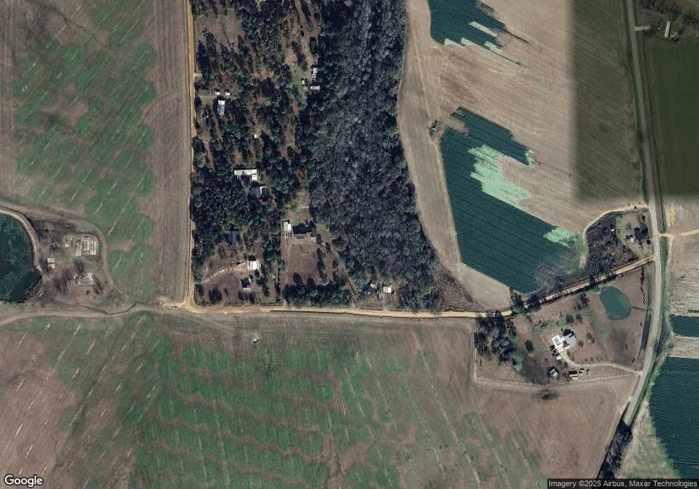
Map
Nearby Homes
- 7002 Old Adel Rd
- 0 Cook Rd
- 5808 Georgia 133
- 0 Upper Trail Unit 913422
- 274 Railroad St
- 320 Wilder Rd
- 2262 Sardis Church Rd
- 1833 Old Berlin Rd
- 410 Railroad St
- 2195 Sardis Church Rd
- 1863 Old Berlin Rd
- 182 Horseshoe Dr
- 0 Sardis Church Rd Unit 146687
- 5940 Georgia 37
- 8774 Antioch Rd
- 144 Flint Dr
- 3208 Tallokas Rd
- 0 Tallokas Rd Unit 11663248
- 150 Friendship Trail
- 410 Indian Trail
- 397 Cole Rd
- 377 Cole Rd
- 355 Cole Rd
- 337 Cole Rd
- 370 Perry Rd
- 265 Cole Rd
- 300 Perry Rd
- 237 Cole Rd
- 197 Perry Rd
- 140 Perry Rd
- 439 Perry Rd
- 4811 Ga Highway 133 S
- 4606 Ga Highway 133 S
- 4582 Ga Highway 133 S
- 4640 Ga Highway 133 S
- 7849 Old Adel Rd
- 4858 Ga Highway 133 S
- 4928 Ga Highway 133 S
- 409 Ga Highway 133 Rd S
- 5052 Ga Highway 133 S
Your Personal Tour Guide
Ask me questions while you tour the home.