451 Forest Rd Catawissa, MO 63015
Estimated Value: $44,000 - $250,000
About This Home
This home is located at 451 Forest Rd, Catawissa, MO 63015 and is currently estimated at $151,065, approximately $172 per square foot. 451 Forest Rd is a home located in Franklin County with nearby schools including Pacific High School.
Ownership History
We collect this data history from publicly available records. To have your information removed, we recommend requesting removal directly through your county’s website.
Purchase Details
Purchase Details
Purchase Details
Home Financials for this Owner
Home Financials are based on the most recent Mortgage that was taken out on this home.Purchase History
We collect this data history from publicly available records. To have your information removed, we recommend requesting removal directly through your county’s website.
| Date | Buyer | Sale Price | Title Company |
|---|---|---|---|
| $15,055 | None Available | ||
| $27,560 | None Available | ||
| -- | None Available |
Mortgage History
We collect this data history from publicly available records. To have your information removed, we recommend requesting removal directly through your county’s website.
| Date | Status | Borrower | Loan Amount |
|---|---|---|---|
| Previous Owner | $47,700 |
Tax History
We collect this data history from publicly available records. To have your information removed, we recommend requesting removal directly through your county’s website.
| Year | Tax Paid | Tax Assessment Tax Assessment Total Assessment is a certain percentage of the fair market value that is determined by local assessors to be the total taxable value of land and additions on the property. | Land | Improvement |
|---|---|---|---|---|
| 2025 | $848 | $11,867 | $0 | $0 |
| 2024 | $848 | $10,515 | $0 | $0 |
| 2023 | $752 | $7,173 | $0 | $0 |
| 2022 | $468 | $7,163 | $0 | $0 |
| 2021 | $596 | $9,169 | $0 | $0 |
| 2020 | $590 | $9,093 | $0 | $0 |
| 2019 | $589 | $9,093 | $0 | $0 |
| 2018 | $586 | $8,875 | $0 | $0 |
| 2017 | $582 | $8,875 | $0 | $0 |
| 2016 | $582 | $8,780 | $0 | $0 |
| 2015 | $565 | $8,780 | $0 | $0 |
| 2014 | $616 | $9,735 | $0 | $0 |
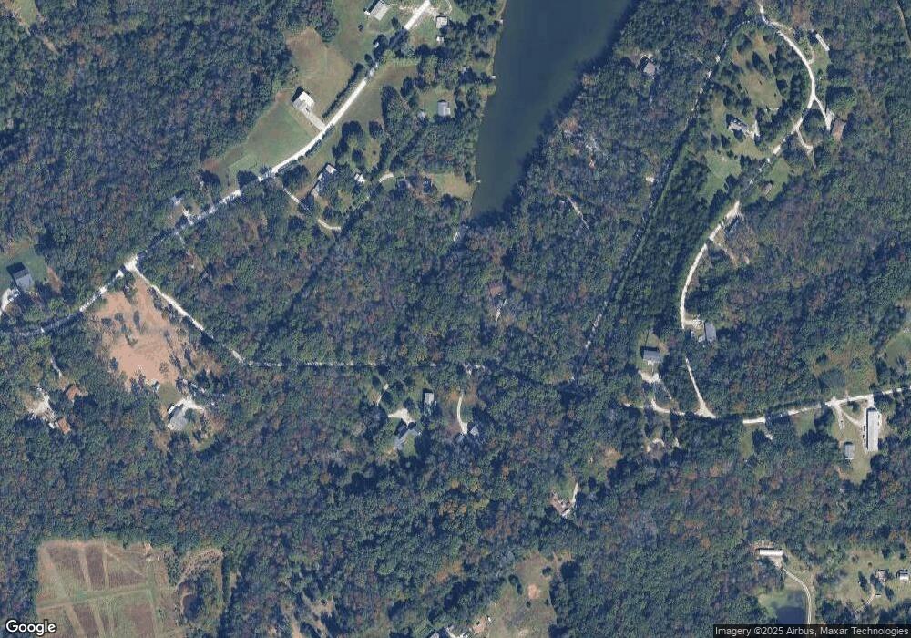
Map
- 000 Forest Rd
- 5563 E Anding Dr
- 5362 W Anding Dr
- 0 Stone Ridge Rd Unit MAR25025168
- 6388 Salamone Rd
- 0 Watts Ridge Dr
- 1275 Finney Rd
- 801 Honeyridge Rd
- 3858 Lindenwood Ct
- Oak Hill Dr
- 3846 Oak Hill Rd
- 421 & 425 Pinewood Dr
- 3802 Pinewood Dr
- 445-457 Pinewood Dr
- 3830 Redwood Ln
- 3818-3826 Redwood Ln
- 3906 & 3910 Redbud Dr
- Lot35 BLOCKF Redbud Dr
- 3906 Redbud Dr
- Lot36 BLOCKF Redbud Dr
- 5552 W Calvey Cir
- 19 W Calvey (Lot 19)
- 5538 W Calvey Cir
- 38LOT Forest Rd
- 4824 Womble Dr
- 19 Calvey Cir
- 43 Calvey Cir
- 27 Calvey Cir
- 5530 W Calvey Cir
- 452 Forest Rd
- 331 Forest Rd
- 4802 Womble Dr
- 5501 E Anding Dr
- 14 Womble Dr
- 5486 W Calvey Cir
- 0 W Calvey Cir
- 19 W Calvey Cir
- 336 Forest Rd
- 5555 E Calvey Cir
- 5525 E Anding Dr
Ask me questions while you tour the home.