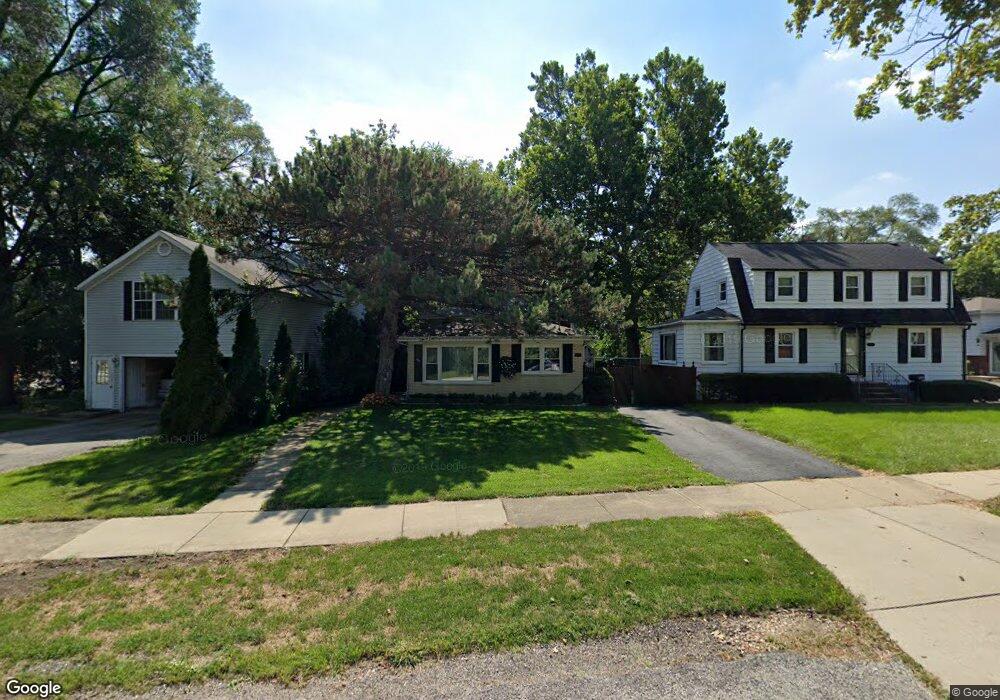
451 Harvey Ave Des Plaines, IL 60016
Estimated Value: $375,000 - $382,000
3
Beds
2
Baths
1,307
Sq Ft
$290/Sq Ft
Est. Value
About This Home
This home is located at 451 Harvey Ave, Des Plaines, IL 60016 and is currently estimated at $378,807, approximately $289 per square foot. 451 Harvey Ave is a home located in Cook County with nearby schools including Terrace Elementary School, Chippewa Middle School, and Maine West High School.
Ownership History
Date
Name
Owned For
Owner Type
Purchase Details
Closed on
Jun 20, 1997
Sold by
Bielski Jacek
Bought by
Huk Jan and Huk Franciszka H
Current Estimated Value
Home Financials for this Owner
Home Financials are based on the most recent Mortgage that was taken out on this home.
Original Mortgage
$129,600
Interest Rate
7.94%
Purchase Details
Closed on
Mar 25, 1997
Sold by
Nowak Eleonora
Bought by
Bielski Jacek
Create a Home Valuation Report for This Property
The Home Valuation Report is an in-depth analysis detailing your home's value as well as a comparison with similar homes in the area
Home Values in the Area
Average Home Value in this Area
Purchase History
| Date | Buyer | Sale Price | Title Company |
|---|---|---|---|
| Huk Jan | $162,000 | Attorneys Natl Title Network | |
| Bielski Jacek | -- | -- |
Source: Public Records
Mortgage History
| Date | Status | Borrower | Loan Amount |
|---|---|---|---|
| Closed | Huk Jan | $129,600 |
Source: Public Records
Tax History
| Year | Tax Paid | Tax Assessment Tax Assessment Total Assessment is a certain percentage of the fair market value that is determined by local assessors to be the total taxable value of land and additions on the property. | Land | Improvement |
|---|---|---|---|---|
| 2025 | $5,995 | $33,576 | $6,541 | $27,035 |
| 2024 | $5,995 | $26,717 | $5,451 | $21,266 |
| 2023 | $5,819 | $26,717 | $5,451 | $21,266 |
| 2022 | $5,819 | $26,717 | $5,451 | $21,266 |
| 2021 | $5,420 | $21,628 | $4,360 | $17,268 |
| 2020 | $5,411 | $21,628 | $4,360 | $17,268 |
| 2019 | $7,559 | $32,202 | $4,360 | $27,842 |
| 2018 | $5,305 | $21,861 | $3,815 | $18,046 |
| 2017 | $5,232 | $21,861 | $3,815 | $18,046 |
| 2016 | $5,381 | $21,861 | $3,815 | $18,046 |
| 2015 | $5,029 | $20,008 | $3,270 | $16,738 |
| 2014 | $4,944 | $20,008 | $3,270 | $16,738 |
| 2013 | $4,798 | $20,008 | $3,270 | $16,738 |
Source: Public Records
Map
Nearby Homes
- 289 Oxford Rd
- 321 Woodbridge St
- 373 Woodbridge St
- 300 S Cumberland Pkwy
- 250 Anita St
- 155 Cornell Ave
- 567 Bedford Ln
- 72 Nicholas Dr E
- 776 Rockwell Ln
- 19 Marina Dr
- 259 Cornell Ave
- 890 North Ave
- 879 North Ave
- 510 S Mount Prospect Rd
- 372 Stratford Rd
- 955 Rand Rd
- 170 Westmere Rd
- 609 E Thacker St
- 1100 Evergreen Ave
- 492 1st Ave
- 473 Harvey Ave Unit 55
- 443 Harvey Ave
- 435 Harvey Ave
- 427 Harvey Ave
- 224 S Wolf Rd
- 284 S Wolf Rd
- 413 Harvey Ave
- 216 S Wolf Rd
- 456 Columbia Ave
- 436 Harvey Ave
- 426 Harvey Ave
- 251 S Wolf Rd
- 446 Columbia Ave
- 420 Harvey Ave
- 210 S Wolf Rd
- 269 S Wolf Rd
- 501 Columbia Ave
- 436 Columbia Ave
- 481 Harvey Ave
- 504 Columbia Ave
Your Personal Tour Guide
Ask me questions while you tour the home.