Estimated Value: $176,000 - $215,000
About This Home
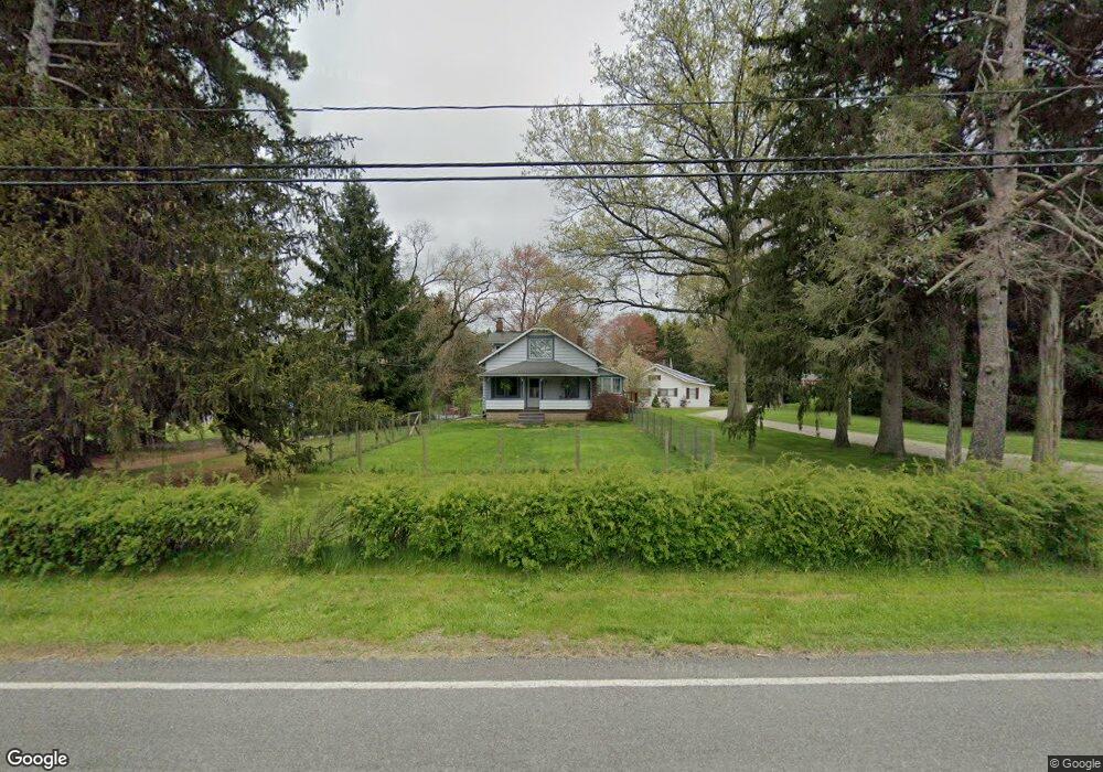
This home is located at 451 Howe Rd, Kent, OH 44240 and is currently estimated at $195,159, approximately $205 per square foot. 451 Howe Rd is a home located in Portage County with nearby schools including Brimfield Elementary School, Field Middle School, and Field High School.
Ownership History
We collect this data history from publicly available records. To have your information removed, we recommend requesting removal directly through your county’s website.
Purchase Details
Home Financials for this Owner
Home Financials are based on the most recent Mortgage that was taken out on this home.Purchase Details
Purchase Details
Home Financials for this Owner
Home Financials are based on the most recent Mortgage that was taken out on this home.Purchase Details
Home Values in the Area
Average Home Value in this Area
Purchase History
We collect this data history from publicly available records. To have your information removed, we recommend requesting removal directly through your county’s website.
| Date | Buyer | Sale Price | Title Company |
|---|---|---|---|
| -- | None Available | ||
| -- | Clear Trust Title | ||
| $94,000 | Ohio Title | ||
| -- | -- |
Mortgage History
We collect this data history from publicly available records. To have your information removed, we recommend requesting removal directly through your county’s website.
| Date | Status | Borrower | Loan Amount |
|---|---|---|---|
| Open | $84,245 | ||
| Previous Owner | $93,500 |
Tax History
We collect this data history from publicly available records. To have your information removed, we recommend requesting removal directly through your county’s website.
| Year | Tax Paid | Tax Assessment Tax Assessment Total Assessment is a certain percentage of the fair market value that is determined by local assessors to be the total taxable value of land and additions on the property. | Land | Improvement |
|---|---|---|---|---|
| 2025 | $2,717 | $55,480 | $13,480 | $42,000 |
| 2024 | $2,673 | $55,480 | $13,480 | $42,000 |
| 2023 | $2,481 | $41,380 | $8,440 | $32,940 |
| 2022 | $2,236 | $37,110 | $8,440 | $28,670 |
| 2021 | $2,172 | $37,110 | $8,440 | $28,670 |
| 2020 | $1,926 | $29,830 | $8,440 | $21,390 |
| 2019 | $1,905 | $29,830 | $8,440 | $21,390 |
| 2018 | $1,299 | $24,120 | $8,440 | $15,680 |
| 2017 | $1,299 | $24,120 | $8,440 | $15,680 |
| 2016 | $1,293 | $24,120 | $8,440 | $15,680 |
| 2015 | $1,252 | $24,120 | $8,440 | $15,680 |
| 2014 | $1,208 | $24,120 | $8,440 | $15,680 |
| 2013 | $1,180 | $24,120 | $8,440 | $15,680 |
Map
- 4882 Mogadore Rd
- 763 Valley View Ct Unit 763
- 0 Progress Blvd Unit LotWP001
- 4328 Sunnybrook Rd
- 955 Howe Rd
- 5153 Sunnybrook Rd
- 60 Picadilly Ct Unit 7A
- 33 Picadilly Ct
- 44 Westminster Ln
- 64 Brewster Dr
- 1566 Northeast Ave
- 124 Tallmadge Rd
- 112 Tallmadge Rd
- 0 Middlebury Rd
- 5096 Spruce Knoll Run
- 1529 Benjamin Ct
- 1433 Cedar St
- 5079 Spruce Knoll Run
- L 14A S Spruce Knoll Run
- 20 Washburn Rd
Ask me questions while you tour the home.