451 Michael Peterson Rd West Green, GA 31567
Estimated Value: $267,000 - $396,000
3
Beds
2
Baths
2,248
Sq Ft
$149/Sq Ft
Est. Value
About This Home
This home is located at 451 Michael Peterson Rd, West Green, GA 31567 and is currently estimated at $335,574, approximately $149 per square foot. 451 Michael Peterson Rd is a home located in Coffee County with nearby schools including West Green Elementary School, Coffee Middle School, and Coffee County High School.
Ownership History
Date
Name
Owned For
Owner Type
Purchase Details
Closed on
Sep 6, 2023
Sold by
Fuller William S
Bought by
Fuller Christie D and Fuller William S
Current Estimated Value
Home Financials for this Owner
Home Financials are based on the most recent Mortgage that was taken out on this home.
Original Mortgage
$111,000
Outstanding Balance
$108,328
Interest Rate
6.96%
Mortgage Type
New Conventional
Estimated Equity
$227,246
Create a Home Valuation Report for This Property
The Home Valuation Report is an in-depth analysis detailing your home's value as well as a comparison with similar homes in the area
Purchase History
We collect this data history from publicly available records. To have your information removed, we recommend requesting removal directly through your county’s website.
| Date | Buyer | Sale Price | Title Company |
|---|---|---|---|
| Fuller Christie D | -- | -- | |
| Fuller William S | -- | -- |
Source: Public Records
Mortgage History
We collect this data history from publicly available records. To have your information removed, we recommend requesting removal directly through your county’s website.
| Date | Status | Borrower | Loan Amount |
|---|---|---|---|
| Open | Fuller William S | $111,000 |
Source: Public Records
Tax History
| Year | Tax Paid | Tax Assessment Tax Assessment Total Assessment is a certain percentage of the fair market value that is determined by local assessors to be the total taxable value of land and additions on the property. | Land | Improvement |
|---|---|---|---|---|
| 2025 | $1,415 | $66,129 | $11,384 | $54,745 |
| 2024 | $1,421 | $66,129 | $11,384 | $54,745 |
| 2023 | $1,542 | $65,535 | $11,384 | $54,151 |
| 2022 | $1,542 | $65,535 | $11,384 | $54,151 |
| 2021 | $1,542 | $65,535 | $11,384 | $54,151 |
| 2020 | $1,543 | $65,535 | $11,384 | $54,151 |
| 2019 | $1,543 | $65,535 | $11,384 | $54,151 |
| 2018 | $1,543 | $65,535 | $11,384 | $54,151 |
| 2017 | $1,549 | $65,535 | $11,384 | $54,151 |
| 2016 | $1,550 | $65,535 | $11,384 | $54,151 |
| 2015 | $1,559 | $65,536 | $11,384 | $54,151 |
| 2014 | $1,498 | $62,771 | $11,384 | $51,386 |
Source: Public Records
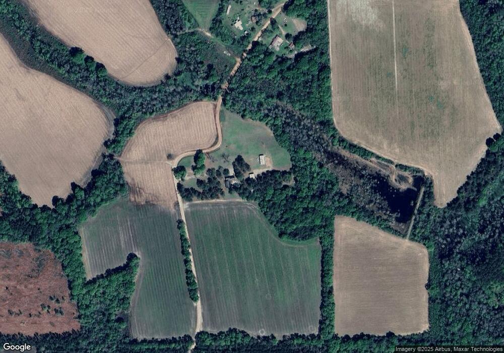
Map
Nearby Homes
- 4837 Huffer Rd
- 6415 George Deen Rd
- 360 Wildwood Rd
- 7468 George Deen Rd
- 5495 Cross Rd
- 24/25 Beaver Kreek Rd
- Lot 11 Beaver Kreek Rd
- lot 2/3 Beaver Kreek Rd
- lot 12 Beaver Kreek Rd
- lot1/2 Beaver Kreek Rd
- 849 Beaver Kreek Rd
- 873 Beaver Kreek Rd
- 1610 Sikes Rd
- 1010 Clough Blvd
- 73 Bay Dr
- 89 Kingsridge Dr
- 161 Green Tree Dr
- 448 Archie Miller Rd
- 699 Twin Lakes Dr
- 4653 Douglas Braxton Hwy
- 198 Michael Peterson Rd
- 8392 George Deen Rd
- 8377 George Deen Rd
- 769 Junior Ward Rd
- 1647 Joe Ellis Rd
- 2395 Joe Ellis Rd
- 8837 & 8979 George Deen Rd
- 000 George Deen Rd
- 714 Jr Ward Rd
- 4898 Huffer Rd
- 4830 Huffer Rd
- 5196 Huffer Rd
- 80 Woodchuck Ln
- 4827 Huffer Rd Unit 4
- 4827 Huffer Rd
- 186 Albert Peterson Rd
- 5436 Huffer Rd
- 4897 Huffer Rd
- 0 Huffer Rd
- 7774 George Deen Rd
Your Personal Tour Guide
Ask me questions while you tour the home.