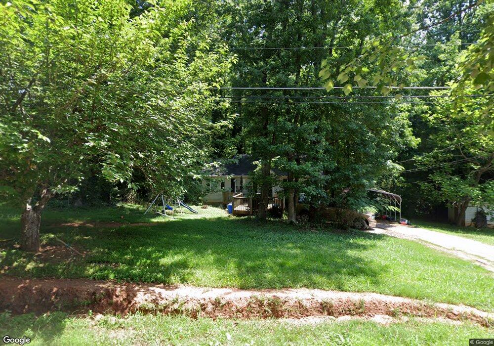
451 Pope Dr Canton, GA 30114
Estimated Value: $244,259 - $321,000
2
Beds
1
Bath
973
Sq Ft
$290/Sq Ft
Est. Value
About This Home
This home is located at 451 Pope Dr, Canton, GA 30114 and is currently estimated at $282,630, approximately $290 per square foot. 451 Pope Dr is a home located in Cherokee County with nearby schools including J. Knox Elementary School, Teasley Middle School, and Cherokee High School.
Ownership History
Date
Name
Owned For
Owner Type
Purchase Details
Closed on
Nov 20, 1995
Sold by
Millsaps Danny Pamela
Bought by
Fox David W
Current Estimated Value
Purchase Details
Closed on
Nov 23, 1993
Sold by
Hodge Anglea M
Bought by
Millsaps Danny and Millsaps Pamela
Home Financials for this Owner
Home Financials are based on the most recent Mortgage that was taken out on this home.
Original Mortgage
$44,650
Interest Rate
11%
Mortgage Type
FHA
Create a Home Valuation Report for This Property
The Home Valuation Report is an in-depth analysis detailing your home's value as well as a comparison with similar homes in the area
Home Values in the Area
Average Home Value in this Area
Purchase History
| Date | Buyer | Sale Price | Title Company |
|---|---|---|---|
| Fox David W | $2,100 | -- | |
| Millsaps Danny | $3,500 | -- |
Source: Public Records
Mortgage History
| Date | Status | Borrower | Loan Amount |
|---|---|---|---|
| Previous Owner | Millsaps Danny | $44,650 | |
| Closed | Fox David W | $0 |
Source: Public Records
Tax History
| Year | Tax Paid | Tax Assessment Tax Assessment Total Assessment is a certain percentage of the fair market value that is determined by local assessors to be the total taxable value of land and additions on the property. | Land | Improvement |
|---|---|---|---|---|
| 2025 | $2,067 | $78,692 | $19,720 | $58,972 |
| 2024 | $1,754 | $67,492 | $12,320 | $55,172 |
| 2023 | $1,780 | $68,492 | $12,320 | $56,172 |
| 2022 | $1,361 | $51,772 | $12,320 | $39,452 |
| 2021 | $1,164 | $41,012 | $10,240 | $30,772 |
| 2020 | $1,065 | $37,492 | $10,240 | $27,252 |
| 2019 | $960 | $33,800 | $10,240 | $23,560 |
| 2018 | $931 | $32,560 | $10,240 | $22,320 |
| 2017 | $948 | $82,300 | $10,240 | $22,680 |
| 2016 | $886 | $76,100 | $9,400 | $21,040 |
| 2015 | $866 | $73,600 | $8,120 | $21,320 |
| 2014 | $682 | $57,900 | $6,840 | $16,320 |
Source: Public Records
Map
Nearby Homes
- 360 Crestwood Dr
- 191 Brookwood Dr
- 189 Pope Dr
- 167 Pope Dr
- 226 Waconda Ave
- 0 Sweetwater St
- 630 Blackwater Ridge Unit 4H
- 413 Arrowhead Trail Unit 4D
- 234 Oakview Dr
- 524 Oriole Farm Trail
- 206 Providence Walk Ct
- 526 Oriole Farm Trail Unit 4L
- 511 Highwater Pass
- 203 River Green Ave
- 534 Oriole Farm Trail
- 126 Oakview Passage
- 7840 Knox Bridge Hwy
- 227 Elmbrook Ln Unit 3L
- 235 Elmbrook Ln
- 212 Village Overlook Unit J4
- 433 Pope Dr
- 491 Pope Dr
- 518 Pope Dr
- 364 Waconda Ave
- 297 Crestwood Dr
- 253 Crestwood Dr
- 395 Crestwood Dr
- 430 Pope Dr
- 434 Pope Dr
- 375 Crestwood Dr
- 375 Crestwood Dr Unit 5
- 271 Pope Dr
- 272 Crestwood Dr
- 320 Crestwood Dr
- 140 Crestwood Dr
- 262 Crestwood Dr
- 191 Crestwood Dr
- 352 Waconda Ave
- 145 Pope Dr Unit LOT 5
- 145 Pope Dr Unit LOT 4
Your Personal Tour Guide
Ask me questions while you tour the home.