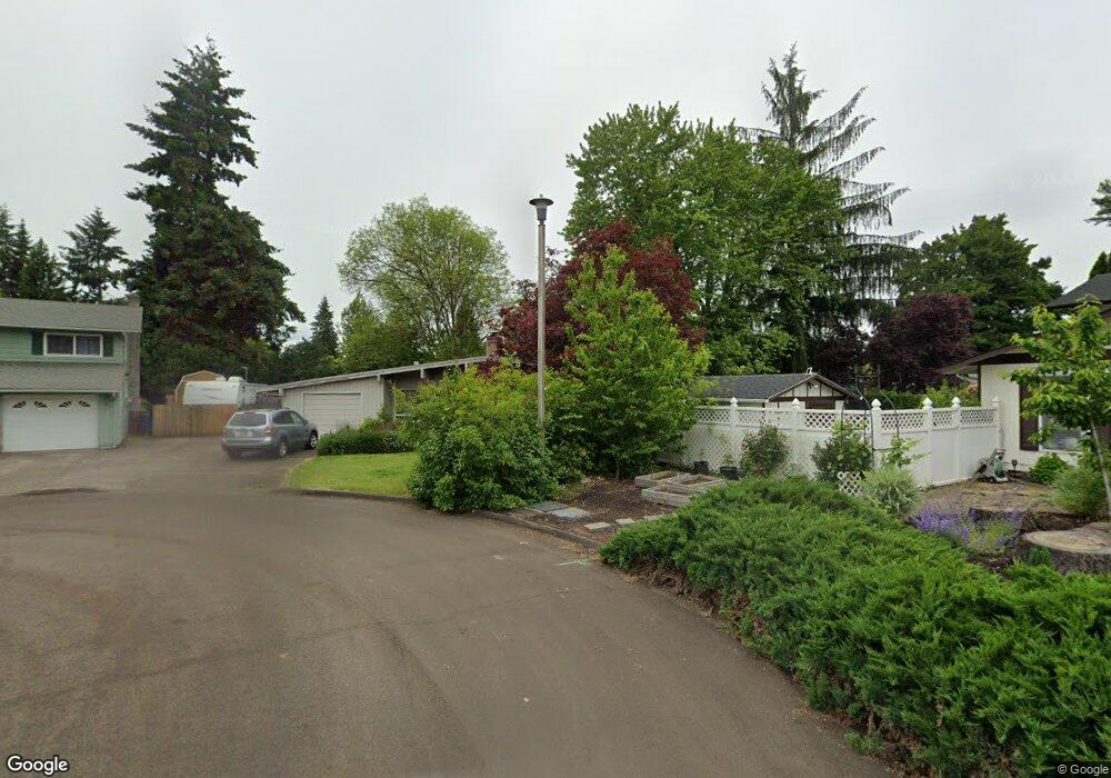
4510 Corona St Eugene, OR 97404
Santa Clara NeighborhoodEstimated Value: $458,000 - $502,000
About This Home
This home is located at 4510 Corona St, Eugene, OR 97404 and is currently estimated at $471,119, approximately $305 per square foot. 4510 Corona St is a home located in Lane County with nearby schools including Awbrey Park Elementary School, Madison Middle School, and North Eugene High School.
Ownership History
We collect this data history from publicly available records. To have your information removed, we recommend requesting removal directly through your county’s website.
Purchase Details
Purchase Details
Home Financials for this Owner
Home Financials are based on the most recent Mortgage that was taken out on this home.Home Values in the Area
Average Home Value in this Area
Purchase History
We collect this data history from publicly available records. To have your information removed, we recommend requesting removal directly through your county’s website.
| Date | Buyer | Sale Price | Title Company |
|---|---|---|---|
| -- | None Available | ||
| $146,000 | Fidelity National Title Ins |
Mortgage History
We collect this data history from publicly available records. To have your information removed, we recommend requesting removal directly through your county’s website.
| Date | Status | Borrower | Loan Amount |
|---|---|---|---|
| Open | $116,800 |
Tax History
We collect this data history from publicly available records. To have your information removed, we recommend requesting removal directly through your county’s website.
| Year | Tax Paid | Tax Assessment Tax Assessment Total Assessment is a certain percentage of the fair market value that is determined by local assessors to be the total taxable value of land and additions on the property. | Land | Improvement |
|---|---|---|---|---|
| 2025 | $3,367 | $263,072 | -- | -- |
| 2024 | $3,350 | $255,410 | -- | -- |
| 2023 | $3,350 | $247,971 | -- | -- |
| 2022 | $3,148 | $240,749 | $0 | $0 |
| 2021 | $2,883 | $233,737 | $0 | $0 |
| 2020 | $2,814 | $226,930 | $0 | $0 |
| 2019 | $2,681 | $220,321 | $0 | $0 |
| 2018 | $2,419 | $207,674 | $0 | $0 |
| 2017 | $2,239 | $207,674 | $0 | $0 |
| 2016 | $2,142 | $201,625 | $0 | $0 |
| 2015 | $2,062 | $195,752 | $0 | $0 |
| 2014 | $1,937 | $190,050 | $0 | $0 |
Map
- 4490 Corona St
- 4610 Altura St
- 61 Springwood Dr
- 4366 Berry Ln
- 4045 Hyacinth St
- 4278 Torrington Ave
- 444 Naismith Blvd
- 170 Daniel Dr
- 4442 Thunderbird St
- 4742 Thunderbird St
- 141 Cortland Ln
- 3928 Hyacinth St
- 196 Maverick Ave
- 190 Naismith Blvd
- 4851 Thunderbird St
- 4485 Briars St
- 4173 Shannon St
- 1060 Tyson Ln
- 3959 Eddystone Place
- 1133 Irvington Dr
- 4500 Corona St
- 4534 Corona St
- 192 Carthage Ave
- 4451 Altura St
- 4566 Corona St
- 4467 Altura St
- 4496 Corona St
- 4441 Altura St
- 4433 Altura St
- 4533 Corona St
- 4565 Corona St
- 195 Carthage Ave
- 4460 Altura St
- 183 Carthage Ave
- 4437 Altura St
- 4495 Corona St
- 4452 Altura St
- 197 Carthage Ave
- 4480 Corona St
- 4431 Altura St
Ask me questions while you tour the home.