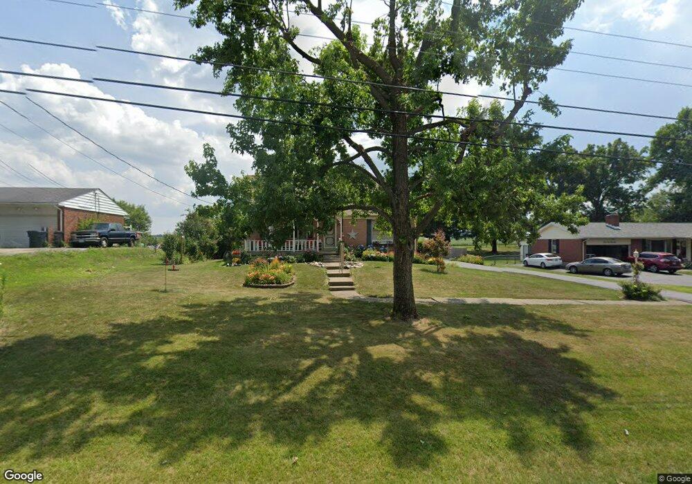
4516 Bosart Rd Springfield, OH 45503
Estimated Value: $270,000 - $307,000
4
Beds
2
Baths
2,182
Sq Ft
$134/Sq Ft
Est. Value
About This Home
This home is located at 4516 Bosart Rd, Springfield, OH 45503 and is currently estimated at $291,577, approximately $133 per square foot. 4516 Bosart Rd is a home located in Clark County with nearby schools including Northridge Elementary School, Kenton Ridge Middle & High School, and Emmanuel Christian Academy.
Ownership History
Date
Name
Owned For
Owner Type
Purchase Details
Closed on
May 22, 2026
Sold by
Norris David and Norris Terri L
Bought by
Norris David and Norris Terri Lynn
Current Estimated Value
Purchase Details
Closed on
Jun 1, 1983
Sold by
Johnson Stanley Q
Bought by
Norris David L and Norris Terri L
Create a Home Valuation Report for This Property
The Home Valuation Report is an in-depth analysis detailing your home's value as well as a comparison with similar homes in the area
Home Values in the Area
Average Home Value in this Area
Purchase History
We collect this data history from publicly available records. To have your information removed, we recommend requesting removal directly through your county’s website.
| Date | Buyer | Sale Price | Title Company |
|---|---|---|---|
| Norris David | -- | None Listed On Document | |
| Norris David L | $64,000 | -- |
Source: Public Records
Tax History
| Year | Tax Paid | Tax Assessment Tax Assessment Total Assessment is a certain percentage of the fair market value that is determined by local assessors to be the total taxable value of land and additions on the property. | Land | Improvement |
|---|---|---|---|---|
| 2025 | $7,110 | $86,910 | $15,540 | $71,370 |
| 2024 | $2,757 | $65,200 | $12,920 | $52,280 |
| 2023 | $2,757 | $65,200 | $12,920 | $52,280 |
| 2022 | $2,767 | $65,200 | $12,920 | $52,280 |
| 2021 | $2,534 | $50,590 | $10,680 | $39,910 |
| 2020 | $2,536 | $50,590 | $10,680 | $39,910 |
| 2019 | $2,584 | $50,590 | $10,680 | $39,910 |
| 2018 | $2,902 | $54,460 | $9,820 | $44,640 |
| 2017 | $2,487 | $53,197 | $9,821 | $43,376 |
| 2016 | $2,470 | $53,197 | $9,821 | $43,376 |
| 2015 | $2,395 | $54,051 | $10,675 | $43,376 |
| 2014 | $2,394 | $54,051 | $10,675 | $43,376 |
| 2013 | $2,339 | $54,051 | $10,675 | $43,376 |
Source: Public Records
Map
Nearby Homes
- 4931 Bosart Rd
- 4008 Bosart Rd
- 4898 Brannan Dr E
- 4642 Laredo St
- 4917 Auston St
- 4732 Lehigh Dr
- 4385 Helena Ct
- 5195 Burton Dr
- 5235 Middle Urbana Rd
- 4512 Ridgewood Rd E
- 4250 Midfield St
- 1341 Student Ave
- 1415 Montego Dr
- 4528 W Ridgewood Rd
- 1788 Berwick Dr
- 1738 Berwick Dr Unit 107
- 1505 Kingsgate Rd
- 1503 Kingsgate Rd
- 1507 Kingsgate Rd
- 1500 Kingsgate Rd Unit 19430
Your Personal Tour Guide
Ask me questions while you tour the home.