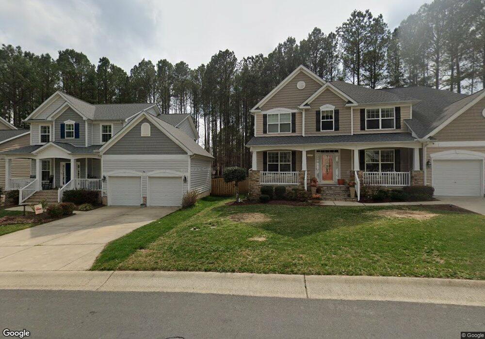
4523 Paces Ferry Dr Durham, NC 27712
North Durham NeighborhoodEstimated Value: $536,989 - $598,000
4
Beds
3
Baths
2,996
Sq Ft
$192/Sq Ft
Est. Value
About This Home
This home is located at 4523 Paces Ferry Dr, Durham, NC 27712 and is currently estimated at $574,747, approximately $191 per square foot. 4523 Paces Ferry Dr is a home located in Durham County with nearby schools including Eno Valley Elementary, George L Carrington Middle, and Northern High School.
Ownership History
Date
Name
Owned For
Owner Type
Purchase Details
Closed on
Dec 29, 2006
Sold by
The Drees Co
Bought by
Bowser Julie F and Bowser Lillian J
Current Estimated Value
Home Financials for this Owner
Home Financials are based on the most recent Mortgage that was taken out on this home.
Original Mortgage
$155,000
Outstanding Balance
$92,524
Interest Rate
6.19%
Mortgage Type
Purchase Money Mortgage
Estimated Equity
$482,223
Create a Home Valuation Report for This Property
The Home Valuation Report is an in-depth analysis detailing your home's value as well as a comparison with similar homes in the area
Home Values in the Area
Average Home Value in this Area
Purchase History
| Date | Buyer | Sale Price | Title Company |
|---|---|---|---|
| Bowser Julie F | $309,000 | None Available |
Source: Public Records
Mortgage History
| Date | Status | Borrower | Loan Amount |
|---|---|---|---|
| Open | Bowser Julie F | $155,000 |
Source: Public Records
Tax History
| Year | Tax Paid | Tax Assessment Tax Assessment Total Assessment is a certain percentage of the fair market value that is determined by local assessors to be the total taxable value of land and additions on the property. | Land | Improvement |
|---|---|---|---|---|
| 2025 | $5,600 | $564,892 | $74,375 | $490,517 |
| 2024 | $4,492 | $322,001 | $47,720 | $274,281 |
| 2023 | $4,218 | $322,001 | $47,720 | $274,281 |
| 2022 | $4,121 | $322,001 | $47,720 | $274,281 |
| 2021 | $4,102 | $322,001 | $47,720 | $274,281 |
| 2020 | $4,005 | $322,001 | $47,720 | $274,281 |
| 2019 | $4,005 | $322,001 | $47,720 | $274,281 |
| 2018 | $3,894 | $287,062 | $47,720 | $239,342 |
| 2017 | $3,865 | $287,062 | $47,720 | $239,342 |
| 2016 | $3,735 | $287,062 | $47,720 | $239,342 |
| 2015 | $4,249 | $306,935 | $47,099 | $259,836 |
| 2014 | $4,249 | $306,935 | $47,099 | $259,836 |
Source: Public Records
Map
Nearby Homes
- 4502 Paces Ferry Dr
- 1224 Bramble Dr
- 5620 Birch Dr
- 5502 Ripplebrook Rd
- 1303 Imperial Dr
- 5410 Ripplebrook Rd
- 5406 Ripplebrook Dr
- 4 Tall Leaf Trail
- 5610 Genesee Dr
- 1417 Barliff Place
- 1409 Cotherstone Dr
- 4 Amador Place
- 5820 Genesee Dr
- 5022 Green Oak Dr
- 427 Vivaldi Dr
- 5857 Genesee Dr
- 7 Bethany Place
- 1109 Prominence Dr
- 1109 Prominence Dr Unit 17
- 204 Accura Ct
- 4525 Paces Ferry Dr
- 4521 Paces Ferry Dr
- 5 Brickstone Place
- 1 Brickstone Place
- 4519 Paces Ferry Dr
- 7 Brickstone Place
- 4520 Paces Ferry Dr
- 4517 Paces Ferry Dr
- 2 Brickstone Place
- 13 Brickstone Place
- 4602 Paces Ferry Dr
- 11 Brickstone Place
- 6 Brickstone Place
- 4 Brickstone Place
- 4516 Paces Ferry Dr
- 8 Brickstone Place
- 4515 Paces Ferry Dr
- 10 Brickstone Place
- 4604 Paces Ferry Dr
- 4603 Paces Ferry Dr
Your Personal Tour Guide
Ask me questions while you tour the home.