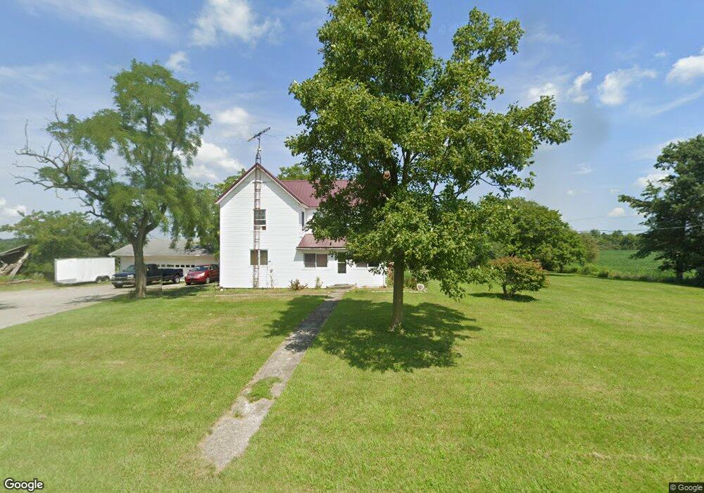
4523 State Route 67 Kenton, OH 43326
Estimated Value: $433,000
Studio
1
Bath
30
Sq Ft
$14,433/Sq Ft
Est. Value
About This Home
This home is located at 4523 State Route 67, Kenton, OH 43326 and is currently estimated at $433,000, approximately $14,433 per square foot. 4523 State Route 67 is a home located in Hardin County with nearby schools including Upper Scioto Valley Elementary School, Upper Scioto Valley Middle School, and Upper Scioto Valley High School.
Ownership History
Date
Name
Owned For
Owner Type
Purchase Details
Closed on
Mar 6, 2012
Sold by
Delong George H
Bought by
Delong George H and Delong Beth A
Current Estimated Value
Purchase Details
Closed on
Mar 20, 2006
Sold by
Delong Gloria A
Bought by
Livi Delong Gloria A and Gloria A Delong Revocable Living Trust
Create a Home Valuation Report for This Property
The Home Valuation Report is an in-depth analysis detailing your home's value as well as a comparison with similar homes in the area
Purchase History
We collect this data history from publicly available records. To have your information removed, we recommend requesting removal directly through your county’s website.
| Date | Buyer | Sale Price | Title Company |
|---|---|---|---|
| Delong George H | -- | None Available | |
| Livi Delong Gloria A | -- | None Available |
Source: Public Records
Tax History
| Year | Tax Paid | Tax Assessment Tax Assessment Total Assessment is a certain percentage of the fair market value that is determined by local assessors to be the total taxable value of land and additions on the property. | Land | Improvement |
|---|---|---|---|---|
| 2025 | $718 | $18,530 | $18,530 | $0 |
| 2024 | $718 | $18,530 | $18,530 | $0 |
| 2023 | $719 | $18,530 | $18,530 | $0 |
| 2022 | $385 | $8,610 | $8,610 | $0 |
| 2021 | $404 | $12,500 | $12,500 | $0 |
| 2020 | $586 | $12,500 | $12,500 | $0 |
| 2019 | $1,013 | $24,340 | $24,340 | $0 |
| 2018 | $1,010 | $24,340 | $24,340 | $0 |
| 2017 | $500 | $29,550 | $25,180 | $4,370 |
| 2016 | $1,672 | $45,790 | $41,300 | $4,490 |
| 2015 | $1,634 | $45,790 | $41,300 | $4,490 |
| 2014 | $1,641 | $44,520 | $40,030 | $4,490 |
| 2013 | $770 | $18,560 | $13,930 | $4,630 |
Source: Public Records
Map
Nearby Homes
- 14155 Township Road 65
- 7370 State Route 67
- 17998 Ohio 117
- 1810 Township Road 130
- 14888 State Route 117
- 16049 Ohio 235 Unit 21
- 16098 Ohio 235 Unit Lot 33
- 16235 Maple Ave
- 16098 State Route 235 Unit Lot 10
- 12045 Ohio 117
- 15650 Ohio 235 Unit 19A
- 9820 Heron Way Unit Lot 32
- 9792 Heron Way Unit Lot 35
- 11851 Ohio 117
- Lot 1 County Road 115
- 15527 State Route 235
- 15427 State Route 235
- 8599 King Ave
- 15848 Barnes Dr
- 11195 Township Road 293 Unit 370
- 4494 State Route 67
- 4532 State Route 67
- 4494 Sr
- 4340 State Route 67
- 14155 County Road 65
- 16915 County Road 65
- 4263 Ohio 67
- 4263 Sr
- 4263 State Route 67
- 16932 County Road 65
- 17001 County Road 65
- 4836 State Route 67
- 4187 State Route 67
- 4867 State Route 67
- 17147 County Road 65
- 17073 County Road 65
- 15402 Tr 55
- 4057 State Route 67
- 17130 County Road 65
- 15374 Township Road 55
Your Personal Tour Guide
Ask me questions while you tour the home.