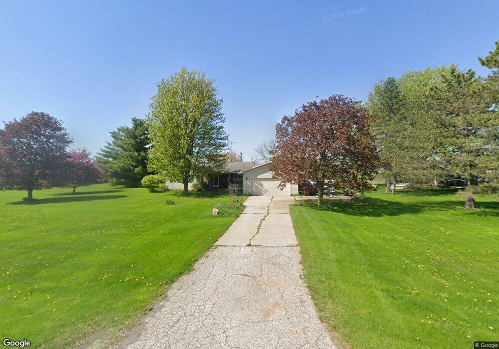
453 Holt Rd Williamston, MI 48895
Estimated Value: $291,028 - $412,000
3
Beds
2
Baths
1,374
Sq Ft
$246/Sq Ft
Est. Value
About This Home
This home is located at 453 Holt Rd, Williamston, MI 48895 and is currently estimated at $337,507, approximately $245 per square foot. 453 Holt Rd is a home located in Ingham County with nearby schools including Williamston Discovery Elementary School, Williamston Explorer Elementary School, and Williamston Middle School.
Ownership History
Date
Name
Owned For
Owner Type
Purchase Details
Closed on
Nov 10, 2014
Sold by
Bater Stuart R and Desantis Janet Sue
Bought by
Bater Stuart R
Current Estimated Value
Home Financials for this Owner
Home Financials are based on the most recent Mortgage that was taken out on this home.
Original Mortgage
$150,714
Outstanding Balance
$115,324
Interest Rate
3.97%
Mortgage Type
VA
Estimated Equity
$222,183
Purchase Details
Closed on
Sep 12, 1997
Bought by
Bater Stuart R and Bater Janet S
Create a Home Valuation Report for This Property
The Home Valuation Report is an in-depth analysis detailing your home's value as well as a comparison with similar homes in the area
Home Values in the Area
Average Home Value in this Area
Purchase History
| Date | Buyer | Sale Price | Title Company |
|---|---|---|---|
| Bater Stuart R | -- | None Available | |
| Bater Stuart R | $116,500 | -- |
Source: Public Records
Mortgage History
| Date | Status | Borrower | Loan Amount |
|---|---|---|---|
| Open | Bater Stuart R | $150,714 |
Source: Public Records
Tax History
| Year | Tax Paid | Tax Assessment Tax Assessment Total Assessment is a certain percentage of the fair market value that is determined by local assessors to be the total taxable value of land and additions on the property. | Land | Improvement |
|---|---|---|---|---|
| 2025 | $4,390 | $128,800 | $22,000 | $106,800 |
| 2024 | $4,044 | $119,100 | $22,600 | $96,500 |
| 2023 | $3,394 | $111,500 | $20,400 | $91,100 |
| 2022 | $3,394 | $100,800 | $19,000 | $81,800 |
| 2020 | $2,552 | $94,900 | $19,000 | $75,900 |
| 2019 | $3,394 | $90,100 | $19,000 | $71,100 |
| 2018 | $3,394 | $85,400 | $19,000 | $66,400 |
| 2017 | $3,202 | $86,500 | $19,000 | $67,500 |
| 2016 | -- | $80,000 | $15,300 | $64,700 |
| 2015 | -- | $79,300 | $30,580 | $48,720 |
| 2014 | -- | $77,400 | $34,740 | $42,660 |
Source: Public Records
Map
Nearby Homes
- 0 Meridian Rd Unit 294377
- 01 825 E Frost Rd
- 1995 N Every Rd
- 2061 N Williamston Rd
- 0 Beechwood Dr
- 0 Holt Rd
- 346 Wind N Wood Dr
- 325 Wind N Wood Dr
- 101 Daggertail Ln
- 1244 Zimmer Place
- 2260 Holt Rd
- 875 W Grand River Ave Unit 35
- 1144 Bonanza Dr
- 945 Southfield Dr
- 1546 Nottingham Forest Trail #62 Trail
- 1542 Nottingham Forest Trail #64
- 718 W Grand River Ave
- 1552 Lytell Johnes Path
- 1530 Lytell Johne's Path #78
- 1235 Joann Ln
Your Personal Tour Guide
Ask me questions while you tour the home.