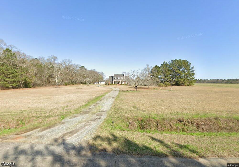
453 Lamar Rd Americus, GA 31709
Estimated Value: $313,000 - $520,000
5
Beds
3
Baths
3,259
Sq Ft
$128/Sq Ft
Est. Value
About This Home
This home is located at 453 Lamar Rd, Americus, GA 31709 and is currently estimated at $417,325, approximately $128 per square foot. 453 Lamar Rd is a home located in Sumter County with nearby schools including Sumter County Primary School, Sumter County Elementary School, and Sumter County Middle School.
Ownership History
Date
Name
Owned For
Owner Type
Purchase Details
Closed on
Sep 13, 2024
Sold by
Salter Walker Carson
Bought by
Walker Carson Salter and Walker Mary Len
Current Estimated Value
Purchase Details
Closed on
Jul 26, 2018
Sold by
Felder G Daniels
Bought by
Walker Carson
Home Financials for this Owner
Home Financials are based on the most recent Mortgage that was taken out on this home.
Original Mortgage
$72,250
Interest Rate
4.54%
Purchase Details
Closed on
Feb 21, 1996
Bought by
Walker Carson S
Purchase Details
Closed on
Feb 28, 1995
Bought by
Walker Carson S
Create a Home Valuation Report for This Property
The Home Valuation Report is an in-depth analysis detailing your home's value as well as a comparison with similar homes in the area
Purchase History
| Date | Buyer | Sale Price | Title Company |
|---|---|---|---|
| Walker Carson Salter | -- | -- | |
| Walker Carson | $85,000 | -- | |
| Walker Carson S | -- | -- | |
| Walker Carson S | $4,000 | -- |
Source: Public Records
Mortgage History
| Date | Status | Borrower | Loan Amount |
|---|---|---|---|
| Previous Owner | Walker Carson | $72,250 | |
| Previous Owner | Walker Carson | -- |
Source: Public Records
Tax History
| Year | Tax Paid | Tax Assessment Tax Assessment Total Assessment is a certain percentage of the fair market value that is determined by local assessors to be the total taxable value of land and additions on the property. | Land | Improvement |
|---|---|---|---|---|
| 2025 | $3,208 | $89,884 | $4,800 | $85,084 |
| 2024 | $3,208 | $89,884 | $4,800 | $85,084 |
| 2023 | $3,121 | $89,884 | $4,800 | $85,084 |
| 2022 | $3,121 | $89,884 | $4,800 | $85,084 |
| 2021 | $3,127 | $89,884 | $4,800 | $85,084 |
| 2020 | $3,220 | $89,884 | $4,800 | $85,084 |
| 2019 | $3,154 | $89,884 | $4,800 | $85,084 |
| 2018 | $3,154 | $89,884 | $4,800 | $85,084 |
| 2017 | $3,154 | $89,884 | $4,800 | $85,084 |
| 2016 | $3,156 | $89,884 | $4,800 | $85,084 |
| 2015 | $3,158 | $91,844 | $4,800 | $87,044 |
| 2014 | $3,162 | $91,844 | $4,800 | $87,044 |
| 2013 | -- | $91,844 | $4,800 | $87,044 |
Source: Public Records
Map
Nearby Homes
- 1003 Georgia 27
- 1003 Ga Highway 27 E
- 1346 Ga Highway 27 E
- 338 Buttercup Ln
- 105 Honeysuckle Ct
- Lot 52 Dellwood Dr
- lot 47 Greenwood Dr
- 0 Ashley Rd
- 111 Cedar Ridge Dr
- 122 Southland Ridge Dr
- 214 Brookwood Ln
- 263 Murphy Mill Rd
- 293 Upper River Rd
- 206 Knollwood Dr
- 101 Willet Way
- 310 Wildwood Cir
- Lot 5 Lake Jennifer Dr
- 122 Tommy Hooks Rd
- 219 Murphy Mill Rd
- 113 Clearview Cir
Your Personal Tour Guide
Ask me questions while you tour the home.