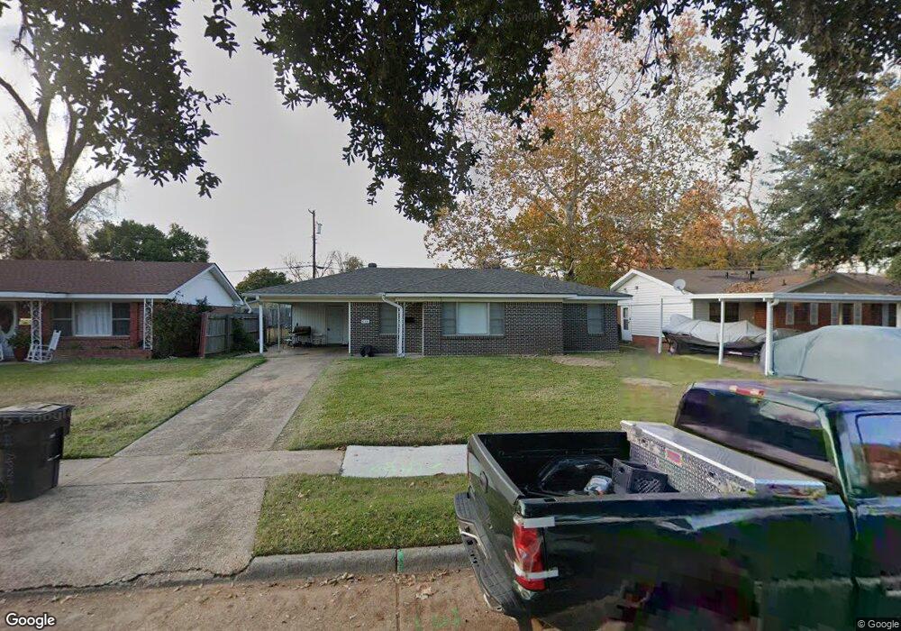
454 Apache Trail Shreveport, LA 71107
Freestate-North Highlands NeighborhoodEstimated Value: $65,000 - $85,000
About This Home
This home is located at 454 Apache Trail, Shreveport, LA 71107 and is currently estimated at $75,629, approximately $67 per square foot. 454 Apache Trail is a home located in Caddo Parish with nearby schools including Cherokee Park Elementary School, Fairfield Magnet School, and Claiborne Fundamental Elementary School.
Ownership History
We collect this data history from publicly available records. To have your information removed, we recommend requesting removal directly through your county’s website.
Purchase Details
Purchase Details
Purchase Details
Purchase Details
Purchase Details
Home Values in the Area
Average Home Value in this Area
Purchase History
We collect this data history from publicly available records. To have your information removed, we recommend requesting removal directly through your county’s website.
| Date | Buyer | Sale Price | Title Company |
|---|---|---|---|
| $6,000 | None Available | ||
| $950 | -- | ||
| $1,007 | None Available | ||
| $421 | None Available | ||
| $325 | None Available |
Tax History
We collect this data history from publicly available records. To have your information removed, we recommend requesting removal directly through your county’s website.
| Year | Tax Paid | Tax Assessment Tax Assessment Total Assessment is a certain percentage of the fair market value that is determined by local assessors to be the total taxable value of land and additions on the property. | Land | Improvement |
|---|---|---|---|---|
| 2025 | $729 | $4,657 | $750 | $3,907 |
| 2024 | $726 | $4,657 | $750 | $3,907 |
| 2023 | $737 | $4,621 | $714 | $3,907 |
| 2022 | $737 | $4,621 | $714 | $3,907 |
| 2021 | $725 | $4,621 | $714 | $3,907 |
| 2020 | $725 | $4,621 | $714 | $3,907 |
| 2019 | $751 | $4,641 | $714 | $3,927 |
| 2018 | $598 | $4,641 | $714 | $3,927 |
| 2017 | $762 | $4,641 | $714 | $3,927 |
| 2015 | $739 | $5,702 | $714 | $4,988 |
| 2014 | $727 | $5,570 | $710 | $4,860 |
| 2013 | -- | $5,570 | $710 | $4,860 |
Map
- 442 Chickasaw Trail
- 426 Chickasaw Trail
- 409 Chickasaw Trail
- 0 Bird Island None Unit 2541395
- 1209 Crestmoor Dr
- 1110 Dunbriar Dr
- 4925 N Market St
- 0000 N Market St
- 0 Silver Point Dr Unit 11 20803059
- 0 Silver Point Dr Unit 5A 20802976
- 0 Silver Point Dr Unit 7 20803008
- 0 Silver Point Dr Unit 4 20796401
- 0 Silver Point Dr Unit 3 20803133
- 0 Timberlane Dr
- 0 Hwy 1 Unit 20326562
- 908 Deer Park Rd
- 202 Kelly St
- 317 Kelly St
- 323 Kelly St
- 119 and 119 1/2 Thompson St
- 458 Apache Trail
- 450 Apache Trail
- 446 Apache Trail
- 462 Apache Trail
- 449 Choctaw Trail
- 445 Choctaw Trail
- 453 Choctaw Trail
- 457 Apache Trail
- 457 Choctaw Trail
- 453 Apache Trail
- 442 Apache Trail
- 466 Apache Trail
- 449 Apache Trail
- 437 Choctaw Trail
- 461 Choctaw Trail
- 465 Apache Trail
- 438 Apache Trail
- 470 Apache Trail
- 445 Apache Trail
- 433 Choctaw Trail
Ask me questions while you tour the home.