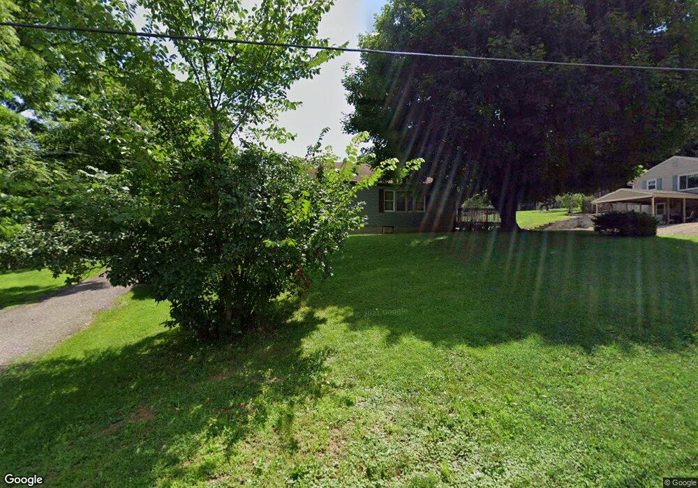
455 Davidson St Mansfield, OH 44907
Estimated Value: $128,000 - $144,000
3
Beds
1
Bath
1,416
Sq Ft
$96/Sq Ft
Est. Value
About This Home
This home is located at 455 Davidson St, Mansfield, OH 44907 and is currently estimated at $136,367, approximately $96 per square foot. 455 Davidson St is a home located in Richland County with nearby schools including Madison High School, St. Peter's Elementary/Montessori School, and St. Peter's Junior High / High School.
Ownership History
Date
Name
Owned For
Owner Type
Purchase Details
Closed on
Jan 6, 2015
Sold by
Brown Michael L and Brown Susan K
Bought by
Cornell Bryan E
Current Estimated Value
Home Financials for this Owner
Home Financials are based on the most recent Mortgage that was taken out on this home.
Original Mortgage
$41,632
Outstanding Balance
$31,818
Interest Rate
4.25%
Mortgage Type
FHA
Estimated Equity
$104,549
Create a Home Valuation Report for This Property
The Home Valuation Report is an in-depth analysis detailing your home's value as well as a comparison with similar homes in the area
Home Values in the Area
Average Home Value in this Area
Purchase History
| Date | Buyer | Sale Price | Title Company |
|---|---|---|---|
| Cornell Bryan E | $42,400 | Southern Title |
Source: Public Records
Mortgage History
| Date | Status | Borrower | Loan Amount |
|---|---|---|---|
| Open | Cornell Bryan E | $41,632 |
Source: Public Records
Tax History
| Year | Tax Paid | Tax Assessment Tax Assessment Total Assessment is a certain percentage of the fair market value that is determined by local assessors to be the total taxable value of land and additions on the property. | Land | Improvement |
|---|---|---|---|---|
| 2025 | $1,230 | $31,120 | $7,090 | $24,030 |
| 2024 | $1,230 | $31,120 | $7,090 | $24,030 |
| 2023 | $1,258 | $31,120 | $7,090 | $24,030 |
| 2022 | $939 | $21,440 | $6,040 | $15,400 |
| 2021 | $939 | $21,440 | $6,040 | $15,400 |
| 2020 | $948 | $21,440 | $6,040 | $15,400 |
| 2019 | $904 | $18,450 | $5,120 | $13,330 |
| 2018 | $895 | $18,450 | $5,120 | $13,330 |
| 2017 | $877 | $18,450 | $5,120 | $13,330 |
| 2016 | $1,296 | $26,640 | $8,220 | $18,420 |
| 2015 | $1,272 | $26,640 | $8,220 | $18,420 |
| 2014 | $613 | $25,800 | $7,380 | $18,420 |
| 2012 | $606 | $27,160 | $7,770 | $19,390 |
Source: Public Records
Map
Nearby Homes
- 625 Mansfield Lucas Rd
- 410 Birdcage Walk
- 475 Beethoven St
- 519 S Diamond St
- 352 Remy Ave
- 794 Mansfield Washington Rd
- 260 Dale Ave
- 571 Luther St
- 62 Bahl Ave
- 90 Oak St
- 203 Home Ave
- 223 Hedges St
- 138 Cliffbrook Dr
- 195 Hedges St
- 822 Park Ave E
- 832 Park Ave E
- 0 North St Unit 9072753
- 167 S Adams St
- 146 E 1st St
- 273 Hammond Ave
- 467 Davidson St
- 445 Davidson St
- 437 Davidson St
- 457 Beryl Ave
- 431 Davidson St
- 477 Davidson St
- 468 Beryl Ave
- 438 Davidson St
- 0 Davidson St
- 483 Davidson St
- 432 Davidson St
- 439 Beryl Ave
- 417 Davidson St
- 489 Davidson St
- 438 Opal Dr
- 484 Davidson St
- 431 Beryl Ave
- 488 Davidson St
- 438 Beryl Ave
- 420 Davidson St
Your Personal Tour Guide
Ask me questions while you tour the home.