458 Locust Point Rd Rumson, NJ 07760
Locust NeighborhoodEstimated Value: $1,606,000 - $2,809,990
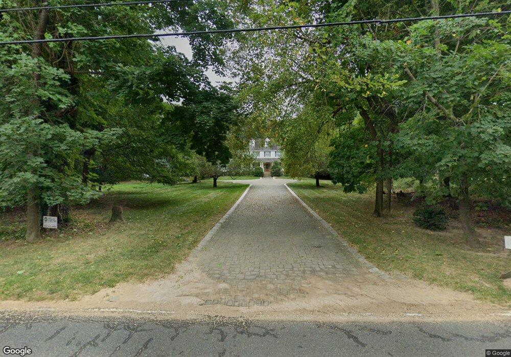
About This Home
This home is located at 458 Locust Point Rd, Rumson, NJ 07760 and is currently estimated at $2,148,748, approximately $561 per square foot. 458 Locust Point Rd is a home located in Monmouth County with nearby schools including Navesink Elementary School, Bayshore Middle School, and Middletown - South High School.
Ownership History
We collect this data history from publicly available records. To have your information removed, we recommend requesting removal directly through your county’s website.
Purchase Details
Home Financials for this Owner
Home Financials are based on the most recent Mortgage that was taken out on this home.Purchase Details
Home Financials for this Owner
Home Financials are based on the most recent Mortgage that was taken out on this home.Home Values in the Area
Average Home Value in this Area
Purchase History
We collect this data history from publicly available records. To have your information removed, we recommend requesting removal directly through your county’s website.
| Date | Buyer | Sale Price | Title Company |
|---|---|---|---|
| $125,000 | -- | ||
| $470,000 | -- |
Mortgage History
We collect this data history from publicly available records. To have your information removed, we recommend requesting removal directly through your county’s website.
| Date | Status | Borrower | Loan Amount |
|---|---|---|---|
| Previous Owner | $1,000,000 | ||
| Previous Owner | $368,000 |
Tax History
We collect this data history from publicly available records. To have your information removed, we recommend requesting removal directly through your county’s website.
| Year | Tax Paid | Tax Assessment Tax Assessment Total Assessment is a certain percentage of the fair market value that is determined by local assessors to be the total taxable value of land and additions on the property. | Land | Improvement |
|---|---|---|---|---|
| 2025 | $22,984 | $1,518,100 | $756,300 | $761,800 |
| 2024 | $23,487 | $1,397,200 | $649,400 | $747,800 |
| 2023 | $23,487 | $1,351,400 | $624,400 | $727,000 |
| 2022 | $23,999 | $1,270,400 | $578,200 | $692,200 |
| 2021 | $23,999 | $1,153,800 | $530,800 | $623,000 |
| 2020 | $24,367 | $1,139,700 | $530,800 | $608,900 |
| 2019 | $24,147 | $1,143,300 | $530,800 | $612,500 |
| 2018 | $24,158 | $1,114,800 | $530,800 | $584,000 |
| 2017 | $25,146 | $1,183,900 | $530,800 | $653,100 |
| 2016 | $24,739 | $1,160,900 | $530,800 | $630,100 |
| 2015 | $23,861 | $1,117,100 | $530,800 | $586,300 |
| 2014 | $23,965 | $1,094,800 | $530,800 | $564,000 |
Map
- 475 Locust Point Rd
- 531 Locust Point Rd
- 534 Locust Point Rd
- 946 Navesink River Rd
- 942 Navesink River Rd
- 934 Navesink River Rd
- 22 Meadowbrook Ave
- 677 Locust Point Rd
- 41 Sears Ave
- 96 East Ave Unit 10
- 115 Browns Dock Rd
- 112 Navesink Ave
- 26 King James Ln
- 15 Columbia Ave
- 9 King James Ln
- 244 Van Kirk Ave
- 161 E Washington Ave
- 1 2nd St
- 6998 Prospect Ave
- 383 Navesink Ave
- 475 Locust Point Rd
- 463 Locust Point Rd
- 479 Locust Point Rd
- 467 Locust Point Rd
- 483 Locust Point Rd
- 455 Locust Point Rd
- 471 Locust Point Rd
- 459 Locust Point Rd
- 451 Locust Point Rd
- 491 Locust Point Rd
- 446 Locust Point Rd
- 201 Locust Ave
- 474 Locust Point Rd
- 207 Locust Ave
- 452 Locust Point Rd
- 500 Locust Point Rd
- 211 Locust Ave
- 445 Locust Point Rd
- 466 Locust Point Rd
- 504 Locust Point Rd
Ask me questions while you tour the home.