Estimated Value: $251,000 - $300,390
3
Beds
2
Baths
1,708
Sq Ft
$160/Sq Ft
Est. Value
About This Home
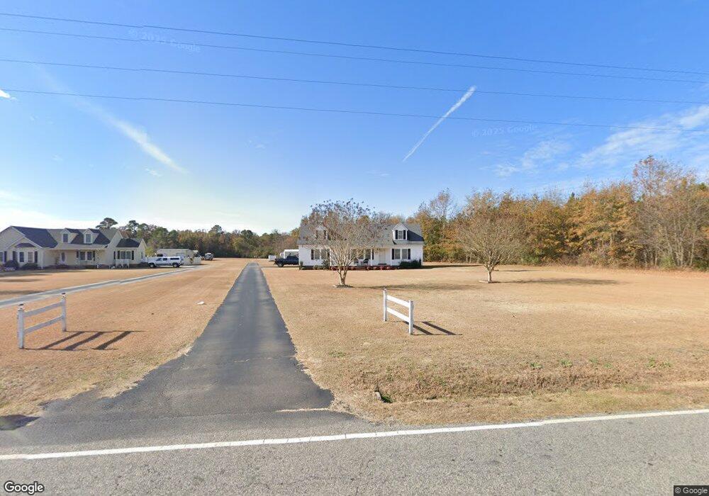
This home is located at 459 N Spring Branch Rd, Dunn, NC 28334 and is currently estimated at $274,098, approximately $160 per square foot. 459 N Spring Branch Rd is a home located in Sampson County with nearby schools including Midway Elementary School, Midway Middle School, and Midway High School.
Ownership History
Date
Name
Owned For
Owner Type
Purchase Details
Closed on
Apr 30, 2024
Sold by
House Anthony Neil and House Jennifer Goodson
Bought by
Mckay Allen Dylan and Leigh Allen Mckenzie
Current Estimated Value
Home Financials for this Owner
Home Financials are based on the most recent Mortgage that was taken out on this home.
Original Mortgage
$235,653
Outstanding Balance
$230,978
Interest Rate
5%
Mortgage Type
FHA
Estimated Equity
$43,120
Purchase Details
Closed on
May 4, 2004
Bought by
House Anthony Neil
Create a Home Valuation Report for This Property
The Home Valuation Report is an in-depth analysis detailing your home's value as well as a comparison with similar homes in the area
Home Values in the Area
Average Home Value in this Area
Purchase History
| Date | Buyer | Sale Price | Title Company |
|---|---|---|---|
| Mckay Allen Dylan | $240,000 | None Listed On Document | |
| Mckay Allen Dylan | $240,000 | None Listed On Document | |
| House Anthony Neil | -- | -- |
Source: Public Records
Mortgage History
| Date | Status | Borrower | Loan Amount |
|---|---|---|---|
| Open | Mckay Allen Dylan | $235,653 | |
| Closed | Mckay Allen Dylan | $235,653 |
Source: Public Records
Tax History
| Year | Tax Paid | Tax Assessment Tax Assessment Total Assessment is a certain percentage of the fair market value that is determined by local assessors to be the total taxable value of land and additions on the property. | Land | Improvement |
|---|---|---|---|---|
| 2025 | $2,113 | $272,687 | $30,693 | $241,994 |
| 2024 | $1,922 | $272,687 | $30,693 | $241,994 |
| 2023 | $1,662 | $179,657 | $26,689 | $152,968 |
| 2022 | $1,644 | $179,657 | $26,689 | $152,968 |
| 2021 | $1,644 | $179,657 | $26,689 | $152,968 |
| 2020 | $1,644 | $179,657 | $26,689 | $152,968 |
| 2019 | $1,644 | $179,657 | $0 | $0 |
| 2018 | $1,507 | $164,717 | $0 | $0 |
| 2017 | $1,507 | $164,717 | $0 | $0 |
| 2016 | $1,515 | $164,717 | $0 | $0 |
| 2015 | $1,515 | $164,717 | $0 | $0 |
| 2014 | $1,515 | $164,717 | $0 | $0 |
Source: Public Records
Map
Nearby Homes
- 0 Glover Rd
- 1965 Green Path Rd
- 1808 Alderman Mill Rd
- 1788 Alderman Mill Rd
- 0 Archie Lee Rd
- 1768 Alderman Mill Rd
- 1744 Alderman Mill Rd
- 148 Phil Jack Rd
- 188 Heron Ct
- 44 Harvest Hills Ln
- 83 Harvest Hills Ln
- 100 Merlin Ct
- 0 Brownstone Ln Unit 758025
- 307 Mill Ridge Ct
- 214 Taylor's Creek Way
- 81 Merlin Ct
- 100 Mustang Ln
- 5575 Straw Pond School Rd
- 15401 Dunn Rd
- 24 Clubhouse Dr
- 510 N Spring Branch Rd
- 411 N Spring Branch Rd
- 435 N Spring Branch Rd
- 372 N Spring Branch Rd
- 1775 Aman Dairy Rd
- 1939 Aman Dairy Rd
- 1786 Aman Dairy Rd
- 1959 Aman Dairy Rd
- 1718 Aman Dairy Rd
- 1671 Aman Dairy Rd
- 1668 Aman Dairy Rd
- 1631 Aman Dairy Rd
- 2045 Aman Dairy Rd
- 2020 Aman Dairy Rd
- 1597 Aman Dairy Rd
- 718 N Spring Branch Rd
- 181 Hill Owen Ln
- 202 N Spring Branch Rd
- 202 N Spring Branch Rd
- 175 N Spring Branch Rd
Your Personal Tour Guide
Ask me questions while you tour the home.