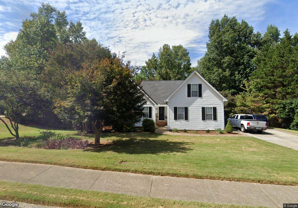
4596 Duane Dr Unit 1 Buford, GA 30519
Estimated Value: $395,000 - $454,987
About This Home
This home is located at 4596 Duane Dr Unit 1, Buford, GA 30519 and is currently estimated at $427,497, approximately $241 per square foot. 4596 Duane Dr Unit 1 is a home located in Gwinnett County with nearby schools including Duncan Creek Elementary School, Frank N. Osborne Middle School, and Mill Creek High School.
Ownership History
We collect this data history from publicly available records. To have your information removed, we recommend requesting removal directly through your county’s website.
Purchase Details
Home Financials for this Owner
Home Financials are based on the most recent Mortgage that was taken out on this home.Purchase Details
Home Financials for this Owner
Home Financials are based on the most recent Mortgage that was taken out on this home.Purchase Details
Purchase Details
Home Financials for this Owner
Home Financials are based on the most recent Mortgage that was taken out on this home.Home Values in the Area
Average Home Value in this Area
Purchase History
We collect this data history from publicly available records. To have your information removed, we recommend requesting removal directly through your county’s website.
| Date | Buyer | Sale Price | Title Company |
|---|---|---|---|
| $172,500 | -- | ||
| -- | -- | ||
| -- | -- | ||
| $148,059 | -- | ||
| $153,700 | -- |
Mortgage History
We collect this data history from publicly available records. To have your information removed, we recommend requesting removal directly through your county’s website.
| Date | Status | Borrower | Loan Amount |
|---|---|---|---|
| Closed | $25,875 | ||
| Open | $138,000 | ||
| Previous Owner | $158,250 |
Tax History
We collect this data history from publicly available records. To have your information removed, we recommend requesting removal directly through your county’s website.
| Year | Tax Paid | Tax Assessment Tax Assessment Total Assessment is a certain percentage of the fair market value that is determined by local assessors to be the total taxable value of land and additions on the property. | Land | Improvement |
|---|---|---|---|---|
| 2025 | $4,860 | $184,000 | $28,800 | $155,200 |
| 2024 | $4,857 | $207,000 | $28,800 | $178,200 |
| 2023 | $4,857 | $176,040 | $28,800 | $147,240 |
| 2022 | $4,564 | $163,320 | $26,400 | $136,920 |
| 2021 | $3,707 | $119,200 | $20,240 | $98,960 |
| 2020 | $3,592 | $112,640 | $18,400 | $94,240 |
| 2019 | $3,502 | $112,640 | $18,400 | $94,240 |
| 2018 | $3,170 | $97,160 | $18,400 | $78,760 |
| 2016 | $2,918 | $84,480 | $13,600 | $70,880 |
| 2015 | $2,672 | $72,280 | $11,600 | $60,680 |
| 2014 | $2,685 | $72,280 | $11,600 | $60,680 |
Map
- 2426 Naples St
- 2436 Naples St
- 2669 Turnwater St
- 2457 Naples St
- 5395 Miravista Way
- 2799 Turnwater St
- 2809 Turnwater St
- 2355 Pemberton Point
- 1965 Deer Creek Trail
- 5028 Stefan Ridge Way
- 2222 Nillville Dr
- 5175 Stefan Ridge Way
- 2123 Oak Falls Ln
- 5213 Morrell Rd
- 5222 Morrell Rd
- 5704 Miravista Way
- 5734 Miravista Way
- 2737 Duncans View Trace NE
- 5209 Cedar Shoals Dr
- 2109 Barberry Dr
- 2155 Pemberton Point
- 2165 Pemberton Point Unit 1
- 2145 Pemberton Point
- 4632 Devencrest Ln Unit 1
- 2175 Pemberton Point Unit 1
- 4606 Duane Dr
- 4602 Devencrest Ln Unit 1
- 4652 Devencrest Ln
- 2130 Pemberton Point
- 4672 Devencrest Ln
- 2185 Pemberton Point
- 4682 Devencrest Ln Unit 83 A
- 4682 Devencrest Ln
- 2120 Pemberton Point Unit 1
- 4623 Devencrest Ln Unit 1
- 2190 Pemberton Point
- 4633 Devencrest Ln
- 4633 Devencrest Ln
- 4633 Devencrest Ln
- 2195 Pemberton Point Unit 1
Ask me questions while you tour the home.