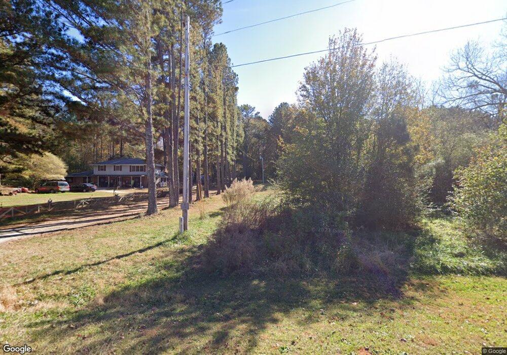
46 Bates Rd Covington, GA 30014
Estimated Value: $146,000 - $207,000
Studio
1
Bath
1,008
Sq Ft
$180/Sq Ft
Est. Value
About This Home
This home is located at 46 Bates Rd, Covington, GA 30014 and is currently estimated at $181,689, approximately $180 per square foot. 46 Bates Rd is a home located in Newton County with nearby schools including Mansfield Elementary School, Indian Creek Middle School, and Alcovy High School.
Ownership History
Date
Name
Owned For
Owner Type
Purchase Details
Closed on
Nov 22, 2016
Sold by
Bayview Ln Svcg Llc
Bought by
Princeton Commercial A Holding
Current Estimated Value
Purchase Details
Closed on
Apr 9, 2013
Sold by
Green Ronadl L
Bought by
Nelms Michael R and Sparks Christopher F
Purchase Details
Closed on
Nov 10, 2011
Sold by
Lester Cookie
Bought by
Green Ronald L
Create a Home Valuation Report for This Property
The Home Valuation Report is an in-depth analysis detailing your home's value as well as a comparison with similar homes in the area
Home Values in the Area
Average Home Value in this Area
Purchase History
| Date | Buyer | Sale Price | Title Company |
|---|---|---|---|
| Princeton Commercial A Holding | -- | -- | |
| Nelms Michael R | $15,000 | -- | |
| Green Ronald L | -- | -- |
Source: Public Records
Mortgage History
| Date | Status | Borrower | Loan Amount |
|---|---|---|---|
| Closed | Nelms Michael R | $0 |
Source: Public Records
Tax History
| Year | Tax Paid | Tax Assessment Tax Assessment Total Assessment is a certain percentage of the fair market value that is determined by local assessors to be the total taxable value of land and additions on the property. | Land | Improvement |
|---|---|---|---|---|
| 2025 | $1,544 | $62,040 | $13,000 | $49,040 |
| 2024 | $950 | $37,520 | $7,400 | $30,120 |
| 2023 | $928 | $34,200 | $7,400 | $26,800 |
| 2022 | $835 | $30,760 | $7,400 | $23,360 |
| 2021 | $708 | $23,360 | $7,400 | $15,960 |
| 2020 | $761 | $22,640 | $8,640 | $14,000 |
| 2019 | $733 | $21,480 | $8,640 | $12,840 |
| 2018 | $673 | $19,600 | $8,640 | $10,960 |
| 2017 | $678 | $19,760 | $7,200 | $12,560 |
| 2016 | $678 | $19,760 | $7,200 | $12,560 |
| 2015 | $768 | $22,360 | $7,200 | $15,160 |
| 2014 | $205 | $6,000 | $0 | $0 |
Source: Public Records
Map
Nearby Homes
- 150 W Pennick Dr
- 686 Newton Factory Bridge Rd
- 0 Newton Factory Bridge Rd Unit 10615368
- 0 Newton Factory Bridge Rd Unit 7657995
- 70 McDonald Rd
- 0 Pickett Bridge Rd Unit 10696400
- 0 Pickett Bridge Rd Unit 7723248
- 0 Pickett Bridge Rd Unit 7723236
- 0 Pickett Bridge Rd Unit 10696395
- 35 Stewart Hollow Ln
- 1042 Stag Run Dr
- 867 Bear Creek Point
- 115 Willow Springs Dr
- 80 Stewart Hollow Ln
- 132 Armstrong Dr Unit 91
- 1360 Stag Run Dr
- 20 Hollow Ct
- 122 Armstrong Dr Unit 90
- 112 Armstrong Dr Unit 89
- 102 Armstrong Dr Unit 88
Your Personal Tour Guide
Ask me questions while you tour the home.